Property Record
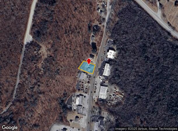
109 Norwich Rd, Plainfield, CT 06374

NEARBY LISTINGS FOR SALE OR LEASE
Property Detail
109 Norwich Rd
PLAI-000015-000075-000007
Windham
Commercialnec
Connecticut
X
7
09015C0359F
0.31 AC
2024
Windham County
2025
Hartford
907100
Willimantic, CT
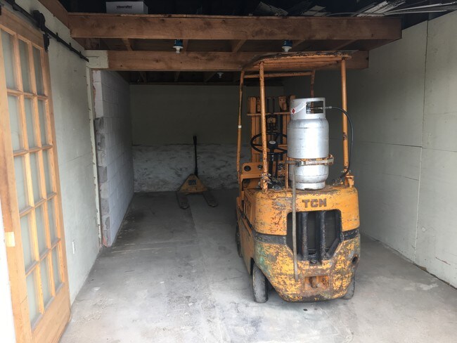
576 SF
DEMOGRAPHICS near 109 Norwich Rd
1 Mile
3 Mile
5 Mile
2024 Total Population
1,519
12,137
20,868
2029 Population
1,488
12,009
20,707
Pop Growth 2024-2029
(2.04%)
(1.05%)
(0.77%)
Average Age
42
41
41
2024 Total Households
633
4,782
8,086
HH Growth 2024-2029
(2.05%)
(1.05%)
(0.77%)
Median Household Inc
$65,000
$69,982
$76,959
Avg Household Size
2.40
2.50
2.50
2024 Avg HH Vehicles
2.00
2.00
2.00
Median Home Value
$210,927
$220,599
$240,547
Median Year Built
1959
1967
1971
Nearby Places
Map Layers
Map Styles
 Street
 Aerial
- Restaurants
- Banks
- Shops
- Fitness
- Groceries
PUBLIC TRANSPORTATION
AIRPORT
Rhode Island Tf Green International
DRIVE
WALK
Distance
Rhode Island Tf Green International
49 min
35.8 mi
Freight Ports
Port of Davisville, RI
DRIVE
WALK
Distance
Port of Davisville, RI
60 min
45.1 mi
SALE & LEASE HISTORY
LISTING DATE
SALE/LEASE

Aug 22, 2017
For Sale
Nearby Properties
Address
Land Use
TOTAL SIZE
Lot Size
Zoning
Address
Land Use
TOTAL SIZE
Lot Size
Zoning
186,583 SF
87.26 AC
RA60
Address
Land Use
TOTAL SIZE
Lot Size
Zoning
37.12 AC
RA60
Address
Land Use
TOTAL SIZE
Lot Size
Zoning
13,444 SF
10.94 AC
RA30
Address
Land Use
TOTAL SIZE
Lot Size
Zoning
55,128 SF
5 AC
RA19
Address
Land Use
TOTAL SIZE
Lot Size
Zoning
10.29 AC
RA19
Address
Land Use
TOTAL SIZE
Lot Size
Zoning
23.55 AC
I
Address
Land Use
TOTAL SIZE
Lot Size
Zoning
2,836 SF
139.54 AC
I
Address
Land Use
TOTAL SIZE
Lot Size
Zoning
35,165 SF
6.63 AC
RA30
Address
Land Use
TOTAL SIZE
Lot Size
Zoning
11.29 AC
C
Address
Land Use
TOTAL SIZE
Lot Size
Zoning
139.70 AC
RA60
Address
Land Use
TOTAL SIZE
Lot Size
Zoning
96,848 SF
13.88 AC
IND-1
Address
Land Use
TOTAL SIZE
Lot Size
Zoning
11.50 AC
RA60
Address
Land Use
TOTAL SIZE
Lot Size
Zoning
8.30 AC
RA30
Address
Land Use
TOTAL SIZE
Lot Size
Zoning
13,812 SF
1.70 AC
RA19
Address
Land Use
TOTAL SIZE
Lot Size
Zoning
233,322 SF
13.60 AC
I
Address
Land Use
TOTAL SIZE
Lot Size
Zoning
18,600 SF
2.50 AC
RA19
Address
Land Use
TOTAL SIZE
Lot Size
Zoning
38.06 AC
Address
Land Use
TOTAL SIZE
Lot Size
Zoning
334 AC
RA60
Address
Land Use
TOTAL SIZE
Lot Size
Zoning
1,475 SF
148.80 AC
I
Address
Land Use
TOTAL SIZE
Lot Size
Zoning
27,060 SF
2.76 AC
C2
Address
Land Use
TOTAL SIZE
Lot Size
Zoning
1.40 AC
RA30
Address
Land Use
TOTAL SIZE
Lot Size
Zoning
5.18 AC
IND
Address
Land Use
TOTAL SIZE
Lot Size
Zoning
9,066 SF
1.20 AC
C2
Address
Land Use
TOTAL SIZE
Lot Size
Zoning
3,146 SF
9.93 AC
RA19
Address
Land Use
TOTAL SIZE
Lot Size
Zoning
9,100 SF
1.64 AC
C1
Address
Land Use
TOTAL SIZE
Lot Size
Zoning
0.23 AC
IP
Address
Land Use
TOTAL SIZE
Lot Size
Zoning
29,640 SF
2.72 AC
RA60
Address
Land Use
TOTAL SIZE
Lot Size
Zoning
29,447 SF
2.50 AC
C
Address
Land Use
TOTAL SIZE
Lot Size
Zoning
18,610 SF
3.88 AC
RA30
Address
Land Use
TOTAL SIZE
Lot Size
Zoning
25,000 SF
5.60 AC
IND
The World's #1 Commercial Real Estate Marketplace
Connect with us
© 2026 CoStar Group
The information above has been obtained from sources believed reliable. While we do not doubt its accuracy we have not verified it and make no guarantee, warranty or representation about it. It is your responsibility to independently confirm its accuracy and completeness. Any projections, opinions, assumptions, or estimates used are for example only and do not represent the current or future performance of the property. The value of this transaction to you depends on tax and other factors which should be evaluated by your tax, financial, and legal advisors. You and your advisors should conduct a careful, independent investigation of the property to determine to your satisfaction the suitability of the property for your needs.