Property Record
10900 Berry Rd, Waldorf, MD 20603

NEARBY LISTINGS FOR SALE OR LEASE
Property Detail
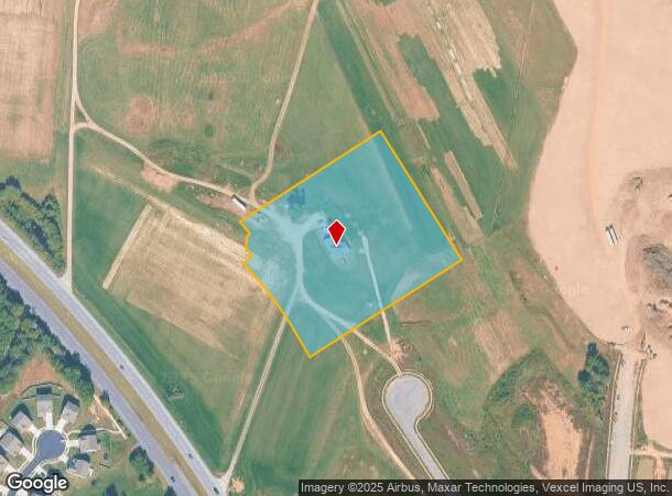
10900 Berry Rd
06-035337
Town Of La Plata
Commercialnec
RESIDUE B PLT 7 PH 2 BERRY POINTE SUB
X
Charles
24033C0345E
Maryland
2025
4.79 AC
2025
Charles County
850710
Washington, DC
2,759 SF
Washington-Arlington-Alexandria, DC-VA-MD-WV
DEMOGRAPHICS near 10900 Berry Rd
1 Mile
3 Mile
5 Mile
2024 Total Population
7,462
48,333
106,703
2029 Population
7,805
50,349
110,350
Pop Growth 2024-2029
+ 4.60%
+ 4.17%
+ 3.42%
Average Age
39
37
38
2024 Total Households
2,409
16,953
37,471
HH Growth 2024-2029
+ 4.52%
+ 4.13%
+ 3.43%
Median Household Inc
$127,203
$107,306
$108,229
Avg Household Size
3.00
2.80
2.80
2024 Avg HH Vehicles
2.00
2.00
2.00
Median Home Value
$380,288
$356,629
$369,083
Median Year Built
1996
1993
1991
Nearby Places
Map Layers
Map Styles
 Street
 Aerial
- Restaurants
- Banks
- Shops
- Fitness
- Groceries
PUBLIC TRANSPORTATION
AIRPORT
Ronald Reagan Washington Ntl
DRIVE
WALK
Distance
Ronald Reagan Washington Ntl
43 min
24.0 mi
Freight Ports
Port of Baltimore
DRIVE
WALK
Distance
Port of Baltimore
84 min
56.5 mi
Nearby Properties
Address
Land Use
TOTAL SIZE
Lot Size
Zoning
Address
Land Use
TOTAL SIZE
Lot Size
Zoning
714,134 SF
29.53 AC
PUD
Address
Land Use
TOTAL SIZE
Lot Size
Zoning
392,898 SF
36.37 AC
PRD
Address
Land Use
TOTAL SIZE
Lot Size
Zoning
311,000 SF
79.06 AC
WCD
Address
Land Use
TOTAL SIZE
Lot Size
Zoning
477,958 SF
47.50 AC
CB
Address
Land Use
TOTAL SIZE
Lot Size
Zoning
267,264 SF
26.49 AC
PUD
Address
Land Use
TOTAL SIZE
Lot Size
Zoning
312,478 SF
54.26 AC
PUD
Address
Land Use
TOTAL SIZE
Lot Size
Zoning
392,124 SF
38.73 AC
PUD
Address
Land Use
TOTAL SIZE
Lot Size
Zoning
206,966 SF
32.61 AC
CB
Address
Land Use
TOTAL SIZE
Lot Size
Zoning
198,230 SF
62.59 AC
BP
Address
Land Use
TOTAL SIZE
Lot Size
Zoning
188,284 SF
9.02 AC
RM
Address
Land Use
TOTAL SIZE
Lot Size
Zoning
262,779 SF
26.84 AC
CB
Address
Land Use
TOTAL SIZE
Lot Size
Zoning
136,192 SF
17.85 AC
PUD
Address
Land Use
TOTAL SIZE
Lot Size
Zoning
177,540 SF
27.64 AC
WCD
Address
Land Use
TOTAL SIZE
Lot Size
Zoning
177,540 SF
12.66 AC
WCD
Address
Land Use
TOTAL SIZE
Lot Size
Zoning
167,075 SF
11.01 AC
RH
Address
Land Use
TOTAL SIZE
Lot Size
Zoning
134,542 SF
51.88 AC
WCD
Address
Land Use
TOTAL SIZE
Lot Size
Zoning
186,500 SF
52.67 AC
PUD
Address
Land Use
TOTAL SIZE
Lot Size
Zoning
161,208 SF
10.99 AC
RH
Address
Land Use
TOTAL SIZE
Lot Size
Zoning
160,985 SF
24.85 AC
CB
Address
Land Use
TOTAL SIZE
Lot Size
Zoning
112,736 SF
16.71 AC
PUD
Address
Land Use
TOTAL SIZE
Lot Size
Zoning
143,728 SF
19.71 AC
CB
Address
Land Use
TOTAL SIZE
Lot Size
Zoning
194,972 SF
59.84 AC
RH
Address
Land Use
TOTAL SIZE
Lot Size
Zoning
87,100 SF
22.22 AC
WCD
Address
Land Use
TOTAL SIZE
Lot Size
Zoning
132,745 SF
2.59 AC
CC
Address
Land Use
TOTAL SIZE
Lot Size
Zoning
109,304 SF
9.09 AC
PUD
Address
Land Use
TOTAL SIZE
Lot Size
Zoning
116,828 SF
10.78 AC
PUD
Address
Land Use
TOTAL SIZE
Lot Size
Zoning
123,290 SF
8.25 AC
PUD
Address
Land Use
TOTAL SIZE
Lot Size
Zoning
191,746 SF
10.46 AC
PUD
Address
Land Use
TOTAL SIZE
Lot Size
Zoning
90,238 SF
4.50 AC
CB
Address
Land Use
TOTAL SIZE
Lot Size
Zoning
80,760 SF
5.70 AC
CC
The World's #1 Commercial Real Estate Marketplace
Connect with us
© 2025 CoStar Group
The information above has been obtained from sources believed reliable. While we do not doubt its accuracy we have not verified it and make no guarantee, warranty or representation about it. It is your responsibility to independently confirm its accuracy and completeness. Any projections, opinions, assumptions, or estimates used are for example only and do not represent the current or future performance of the property. The value of this transaction to you depends on tax and other factors which should be evaluated by your tax, financial, and legal advisors. You and your advisors should conduct a careful, independent investigation of the property to determine to your satisfaction the suitability of the property for your needs.