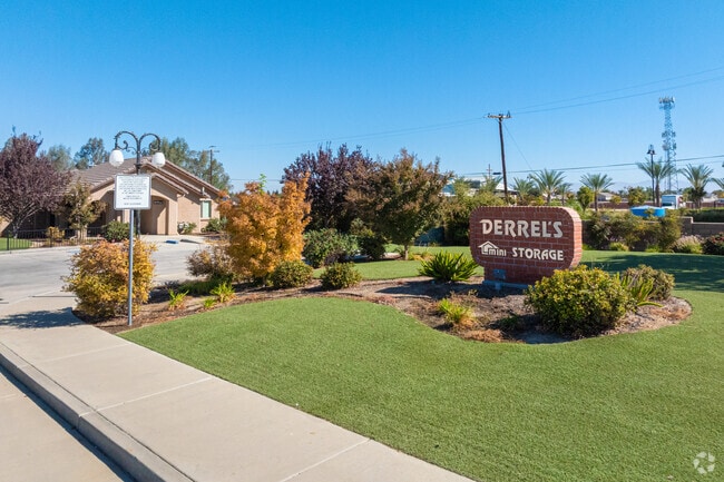
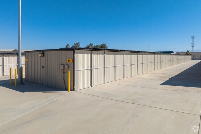
Property Record
10948 Snow Rd, Bakersfield, CA 93314

Property Detail
10948 Snow Rd
492-090-70-00-7
SECTION 6 , TOWNSHIP 29 , RANGE 27 , QUARTER SW
Publicstorage
Kern
C-2
California
B and X Area of moderate flood hazard, usually the area between the limits of the 100-year and 500-year floods.
17.53 AC
2024
Northwest Bakersfield
2025
Bakersfield
003814
Bakersfield-Delano, CA
3,870 SF
NEARBY LISTINGS FOR SALE OR LEASE
DEMOGRAPHICS near 10948 Snow Rd
1 mile
3 mile
5 mile
2025 Total Population
9,543
53,841
104,180
2030 Population
9,576
54,222
105,997
Pop Growth 2025-2030
+ 0.35%
+ 0.71%
+ 1.74%
Average Age
35
37
38
2025 Total Households
2,764
17,081
34,361
HH Growth 2025-2030
+ 0.29%
+ 0.61%
+ 1.70%
Median Household Inc
$128,453
$123,720
$110,407
Avg Household Size
3.40
3.10
3.00
2025 Avg HH Vehicles
2.00
2.00
2.00
Median Home Value
$444,913
$439,594
$445,309
Median Year Built
2005
2000
1999
Nearby Places
Map Layers
Map Styles
 Street
 Aerial
Layers
 Traffic
 Biking
Places
Listings with unknown addresses are not visible on the map
- Restaurants
- Banks
- Shops
- Fitness
- Groceries
PUBLIC TRANSPORTATION
COMMUTER RAIL
Bakersfield (San Joaquins - Amtrak)
Drive
Walk
Distance
Bakersfield (San Joaquins - Amtrak)
16 min
9.4 mi
AIRPORT
Meadows Field
Drive
Walk
Distance
Meadows Field
15 min
5.9 mi
Freight Ports
The Port of Hueneme
Drive
Walk
Distance
The Port of Hueneme
163 min
129.7 mi
Nearby Properties
Address
Land Use
TOTAL SIZE
Lot Size
Zoning
Address
Land Use
TOTAL SIZE
Lot Size
Zoning
134,728 SF
7.56 AC
R3
Address
Land Use
TOTAL SIZE
Lot Size
Zoning
3,497 SF
31.27 AC
E
Address
Land Use
TOTAL SIZE
Lot Size
Zoning
1,949 SF
6.43 AC
R-2
Address
Land Use
TOTAL SIZE
Lot Size
Zoning
72,726 SF
13.15 AC
M2
Address
Land Use
TOTAL SIZE
Lot Size
Zoning
92,953 SF
13.59 AC
C2
Address
Land Use
TOTAL SIZE
Lot Size
Zoning
50,949 SF
78.05 AC
M-2
Address
Land Use
TOTAL SIZE
Lot Size
Zoning
168,559 SF
5.34 AC
M-2
Address
Land Use
TOTAL SIZE
Lot Size
Zoning
16,991 SF
17.46 AC
R1
Address
Land Use
TOTAL SIZE
Lot Size
Zoning
1,860 SF
7.86 AC
Address
Land Use
TOTAL SIZE
Lot Size
Zoning
57,560 SF
5.53 AC
C1
Address
Land Use
TOTAL SIZE
Lot Size
Zoning
56,750 SF
5.27 AC
C2
Address
Land Use
TOTAL SIZE
Lot Size
Zoning
62,536 SF
2.11 AC
M2
Address
Land Use
TOTAL SIZE
Lot Size
Zoning
55,042 SF
0.49 AC
M1
Address
Land Use
TOTAL SIZE
Lot Size
Zoning
144,439 SF
10.04 AC
M-2
Address
Land Use
TOTAL SIZE
Lot Size
Zoning
58,294 SF
5.33 AC
C1
Address
Land Use
TOTAL SIZE
Lot Size
Zoning
41,177 SF
4.59 AC
C-2 PCD
Address
Land Use
TOTAL SIZE
Lot Size
Zoning
9.16 AC
Address
Land Use
TOTAL SIZE
Lot Size
Zoning
7,500 SF
3.28 AC
M-2 PD
Address
Land Use
TOTAL SIZE
Lot Size
Zoning
43,088 SF
2.07 AC
M2
Address
Land Use
TOTAL SIZE
Lot Size
Zoning
Address
Land Use
TOTAL SIZE
Lot Size
Zoning
49,911 SF
2.20 AC
M-2
Address
Land Use
TOTAL SIZE
Lot Size
Zoning
9,535 SF
2.58 AC
C2
Address
Land Use
TOTAL SIZE
Lot Size
Zoning
8,361 SF
3.42 AC
C2
Address
Land Use
TOTAL SIZE
Lot Size
Zoning
36,642 SF
1.72 AC
M-2
Address
Land Use
TOTAL SIZE
Lot Size
Zoning
Address
Land Use
TOTAL SIZE
Lot Size
Zoning
22,290 SF
23.55 AC
E
The World's #1 Commercial Real Estate Marketplace
Connect with us
© 2026 CoStar Group
The information above has been obtained from sources believed reliable. While we do not doubt its accuracy we have not verified it and make no guarantee, warranty or representation about it. It is your responsibility to independently confirm its accuracy and completeness. Any projections, opinions, assumptions, or estimates used are for example only and do not represent the current or future performance of the property. The value of this transaction to you depends on tax and other factors which should be evaluated by your tax, financial, and legal advisors. You and your advisors should conduct a careful, independent investigation of the property to determine to your satisfaction the suitability of the property for your needs.