Property Record
11 Lucon Dr, Deer Park, NY 11729


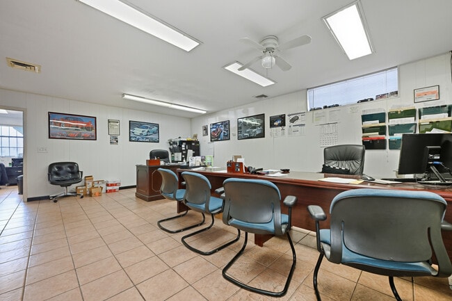
Current Lease Availabilities
NEARBY LISTINGS FOR SALE OR LEASE
Property Detail
11 Lucon Dr
0100-067-00-01-00-017-000
N-R.M.M. E-CAGEN S-LUCON ASSOC. W-LUCON DR.
Industrialgeneral
Suffolk
X
New York
36103C0645H
17
2024
0.58 AC
2024
Deer Park
122801
Long Island (New York)
9,990 SF
Nassau County-Suffolk County, NY
DEMOGRAPHICS near 11 Lucon Dr
1 Mile
3 Mile
5 Mile
2024 Total Population
10,479
106,134
280,388
2029 Population
10,249
103,351
273,200
Pop Growth 2024-2029
(2.19%)
(2.62%)
(2.56%)
Average Age
41
39
39
2024 Total Households
3,522
31,645
82,731
HH Growth 2024-2029
(2.39%)
(2.77%)
(2.68%)
Median Household Inc
$98,108
$118,454
$119,400
Avg Household Size
2.80
3.20
3.20
2024 Avg HH Vehicles
2.00
2.00
2.00
Median Home Value
$419,911
$455,729
$464,997
Median Year Built
1966
1963
1964
Nearby Places
Map Layers
Map Styles
 Street
 Aerial
- Restaurants
- Banks
- Shops
- Fitness
- Groceries
PUBLIC TRANSPORTATION
COMMUTER RAIL
Deer Park Station (Ronkonkoma Branch - Long Island Rail Road)
DRIVE
WALK
Distance
Deer Park Station (Ronkonkoma Branch - Long Island Rail Road)
4 min
1.7 mi
Wyandanch Station (Ronkonkoma Branch - Long Island Rail Road)
DRIVE
WALK
Distance
Wyandanch Station (Ronkonkoma Branch - Long Island Rail Road)
7 min
3.0 mi
AIRPORT
Long Island MacArthur
DRIVE
WALK
Distance
Long Island MacArthur
24 min
15.0 mi
John F Kennedy International
DRIVE
WALK
Distance
John F Kennedy International
44 min
31.9 mi
LaGuardia
DRIVE
WALK
Distance
LaGuardia
53 min
35.7 mi
Freight Ports
NY - Red Hook Container Terminal
DRIVE
WALK
Distance
NY - Red Hook Container Terminal
64 min
43.8 mi
Nearby Properties
Address
Land Use
TOTAL SIZE
Lot Size
Zoning
Address
Land Use
TOTAL SIZE
Lot Size
Zoning
4.81 AC
AAA
Address
Land Use
TOTAL SIZE
Lot Size
Zoning
371.18 AC
AAA
Address
Land Use
TOTAL SIZE
Lot Size
Zoning
4.39 AC
AAA
Address
Land Use
TOTAL SIZE
Lot Size
Zoning
52.73 AC
AAA
Address
Land Use
TOTAL SIZE
Lot Size
Zoning
1,400 SF
10.27 AC
BD
Address
Land Use
TOTAL SIZE
Lot Size
Zoning
23.91 AC
IND1
Address
Land Use
TOTAL SIZE
Lot Size
Zoning
117.66 AC
AAA
Address
Land Use
TOTAL SIZE
Lot Size
Zoning
109.45 AC
AAA
Address
Land Use
TOTAL SIZE
Lot Size
Zoning
12 AC
A
Address
Land Use
TOTAL SIZE
Lot Size
Zoning
16.23 AC
A
Address
Land Use
TOTAL SIZE
Lot Size
Zoning
19.56 AC
BUS3
Address
Land Use
TOTAL SIZE
Lot Size
Zoning
30 AC
IND1
Address
Land Use
TOTAL SIZE
Lot Size
Zoning
31.64 AC
Address
Land Use
TOTAL SIZE
Lot Size
Zoning
15 AC
A
Address
Land Use
TOTAL SIZE
Lot Size
Zoning
10.74 AC
Address
Land Use
TOTAL SIZE
Lot Size
Zoning
18.37 AC
IND1
Address
Land Use
TOTAL SIZE
Lot Size
Zoning
20.13 AC
Address
Land Use
TOTAL SIZE
Lot Size
Zoning
10.44 AC
BUS3
Address
Land Use
TOTAL SIZE
Lot Size
Zoning
13.50 AC
AA
Address
Land Use
TOTAL SIZE
Lot Size
Zoning
777,483 SF
80.70 AC
GA
Address
Land Use
TOTAL SIZE
Lot Size
Zoning
8.83 AC
Address
Land Use
TOTAL SIZE
Lot Size
Zoning
14.63 AC
IND1
Address
Land Use
TOTAL SIZE
Lot Size
Zoning
79.78 AC
AAA
Address
Land Use
TOTAL SIZE
Lot Size
Zoning
9.70 AC
B
Address
Land Use
TOTAL SIZE
Lot Size
Zoning
6.66 AC
A
Address
Land Use
TOTAL SIZE
Lot Size
Zoning
52.32 AC
AAA
Address
Land Use
TOTAL SIZE
Lot Size
Zoning
13.28 AC
IND1
Address
Land Use
TOTAL SIZE
Lot Size
Zoning
11.20 AC
A
Address
Land Use
TOTAL SIZE
Lot Size
Zoning
10.22 AC
IBD
Address
Land Use
TOTAL SIZE
Lot Size
Zoning
13.30 AC
A
The World's #1 Commercial Real Estate Marketplace
Connect with us
© 2025 CoStar Group
The information above has been obtained from sources believed reliable. While we do not doubt its accuracy we have not verified it and make no guarantee, warranty or representation about it. It is your responsibility to independently confirm its accuracy and completeness. Any projections, opinions, assumptions, or estimates used are for example only and do not represent the current or future performance of the property. The value of this transaction to you depends on tax and other factors which should be evaluated by your tax, financial, and legal advisors. You and your advisors should conduct a careful, independent investigation of the property to determine to your satisfaction the suitability of the property for your needs.