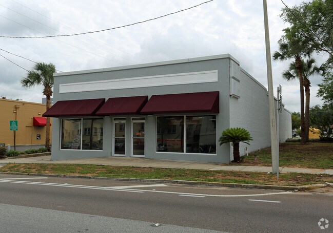
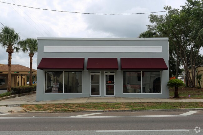
Property Record
11 N Grove St, Eustis, FL 32726
NEARBY LISTINGS FOR SALE OR LEASE
Property Detail
11 N Grove St
Orlando-Kissimmee-Sanford, FL
Eustis
11-19-26-0100-053-00000
EUSTIS N 29 FT OF S 88.1 FT OF W 91.4 FT OF BLK 53 N 40 FT OF LOTS 9 10 & 11 W 21 FT OF N 40 FT OF LOT 12 BLK 53 PB 1 PG 79 ORB 4930 PG 1688 ORB 5529 PG 793
Storemultistory
Lake
X
Florida
12069C0356E
9
2024
0.17 AC
2026
Lake County
030206
Orlando
4,290 SF
DEMOGRAPHICS near 11 N Grove St
1 Mile
3 Mile
5 Mile
2024 Total Population
7,064
33,902
72,371
2029 Population
8,237
39,348
84,501
Pop Growth 2024-2029
+ 16.61%
+ 16.06%
+ 16.76%
Average Age
41
43
45
2024 Total Households
2,783
14,091
30,835
HH Growth 2024-2029
+ 16.53%
+ 15.82%
+ 16.64%
Median Household Inc
$47,976
$56,318
$59,874
Avg Household Size
2.40
2.30
2.30
2024 Avg HH Vehicles
2.00
2.00
2.00
Median Home Value
$186,465
$230,783
$248,744
Median Year Built
1961
1982
1984
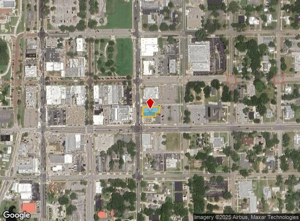
Nearby Places
Map Layers
Map Styles
 Street
 Aerial
- Restaurants
- Banks
- Shops
- Fitness
- Groceries
PUBLIC TRANSPORTATION
AIRPORT
Orlando Sanford International
DRIVE
WALK
Distance
Orlando Sanford International
55 min
35.1 mi
Freight Ports
Port Canaveral
DRIVE
WALK
Distance
Port Canaveral
115 min
92.0 mi
SALE & LEASE HISTORY
LISTING DATE
SALE/LEASE

Sep 23, 2016
For Sale
Mar 22, 2019
For Sale
Jun 27, 2017
For Lease
Nearby Properties
Address
Land Use
TOTAL SIZE
Lot Size
Zoning
Address
Land Use
TOTAL SIZE
Lot Size
Zoning
730,215 SF
151.42 AC
PD
Address
Land Use
TOTAL SIZE
Lot Size
Zoning
302,511 SF
23.16 AC
Address
Land Use
TOTAL SIZE
Lot Size
Zoning
278,266 SF
23.85 AC
PD
Address
Land Use
TOTAL SIZE
Lot Size
Zoning
226,508 SF
19.15 AC
Address
Land Use
TOTAL SIZE
Lot Size
Zoning
158,442 SF
17.50 AC
MCI
Address
Land Use
TOTAL SIZE
Lot Size
Zoning
267,107 SF
20.40 AC
R1
Address
Land Use
TOTAL SIZE
Lot Size
Zoning
85,539 SF
9.39 AC
Address
Land Use
TOTAL SIZE
Lot Size
Zoning
204,433 SF
28.43 AC
R1
Address
Land Use
TOTAL SIZE
Lot Size
Zoning
135,298 SF
9.22 AC
SR
Address
Land Use
TOTAL SIZE
Lot Size
Zoning
190,551 SF
20.31 AC
GC
Address
Land Use
TOTAL SIZE
Lot Size
Zoning
36,261 SF
6.27 AC
PD
Address
Land Use
TOTAL SIZE
Lot Size
Zoning
71,076 SF
1.42 AC
Address
Land Use
TOTAL SIZE
Lot Size
Zoning
174,744 SF
38.45 AC
GI
Address
Land Use
TOTAL SIZE
Lot Size
Zoning
79,296 SF
8.54 AC
R3
Address
Land Use
TOTAL SIZE
Lot Size
Zoning
129,512 SF
15 AC
Address
Land Use
TOTAL SIZE
Lot Size
Zoning
94,435 SF
8.16 AC
GC
Address
Land Use
TOTAL SIZE
Lot Size
Zoning
146,690 SF
15.19 AC
RMF2
Address
Land Use
TOTAL SIZE
Lot Size
Zoning
50,754 SF
17.31 AC
R1
Address
Land Use
TOTAL SIZE
Lot Size
Zoning
106,175 SF
8.10 AC
UR
Address
Land Use
TOTAL SIZE
Lot Size
Zoning
54,035 SF
1.65 AC
PD
Address
Land Use
TOTAL SIZE
Lot Size
Zoning
77,567 SF
5.14 AC
UR
Address
Land Use
TOTAL SIZE
Lot Size
Zoning
100,117 SF
7.45 AC
GC
Address
Land Use
TOTAL SIZE
Lot Size
Zoning
116,261 SF
5.66 AC
Address
Land Use
TOTAL SIZE
Lot Size
Zoning
60,476 SF
6.76 AC
MCR
Address
Land Use
TOTAL SIZE
Lot Size
Zoning
70,525 SF
37.62 AC
R2
Address
Land Use
TOTAL SIZE
Lot Size
Zoning
44,275 SF
22.50 AC
C1
Address
Land Use
TOTAL SIZE
Lot Size
Zoning
12,573 SF
43.71 AC
A
Address
Land Use
TOTAL SIZE
Lot Size
Zoning
2,000 SF
44.77 AC
CFD
Address
Land Use
TOTAL SIZE
Lot Size
Zoning
59,200 SF
7.66 AC
C3
Address
Land Use
TOTAL SIZE
Lot Size
Zoning
46,374 SF
6.96 AC
GC
The World's #1 Commercial Real Estate Marketplace
Connect with us
© 2025 CoStar Group
The information above has been obtained from sources believed reliable. While we do not doubt its accuracy we have not verified it and make no guarantee, warranty or representation about it. It is your responsibility to independently confirm its accuracy and completeness. Any projections, opinions, assumptions, or estimates used are for example only and do not represent the current or future performance of the property. The value of this transaction to you depends on tax and other factors which should be evaluated by your tax, financial, and legal advisors. You and your advisors should conduct a careful, independent investigation of the property to determine to your satisfaction the suitability of the property for your needs.