Property Record
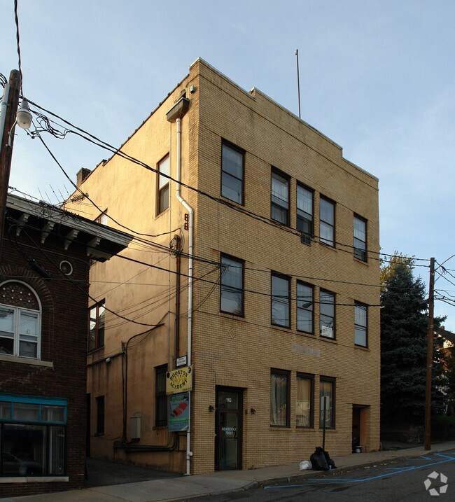
110 Cornelia St, Boonton, NJ 07005


Property Detail
110 Cornelia St
Newark, NJ
ADDITIONAL LOTS: 112 CORNELIA ST
01-00009-0000-00013
Morris
Commercialofficeresidentialmixeduse
New Jersey
B-1
13
2024
0.11 AC
2025
Parsippany
041000
Northern New Jersey
10,524 SF
NEARBY LISTINGS FOR SALE OR LEASE
DEMOGRAPHICS near 110 Cornelia St
1 mile
3 mile
5 mile
2025 Total Population
9,620
52,266
111,027
2030 Population
9,801
53,627
114,030
Pop Growth 2025-2030
+ 1.88%
+ 2.60%
+ 2.70%
Average Age
42
42
43
2025 Total Households
3,687
20,062
40,920
HH Growth 2025-2030
+ 1.95%
+ 2.67%
+ 2.76%
Median Household Inc
$114,272
$124,098
$136,894
Avg Household Size
2.50
2.50
2.60
2025 Avg HH Vehicles
2.00
2.00
2.00
Median Home Value
$540,639
$645,551
$635,417
Median Year Built
1958
1967
1967
Nearby Places
Map Layers
Map Styles
 Street
 Aerial
Transit
 Traffic
 Biking
Places
Listings with unknown addresses are not visible on the map
- Restaurants
- Banks
- Shops
- Fitness
- Groceries
PUBLIC TRANSPORTATION
TRANSIT/SUBWAY
Boonton (Montclair-Boonton Line - NJ Transit Commuter Rail (NJ Transit))
Drive
Walk
Distance
Boonton (Montclair-Boonton Line - NJ Transit Commuter Rail (NJ Transit))
0 min
3 min
0.2 mi
COMMUTER RAIL
Boonton (Montclair-Boonton Line - NJ Transit Commuter Rail (NJ Transit))
Drive
Walk
Distance
Boonton (Montclair-Boonton Line - NJ Transit Commuter Rail (NJ Transit))
0 min
4 min
0.2 mi
Mountain Lakes (Montclair-Boonton Line - NJ Transit Commuter Rail (NJ Transit))
Drive
Walk
Distance
Mountain Lakes (Montclair-Boonton Line - NJ Transit Commuter Rail (NJ Transit))
7 min
2.9 mi
AIRPORT
Newark Liberty International
Drive
Walk
Distance
Newark Liberty International
36 min
27.9 mi
LaGuardia
Drive
Walk
Distance
LaGuardia
58 min
39.2 mi
Freight Ports
Maher Terminal
Drive
Walk
Distance
Maher Terminal
41 min
29.0 mi
SALE & LEASE HISTORY
LISTING DATE
SALE/LEASE

Sep 25, 2016
For Lease
Oct 11, 2022
For Lease
Oct 02, 2020
For Sale
Mar 08, 2018
For Lease
Jul 11, 2021
For Lease
Nearby Properties
Address
Land Use
TOTAL SIZE
Lot Size
Zoning
Address
Land Use
TOTAL SIZE
Lot Size
Zoning
98,228 SF
16.66 AC
I-1
Address
Land Use
TOTAL SIZE
Lot Size
Zoning
428,141 SF
12.30 AC
OB-3
Address
Land Use
TOTAL SIZE
Lot Size
Zoning
114,267 SF
27.26 AC
SED5
Address
Land Use
TOTAL SIZE
Lot Size
Zoning
4.94 AC
OLV
Address
Land Use
TOTAL SIZE
Lot Size
Zoning
3.86 AC
O-3
Address
Land Use
TOTAL SIZE
Lot Size
Zoning
32.61 AC
R-5
Address
Land Use
TOTAL SIZE
Lot Size
Zoning
16.01 AC
R-C
Address
Land Use
TOTAL SIZE
Lot Size
Zoning
1,440 SF
38.80 AC
I-2
Address
Land Use
TOTAL SIZE
Lot Size
Zoning
140,560 SF
49.81 AC
R27A
Address
Land Use
TOTAL SIZE
Lot Size
Zoning
217,502 SF
25 AC
SED5
Address
Land Use
TOTAL SIZE
Lot Size
Zoning
Address
Land Use
TOTAL SIZE
Lot Size
Zoning
26.65 AC
AHD7
Address
Land Use
TOTAL SIZE
Lot Size
Zoning
100,392 SF
19.18 AC
B-1
Address
Land Use
TOTAL SIZE
Lot Size
Zoning
4,172 SF
338 AC
R-1
Address
Land Use
TOTAL SIZE
Lot Size
Zoning
132,411 SF
24.87 AC
B-5
Address
Land Use
TOTAL SIZE
Lot Size
Zoning
17.33 AC
R-5
Address
Land Use
TOTAL SIZE
Lot Size
Zoning
10.80 AC
R-5
Address
Land Use
TOTAL SIZE
Lot Size
Zoning
4.99 AC
OB
Address
Land Use
TOTAL SIZE
Lot Size
Zoning
379,285 SF
24.01 AC
SD5A
Address
Land Use
TOTAL SIZE
Lot Size
Zoning
171,032 SF
12.93 AC
POD
Address
Land Use
TOTAL SIZE
Lot Size
Zoning
4.02 AC
R-3
Address
Land Use
TOTAL SIZE
Lot Size
Zoning
11.52 AC
R-5
Address
Land Use
TOTAL SIZE
Lot Size
Zoning
184,993 SF
8.38 AC
POD
Address
Land Use
TOTAL SIZE
Lot Size
Zoning
13,971 SF
16.12 AC
B-1
Address
Land Use
TOTAL SIZE
Lot Size
Zoning
11.05 AC
R-5
Address
Land Use
TOTAL SIZE
Lot Size
Zoning
179,144 SF
40.54 AC
R-3
Address
Land Use
TOTAL SIZE
Lot Size
Zoning
Address
Land Use
TOTAL SIZE
Lot Size
Zoning
211,848 SF
18.57 AC
POD
Address
Land Use
TOTAL SIZE
Lot Size
Zoning
41.21 AC
R-A
Address
Land Use
TOTAL SIZE
Lot Size
Zoning
8.80 AC
L
The World's #1 Commercial Real Estate Marketplace
Connect with us
© 2026 CoStar Group
The information above has been obtained from sources believed reliable. While we do not doubt its accuracy we have not verified it and make no guarantee, warranty or representation about it. It is your responsibility to independently confirm its accuracy and completeness. Any projections, opinions, assumptions, or estimates used are for example only and do not represent the current or future performance of the property. The value of this transaction to you depends on tax and other factors which should be evaluated by your tax, financial, and legal advisors. You and your advisors should conduct a careful, independent investigation of the property to determine to your satisfaction the suitability of the property for your needs.