Property Record
110 Smirl Dr, Rockwall, TX 75032
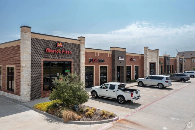


Property Detail
110 Smirl Dr
Dallas-Fort Worth-Arlington, TX
LAURENCE CROSSING, BLOCK A, LOT 1
91071
ROCKWALL
Commercialnec
Texas
B and X Area of moderate flood hazard, usually the area between the limits of the 100-year and 500-year floods.
1
2024
1.36 AC
2025
East Dallas Outlying
040507
Dallas/Ft Worth
14,225 SF
NEARBY LISTINGS FOR SALE OR LEASE
DEMOGRAPHICS near 110 Smirl Dr
1 mile
3 mile
5 mile
2025 Total Population
1,942
26,163
79,787
2030 Population
2,340
32,522
95,959
Pop Growth 2025-2030
+ 20.49%
+ 24.31%
+ 20.27%
Average Age
42
37
37
2025 Total Households
668
8,600
27,506
HH Growth 2025-2030
+ 20.36%
+ 22.77%
+ 18.64%
Median Household Inc
$172,045
$119,730
$94,842
Avg Household Size
2.90
3.00
2.80
2025 Avg HH Vehicles
3.00
2.00
2.00
Median Home Value
$727,987
$459,360
$386,130
Median Year Built
2004
2009
2005
Nearby Places
Map Layers
Map Styles
 Street
 Aerial
Transit
 Traffic
 Biking
Places
Listings with unknown addresses are not visible on the map
- Restaurants
- Banks
- Shops
- Fitness
- Groceries
PUBLIC TRANSPORTATION
AIRPORT
Dallas Love Field
Drive
Walk
Distance
Dallas Love Field
43 min
29.3 mi
Dallas-Fort Worth International
Drive
Walk
Distance
Dallas-Fort Worth International
58 min
48.3 mi
SALE & LEASE HISTORY
LISTING DATE
SALE/LEASE

Sep 25, 2016
For Lease
Oct 08, 2020
For Lease
May 25, 2022
For Lease
Nearby Properties
Address
Land Use
TOTAL SIZE
Lot Size
Zoning
Address
Land Use
TOTAL SIZE
Lot Size
Zoning
326,408 SF
74.12 AC
Address
Land Use
TOTAL SIZE
Lot Size
Zoning
226,384 SF
36.03 AC
Address
Land Use
TOTAL SIZE
Lot Size
Zoning
101,842 SF
12.13 AC
Address
Land Use
TOTAL SIZE
Lot Size
Zoning
36,633 SF
4.79 AC
Address
Land Use
TOTAL SIZE
Lot Size
Zoning
67,511 SF
12.36 AC
Address
Land Use
TOTAL SIZE
Lot Size
Zoning
10,175 SF
18.88 AC
Address
Land Use
TOTAL SIZE
Lot Size
Zoning
43,574 SF
5.51 AC
Address
Land Use
TOTAL SIZE
Lot Size
Zoning
31,250 SF
2.04 AC
Address
Land Use
TOTAL SIZE
Lot Size
Zoning
54,949 SF
5.62 AC
Address
Land Use
TOTAL SIZE
Lot Size
Zoning
54,107 SF
10.55 AC
Address
Land Use
TOTAL SIZE
Lot Size
Zoning
17,180 SF
1.64 AC
Address
Land Use
TOTAL SIZE
Lot Size
Zoning
20,315 SF
2.22 AC
Address
Land Use
TOTAL SIZE
Lot Size
Zoning
20,084 SF
3.10 AC
Address
Land Use
TOTAL SIZE
Lot Size
Zoning
5,246 SF
Address
Land Use
TOTAL SIZE
Lot Size
Zoning
12,000 SF
147.17 AC
Address
Land Use
TOTAL SIZE
Lot Size
Zoning
12,705 SF
3.08 AC
Address
Land Use
TOTAL SIZE
Lot Size
Zoning
7,200 SF
139.90 AC
Address
Land Use
TOTAL SIZE
Lot Size
Zoning
11,484 SF
1.04 AC
Address
Land Use
TOTAL SIZE
Lot Size
Zoning
57,230 SF
4.73 AC
Address
Land Use
TOTAL SIZE
Lot Size
Zoning
25,907 SF
6 AC
Address
Land Use
TOTAL SIZE
Lot Size
Zoning
17,054 SF
26.69 AC
Address
Land Use
TOTAL SIZE
Lot Size
Zoning
183.55 AC
Address
Land Use
TOTAL SIZE
Lot Size
Zoning
24,762 SF
7.37 AC
Address
Land Use
TOTAL SIZE
Lot Size
Zoning
18,428 SF
3.61 AC
Address
Land Use
TOTAL SIZE
Lot Size
Zoning
14,941 SF
1.43 AC
Address
Land Use
TOTAL SIZE
Lot Size
Zoning
2,697 SF
8.05 AC
Address
Land Use
TOTAL SIZE
Lot Size
Zoning
14,587 SF
1.79 AC
Address
Land Use
TOTAL SIZE
Lot Size
Zoning
13,784 SF
2.12 AC
Address
Land Use
TOTAL SIZE
Lot Size
Zoning
5,804 SF
1.03 AC
The World's #1 Commercial Real Estate Marketplace
Connect with us
© 2026 CoStar Group
The information above has been obtained from sources believed reliable. While we do not doubt its accuracy we have not verified it and make no guarantee, warranty or representation about it. It is your responsibility to independently confirm its accuracy and completeness. Any projections, opinions, assumptions, or estimates used are for example only and do not represent the current or future performance of the property. The value of this transaction to you depends on tax and other factors which should be evaluated by your tax, financial, and legal advisors. You and your advisors should conduct a careful, independent investigation of the property to determine to your satisfaction the suitability of the property for your needs.