Property Record
1100 Tower Hill Rd, North Kingstown, RI 02852


NEARBY LISTINGS FOR SALE OR LEASE
Property Detail
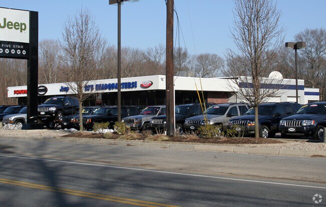
1100 Tower Hill Rd
NKIN-000071-000003
Washington
Stateproperty
Rhode Island
X
4.10 AC
44009C0112J
Washington County
0
Providence
2025
Providence-Warwick, RI-MA
050302
DEMOGRAPHICS near 1100 Tower Hill Rd
1 Mile
3 Mile
5 Mile
2024 Total Population
2,322
14,435
32,324
2029 Population
2,302
14,337
32,087
Pop Growth 2024-2029
(0.86%)
(0.68%)
(0.73%)
Average Age
45
44
44
2024 Total Households
949
5,822
12,890
HH Growth 2024-2029
(1.16%)
(0.86%)
(0.99%)
Median Household Inc
$92,719
$105,334
$100,279
Avg Household Size
2.30
2.40
2.40
2024 Avg HH Vehicles
2.00
2.00
2.00
Median Home Value
$456,343
$487,993
$465,647
Median Year Built
1960
1972
1974
Nearby Places
Map Layers
Map Styles
 Street
 Aerial
- Restaurants
- Banks
- Shops
- Fitness
- Groceries
PUBLIC TRANSPORTATION
COMMUTER RAIL
Wickford Junction (Providence/Stoughton Line - MBTA)
DRIVE
WALK
Distance
Wickford Junction (Providence/Stoughton Line - MBTA)
6 min
3.9 mi
Kingston Amtrak Station (Northeast Regional - Amtrak)
DRIVE
WALK
Distance
Kingston Amtrak Station (Northeast Regional - Amtrak)
19 min
9.4 mi
AIRPORT
Rhode Island Tf Green International
DRIVE
WALK
Distance
Rhode Island Tf Green International
27 min
17.3 mi
Freight Ports
Port of Davisville, RI
DRIVE
WALK
Distance
Port of Davisville, RI
16 min
6.8 mi
Nearby Properties
Address
Land Use
TOTAL SIZE
Lot Size
Zoning
Address
Land Use
TOTAL SIZE
Lot Size
Zoning
39.12 AC
P
Address
Land Use
TOTAL SIZE
Lot Size
Zoning
141,701 SF
12 AC
WJ
Address
Land Use
TOTAL SIZE
Lot Size
Zoning
13.28 AC
GB
Address
Land Use
TOTAL SIZE
Lot Size
Zoning
237,726 SF
3.36 AC
WJ
Address
Land Use
TOTAL SIZE
Lot Size
Zoning
15.50 AC
PVD
Address
Land Use
TOTAL SIZE
Lot Size
Zoning
62,949 SF
12.28 AC
P
Address
Land Use
TOTAL SIZE
Lot Size
Zoning
48,661 SF
7.08 AC
P
Address
Land Use
TOTAL SIZE
Lot Size
Zoning
41,456 SF
5.08 AC
PR
Address
Land Use
TOTAL SIZE
Lot Size
Zoning
49.89 AC
OS/P
Address
Land Use
TOTAL SIZE
Lot Size
Zoning
5.60 AC
WB
Address
Land Use
TOTAL SIZE
Lot Size
Zoning
120 AC
LI
Address
Land Use
TOTAL SIZE
Lot Size
Zoning
2.98 AC
WB
Address
Land Use
TOTAL SIZE
Lot Size
Zoning
5.49 AC
P
Address
Land Use
TOTAL SIZE
Lot Size
Zoning
39,060 SF
8.71 AC
RR
Address
Land Use
TOTAL SIZE
Lot Size
Zoning
Address
Land Use
TOTAL SIZE
Lot Size
Zoning
17,595 SF
6.62 AC
P
Address
Land Use
TOTAL SIZE
Lot Size
Zoning
82,500 SF
Address
Land Use
TOTAL SIZE
Lot Size
Zoning
1.21 AC
NR
Address
Land Use
TOTAL SIZE
Lot Size
Zoning
Address
Land Use
TOTAL SIZE
Lot Size
Zoning
95.74 AC
OS
Address
Land Use
TOTAL SIZE
Lot Size
Zoning
34.59 AC
GB
Address
Land Use
TOTAL SIZE
Lot Size
Zoning
23,408 SF
2.30 AC
WJ
Address
Land Use
TOTAL SIZE
Lot Size
Zoning
50,559 SF
PBD
Address
Land Use
TOTAL SIZE
Lot Size
Zoning
30,043 SF
4.48 AC
NB
Address
Land Use
TOTAL SIZE
Lot Size
Zoning
3.76 AC
NR
Address
Land Use
TOTAL SIZE
Lot Size
Zoning
29,108 SF
21.66 AC
RR
Address
Land Use
TOTAL SIZE
Lot Size
Zoning
39,864 SF
4.61 AC
QBPD
Address
Land Use
TOTAL SIZE
Lot Size
Zoning
145.66 AC
RR
Address
Land Use
TOTAL SIZE
Lot Size
Zoning
35,100 SF
4.08 AC
QBPD
Address
Land Use
TOTAL SIZE
Lot Size
Zoning
43,168 SF
7.35 AC
LI
The World's #1 Commercial Real Estate Marketplace
Connect with us
© 2025 CoStar Group
The information above has been obtained from sources believed reliable. While we do not doubt its accuracy we have not verified it and make no guarantee, warranty or representation about it. It is your responsibility to independently confirm its accuracy and completeness. Any projections, opinions, assumptions, or estimates used are for example only and do not represent the current or future performance of the property. The value of this transaction to you depends on tax and other factors which should be evaluated by your tax, financial, and legal advisors. You and your advisors should conduct a careful, independent investigation of the property to determine to your satisfaction the suitability of the property for your needs.