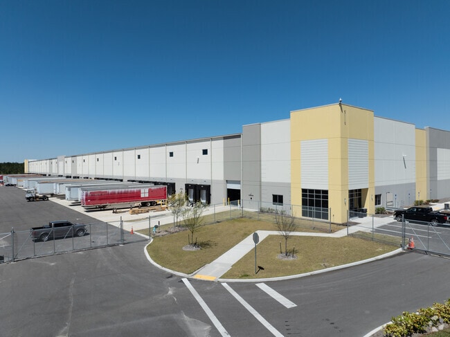
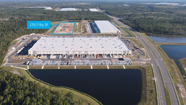
Property Record
11006 Development Way, Jacksonville, FL 32220

Property Detail
11006 Development Way
004625-0015
06-2S-25E 43.21 PT W 1/2 RECD O/R 21042-443
Warehouse
DUVAL
PUD
Florida
2025
43.21 AC
2026
West Side
010602
Jacksonville (Florida)
421,500 SF
Jacksonville, FL
NEARBY LISTINGS FOR SALE OR LEASE
DEMOGRAPHICS near 11006 Development Way
1 mile
3 mile
5 mile
2025 Total Population
18
9,283
37,482
2030 Population
20
10,010
40,211
Pop Growth 2025-2030
+ 11.11%
+ 7.83%
+ 7.28%
Average Age
42
41
40
2025 Total Households
7
3,473
13,525
HH Growth 2025-2030
+ 14.29%
+ 8.09%
+ 7.51%
Median Household Inc
$112,500
$91,883
$84,434
Avg Household Size
2.10
2.70
2.70
2025 Avg HH Vehicles
2.00
2.00
2.00
Median Home Value
$350,000
$324,142
$316,994
Median Year Built
1999
1997
1998
Nearby Places
Map Layers
Map Styles
 Street
 Aerial
Transit
 Traffic
 Biking
Places
Listings with unknown addresses are not visible on the map
- Restaurants
- Banks
- Shops
- Fitness
- Groceries
PUBLIC TRANSPORTATION
AIRPORT
Jacksonville International
Drive
Walk
Distance
Jacksonville International
33 min
19.3 mi
Freight Ports
Jacksonville Port
Drive
Walk
Distance
Jacksonville Port
29 min
18.9 mi
SALE & LEASE HISTORY
LISTING DATE
SALE/LEASE

Nov 19, 2021
For Lease
Nearby Properties
Address
Land Use
TOTAL SIZE
Lot Size
Zoning
Address
Land Use
TOTAL SIZE
Lot Size
Zoning
1,013,036 SF
51.67 AC
PUD
Address
Land Use
TOTAL SIZE
Lot Size
Zoning
773,806 SF
68.14 AC
PUD
Address
Land Use
TOTAL SIZE
Lot Size
Zoning
548,235 SF
64.22 AC
PUD
Address
Land Use
TOTAL SIZE
Lot Size
Zoning
491,247 SF
30.77 AC
PUD
Address
Land Use
TOTAL SIZE
Lot Size
Zoning
457,353 SF
250.89 AC
PUD
Address
Land Use
TOTAL SIZE
Lot Size
Zoning
435,150 SF
21.92 AC
PUD
Address
Land Use
TOTAL SIZE
Lot Size
Zoning
496,042 SF
120 AC
PUD
Address
Land Use
TOTAL SIZE
Lot Size
Zoning
401,680 SF
39.78 AC
PUD
Address
Land Use
TOTAL SIZE
Lot Size
Zoning
343,650 SF
9.45 AC
PUD
Address
Land Use
TOTAL SIZE
Lot Size
Zoning
267,204 SF
25.05 AC
PUD
Address
Land Use
TOTAL SIZE
Lot Size
Zoning
307,322 SF
19.31 AC
PUD
Address
Land Use
TOTAL SIZE
Lot Size
Zoning
273,608 SF
23.15 AC
PUD
Address
Land Use
TOTAL SIZE
Lot Size
Zoning
270,762 SF
39.15 AC
PUD
Address
Land Use
TOTAL SIZE
Lot Size
Zoning
509,686 SF
43.32 AC
IL
Address
Land Use
TOTAL SIZE
Lot Size
Zoning
235,950 SF
18.10 AC
PUD
Address
Land Use
TOTAL SIZE
Lot Size
Zoning
1,265.67 AC
PUD
Address
Land Use
TOTAL SIZE
Lot Size
Zoning
187,242 SF
18.73 AC
PUD
Address
Land Use
TOTAL SIZE
Lot Size
Zoning
244,454 SF
11.66 AC
PUD
Address
Land Use
TOTAL SIZE
Lot Size
Zoning
167,992 SF
12.63 AC
PUD
Address
Land Use
TOTAL SIZE
Lot Size
Zoning
878.69 AC
PUD
Address
Land Use
TOTAL SIZE
Lot Size
Zoning
160,778 SF
25.46 AC
IL
Address
Land Use
TOTAL SIZE
Lot Size
Zoning
128,566 SF
50.24 AC
PUD
Address
Land Use
TOTAL SIZE
Lot Size
Zoning
307.14 AC
PUD
Address
Land Use
TOTAL SIZE
Lot Size
Zoning
132,262 SF
58.93 AC
PUD
Address
Land Use
TOTAL SIZE
Lot Size
Zoning
46.49 AC
PUD
Address
Land Use
TOTAL SIZE
Lot Size
Zoning
76,718 SF
8.89 AC
RR-ACRE
Address
Land Use
TOTAL SIZE
Lot Size
Zoning
54.49 AC
PUD
Address
Land Use
TOTAL SIZE
Lot Size
Zoning
29.49 AC
PUD
Address
Land Use
TOTAL SIZE
Lot Size
Zoning
165,130 SF
33.09 AC
PUD
The World's #1 Commercial Real Estate Marketplace
Connect with us
© 2026 CoStar Group
The information above has been obtained from sources believed reliable. While we do not doubt its accuracy we have not verified it and make no guarantee, warranty or representation about it. It is your responsibility to independently confirm its accuracy and completeness. Any projections, opinions, assumptions, or estimates used are for example only and do not represent the current or future performance of the property. The value of this transaction to you depends on tax and other factors which should be evaluated by your tax, financial, and legal advisors. You and your advisors should conduct a careful, independent investigation of the property to determine to your satisfaction the suitability of the property for your needs.