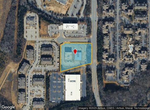
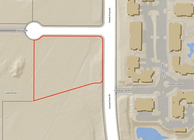
Property Record
11008 Ingleside Pl, Raleigh, NC 27614
NEARBY LISTINGS FOR SALE OR LEASE
Property Detail
11008 Ingleside Pl
Raleigh, NC
The Square
1830.03-41-2237-000
LO6 THE SQUARE AT WAKEFIELD ROW BM2023-0
Apartment
Wake
X
North Carolina
3720183000K
6
2025
2.87 AC
2025
Route 1
054212
Raleigh/Durham
51,028 SF
DEMOGRAPHICS near 11008 Ingleside Pl
1 Mile
3 Mile
5 Mile
2024 Total Population
9,198
51,972
127,362
2029 Population
9,917
56,440
139,036
Pop Growth 2024-2029
+ 7.82%
+ 8.60%
+ 9.17%
Average Age
39
40
39
2024 Total Households
3,804
19,913
46,628
HH Growth 2024-2029
+ 7.86%
+ 8.61%
+ 9.13%
Median Household Inc
$89,490
$109,144
$108,742
Avg Household Size
2.40
2.60
2.70
2024 Avg HH Vehicles
2.00
2.00
2.00
Median Home Value
$385,535
$390,330
$385,670
Median Year Built
2005
2004
2004
Nearby Places
- Restaurants
- Banks
- Shops
- Fitness
- Groceries
PUBLIC TRANSPORTATION
AIRPORT
Raleigh-Durham International
DRIVE
WALK
Distance
Raleigh-Durham International
27 min
18.3 mi
Freight Ports
Virginia Port Authority - Richmond
DRIVE
WALK
Distance
Virginia Port Authority - Richmond
163 min
136.6 mi
Nearby Properties
Address
Land Use
TOTAL SIZE
Lot Size
Zoning
Address
Land Use
TOTAL SIZE
Lot Size
Zoning
7,128 SF
17,955.26 AC
R-80W
Address
Land Use
TOTAL SIZE
Lot Size
Zoning
497,619 SF
109.80 AC
R-6
Address
Land Use
TOTAL SIZE
Lot Size
Zoning
1,125,127 SF
104.26 AC
R-1
Address
Land Use
TOTAL SIZE
Lot Size
Zoning
378,421 SF
19.06 AC
RMX
Address
Land Use
TOTAL SIZE
Lot Size
Zoning
283,870 SF
11.39 AC
RMX
Address
Land Use
TOTAL SIZE
Lot Size
Zoning
362,583 SF
26.53 AC
RX-3
Address
Land Use
TOTAL SIZE
Lot Size
Zoning
383,266 SF
52.30 AC
CX-3
Address
Land Use
TOTAL SIZE
Lot Size
Zoning
356,168 SF
26.68 AC
RMX
Address
Land Use
TOTAL SIZE
Lot Size
Zoning
442,480 SF
52.02 AC
GR3
Address
Land Use
TOTAL SIZE
Lot Size
Zoning
323,530 SF
37.96 AC
RX-3
Address
Land Use
TOTAL SIZE
Lot Size
Zoning
306,712 SF
14.03 AC
PUD
Address
Land Use
TOTAL SIZE
Lot Size
Zoning
263,777 SF
93.84 AC
GR3
Address
Land Use
TOTAL SIZE
Lot Size
Zoning
286,520 SF
22.55 AC
R-6
Address
Land Use
TOTAL SIZE
Lot Size
Zoning
232,734 SF
57.28 AC
GR3
Address
Land Use
TOTAL SIZE
Lot Size
Zoning
306,050 SF
30.45 AC
GR10
Address
Land Use
TOTAL SIZE
Lot Size
Zoning
194,593 SF
13.09 AC
CX-3
Address
Land Use
TOTAL SIZE
Lot Size
Zoning
188,828 SF
19.91 AC
OX-3
Address
Land Use
TOTAL SIZE
Lot Size
Zoning
243,797 SF
22.57 AC
GR10
Address
Land Use
TOTAL SIZE
Lot Size
Zoning
248,945 SF
16.41 AC
GR10
Address
Land Use
TOTAL SIZE
Lot Size
Zoning
225,390 SF
14.95 AC
GR10
Address
Land Use
TOTAL SIZE
Lot Size
Zoning
177,165 SF
9.74 AC
OX-4
Address
Land Use
TOTAL SIZE
Lot Size
Zoning
283,795 SF
31.33 AC
ICD
Address
Land Use
TOTAL SIZE
Lot Size
Zoning
162,909 SF
9.84 AC
RMX
Address
Land Use
TOTAL SIZE
Lot Size
Zoning
186,546 SF
6.84 AC
RMX
Address
Land Use
TOTAL SIZE
Lot Size
Zoning
166,192 SF
13.59 AC
GR10
Address
Land Use
TOTAL SIZE
Lot Size
Zoning
109,190 SF
1.46 AC
CX-5
Address
Land Use
TOTAL SIZE
Lot Size
Zoning
139,376 SF
4.80 AC
NX-4
Address
Land Use
TOTAL SIZE
Lot Size
Zoning
139,600 SF
23.64 AC
LI
Address
Land Use
TOTAL SIZE
Lot Size
Zoning
170,334 SF
23.99 AC
GR10
Address
Land Use
TOTAL SIZE
Lot Size
Zoning
104,919 SF
29.07 AC
GR3
The World's #1 Commercial Real Estate Marketplace
Connect with us
© 2025 CoStar Group
The information above has been obtained from sources believed reliable. While we do not doubt its accuracy we have not verified it and make no guarantee, warranty or representation about it. It is your responsibility to independently confirm its accuracy and completeness. Any projections, opinions, assumptions, or estimates used are for example only and do not represent the current or future performance of the property. The value of this transaction to you depends on tax and other factors which should be evaluated by your tax, financial, and legal advisors. You and your advisors should conduct a careful, independent investigation of the property to determine to your satisfaction the suitability of the property for your needs.