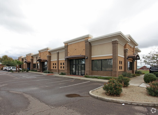
Property Record
1101 E Ash Ave, Buckeye, AZ 85326


Property Detail
1101 E Ash Ave
400-15-006H
PT N2 NW4 DAF BEG SW COR LOT 4 TH E TO PT ON E LN H/W 80 TH CONT E 290.50F NLY 124.49F W TO W LN SEC TH S TO POB EX ANY PT W/IN HWY
Municipalproperty
Maricopa
SU
Arizona
C and X Area of minimal flood hazard, usually depicted on FIRMs as above the 500-year flood level.
4
2025
0.73 AC
2025
South Buckeye
050702
Phoenix
9,500 SF
Phoenix-Mesa-Chandler, AZ
NEARBY LISTINGS FOR SALE OR LEASE
DEMOGRAPHICS near 1101 E Ash Ave
1 mile
3 mile
5 mile
2025 Total Population
5,699
30,545
54,797
2030 Population
5,952
32,538
58,136
Pop Growth 2025-2030
+ 4.44%
+ 6.52%
+ 6.09%
Average Age
37
34
35
2025 Total Households
1,907
9,082
16,371
HH Growth 2025-2030
+ 4.35%
+ 6.56%
+ 6.18%
Median Household Inc
$64,336
$86,637
$89,971
Avg Household Size
3.00
3.30
3.30
2025 Avg HH Vehicles
2.00
2.00
2.00
Median Home Value
$314,600
$360,903
$371,673
Median Year Built
1987
2007
2007
Nearby Places
Map Layers
Map Styles
 Street
 Aerial
Layers
 Traffic
 Biking
Places
Listings with unknown addresses are not visible on the map
- Restaurants
- Banks
- Shops
- Fitness
- Groceries
PUBLIC TRANSPORTATION
AIRPORT
Phoenix Sky Harbor International
Drive
Walk
Distance
Phoenix Sky Harbor International
54 min
40.3 mi
Nearby Properties
Address
Land Use
TOTAL SIZE
Lot Size
Zoning
Address
Land Use
TOTAL SIZE
Lot Size
Zoning
2,310,631 SF
215.58 AC
Address
Land Use
TOTAL SIZE
Lot Size
Zoning
1,207,360 SF
67.69 AC
Address
Land Use
TOTAL SIZE
Lot Size
Zoning
13.35 AC
Address
Land Use
TOTAL SIZE
Lot Size
Zoning
1,834,456 SF
142.44 AC
C-G
Address
Land Use
TOTAL SIZE
Lot Size
Zoning
11.14 AC
Address
Land Use
TOTAL SIZE
Lot Size
Zoning
3,494 SF
6.20 AC
GC
Address
Land Use
TOTAL SIZE
Lot Size
Zoning
510,427 SF
64.69 AC
GC
Address
Land Use
TOTAL SIZE
Lot Size
Zoning
290,752 SF
21.32 AC
SU
Address
Land Use
TOTAL SIZE
Lot Size
Zoning
174.17 AC
Address
Land Use
TOTAL SIZE
Lot Size
Zoning
78,774 SF
7.57 AC
PUD
Address
Land Use
TOTAL SIZE
Lot Size
Zoning
122,714 SF
12.27 AC
C-C
Address
Land Use
TOTAL SIZE
Lot Size
Zoning
68,255 SF
3.16 AC
PUD
Address
Land Use
TOTAL SIZE
Lot Size
Zoning
85,712 SF
15.18 AC
PR
Address
Land Use
TOTAL SIZE
Lot Size
Zoning
228,652 SF
136.91 AC
SU
Address
Land Use
TOTAL SIZE
Lot Size
Zoning
8,144 SF
39.69 AC
R-43
Address
Land Use
TOTAL SIZE
Lot Size
Zoning
60,201 SF
14.10 AC
PUD
Address
Land Use
TOTAL SIZE
Lot Size
Zoning
125,120 SF
8.49 AC
SU
Address
Land Use
TOTAL SIZE
Lot Size
Zoning
181,308 SF
20.19 AC
C-G
Address
Land Use
TOTAL SIZE
Lot Size
Zoning
20,248 SF
23.16 AC
SU
Address
Land Use
TOTAL SIZE
Lot Size
Zoning
3.10 AC
Address
Land Use
TOTAL SIZE
Lot Size
Zoning
178,939 SF
13.98 AC
CC
Address
Land Use
TOTAL SIZE
Lot Size
Zoning
150,139 SF
20.48 AC
C-G
Address
Land Use
TOTAL SIZE
Lot Size
Zoning
136,836 SF
8.85 AC
R-R
Address
Land Use
TOTAL SIZE
Lot Size
Zoning
53.11 AC
C-G
Address
Land Use
TOTAL SIZE
Lot Size
Zoning
40,859 SF
6.92 AC
PUD
Address
Land Use
TOTAL SIZE
Lot Size
Zoning
24,119 SF
5.13 AC
CC
Address
Land Use
TOTAL SIZE
Lot Size
Zoning
108,952 SF
32.46 AC
I-2
Address
Land Use
TOTAL SIZE
Lot Size
Zoning
32,567 SF
7.38 AC
PR
Address
Land Use
TOTAL SIZE
Lot Size
Zoning
16,502 SF
2.26 AC
C-C
Address
Land Use
TOTAL SIZE
Lot Size
Zoning
10,815 SF
8.06 AC
SU
The World's #1 Commercial Real Estate Marketplace
Connect with us
© 2026 CoStar Group
The information above has been obtained from sources believed reliable. While we do not doubt its accuracy we have not verified it and make no guarantee, warranty or representation about it. It is your responsibility to independently confirm its accuracy and completeness. Any projections, opinions, assumptions, or estimates used are for example only and do not represent the current or future performance of the property. The value of this transaction to you depends on tax and other factors which should be evaluated by your tax, financial, and legal advisors. You and your advisors should conduct a careful, independent investigation of the property to determine to your satisfaction the suitability of the property for your needs.