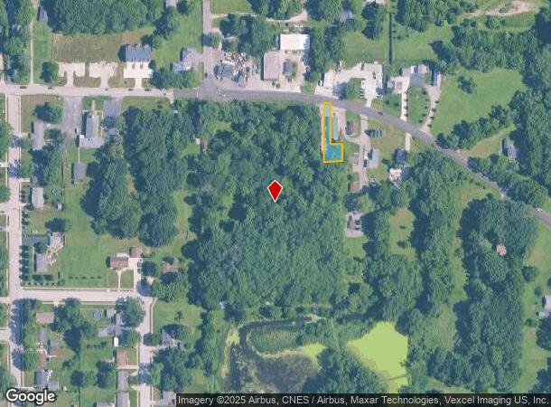
Property Record
1103 E Highway 330, Griffith, IN 46319

NEARBY LISTINGS FOR SALE OR LEASE
Property Detail
1103 E Highway 330
Chicago-Naperville-Elgin, IL-IN
PT E2 NE LYG S. OF OLD LINCOLN HWY PARCEL 60FTX193FT S.14 T.35 R.9 .153AC/M/L
45-11-14-227-002.000-032
Lake
Industrialacreage
Indiana
X
1
18089C0231E
0.15 AC
2024
Indiana
2025
Chicago
042602
DEMOGRAPHICS near 1103 E Highway 330
1 mile
3 mile
5 mile
2024 Total Population
5,132
43,404
143,736
2029 Population
5,070
43,169
143,551
Pop Growth 2024-2029
(1.21%)
(0.54%)
(0.13%)
Average Age
41
41
42
2024 Total Households
1,917
16,945
57,839
HH Growth 2024-2029
(1.20%)
(0.57%)
(0.18%)
Median Household Inc
$103,355
$82,477
$72,476
Avg Household Size
2.60
2.50
2.40
2024 Avg HH Vehicles
2.00
2.00
2.00
Median Home Value
$294,207
$238,922
$228,899
Median Year Built
1993
1978
1977
Nearby Places
Map Layers
Map Styles
 Street
 Aerial
Transit
 Traffic
 Biking
Places
Listings with unknown addresses are not visible on the map
- Restaurants
- Banks
- Shops
- Fitness
- Groceries
PUBLIC TRANSPORTATION
COMMUTER RAIL
Dyer Amtrak (Cardinal - Amtrak)
Drive
Walk
Distance
Dyer Amtrak (Cardinal - Amtrak)
16 min
7.9 mi
AIRPORT
Chicago Midway International
Drive
Walk
Distance
Chicago Midway International
58 min
35.7 mi
Freight Ports
Port Milwaukee
Drive
Walk
Distance
Port Milwaukee
158 min
119.8 mi
Nearby Properties
Address
Land Use
TOTAL SIZE
Lot Size
Zoning
Address
Land Use
TOTAL SIZE
Lot Size
Zoning
206,854 SF
8.38 AC
Address
Land Use
TOTAL SIZE
Lot Size
Zoning
289,840 SF
15.31 AC
Address
Land Use
TOTAL SIZE
Lot Size
Zoning
143,274 SF
17.90 AC
1116
Address
Land Use
TOTAL SIZE
Lot Size
Zoning
100,659 SF
3.89 AC
Address
Land Use
TOTAL SIZE
Lot Size
Zoning
132,147 SF
44.38 AC
R33
Address
Land Use
TOTAL SIZE
Lot Size
Zoning
246,302 SF
13.08 AC
Address
Land Use
TOTAL SIZE
Lot Size
Zoning
300,509 SF
84.07 AC
Address
Land Use
TOTAL SIZE
Lot Size
Zoning
116,352 SF
9 AC
Address
Land Use
TOTAL SIZE
Lot Size
Zoning
116,352 SF
8.08 AC
Address
Land Use
TOTAL SIZE
Lot Size
Zoning
45,397 SF
14.48 AC
Address
Land Use
TOTAL SIZE
Lot Size
Zoning
97,674 SF
29.16 AC
Address
Land Use
TOTAL SIZE
Lot Size
Zoning
34,116 SF
73.40 AC
Address
Land Use
TOTAL SIZE
Lot Size
Zoning
39,705 SF
23.63 AC
R33
Address
Land Use
TOTAL SIZE
Lot Size
Zoning
158,292 SF
8.20 AC
Address
Land Use
TOTAL SIZE
Lot Size
Zoning
129,320 SF
3.96 AC
Address
Land Use
TOTAL SIZE
Lot Size
Zoning
134,080 SF
10 AC
Address
Land Use
TOTAL SIZE
Lot Size
Zoning
53,024 SF
43.30 AC
Address
Land Use
TOTAL SIZE
Lot Size
Zoning
87,264 SF
7.74 AC
Address
Land Use
TOTAL SIZE
Lot Size
Zoning
68.50 AC
Address
Land Use
TOTAL SIZE
Lot Size
Zoning
156,258 SF
4.80 AC
Address
Land Use
TOTAL SIZE
Lot Size
Zoning
33,920 SF
83.34 AC
Address
Land Use
TOTAL SIZE
Lot Size
Zoning
52,896 SF
4.06 AC
R33
Address
Land Use
TOTAL SIZE
Lot Size
Zoning
123,693 SF
12.45 AC
Address
Land Use
TOTAL SIZE
Lot Size
Zoning
35,471 SF
6.90 AC
R33
Address
Land Use
TOTAL SIZE
Lot Size
Zoning
26,738 SF
4.67 AC
Address
Land Use
TOTAL SIZE
Lot Size
Zoning
59,248 SF
3.12 AC
Address
Land Use
TOTAL SIZE
Lot Size
Zoning
28,099 SF
2.48 AC
R33
Address
Land Use
TOTAL SIZE
Lot Size
Zoning
52,178 SF
5.11 AC
Address
Land Use
TOTAL SIZE
Lot Size
Zoning
116,710 SF
21.25 AC
Address
Land Use
TOTAL SIZE
Lot Size
Zoning
14,501 SF
70.85 AC
The World's #1 Commercial Real Estate Marketplace
Connect with us
© 2026 CoStar Group
The information above has been obtained from sources believed reliable. While we do not doubt its accuracy we have not verified it and make no guarantee, warranty or representation about it. It is your responsibility to independently confirm its accuracy and completeness. Any projections, opinions, assumptions, or estimates used are for example only and do not represent the current or future performance of the property. The value of this transaction to you depends on tax and other factors which should be evaluated by your tax, financial, and legal advisors. You and your advisors should conduct a careful, independent investigation of the property to determine to your satisfaction the suitability of the property for your needs.