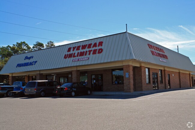
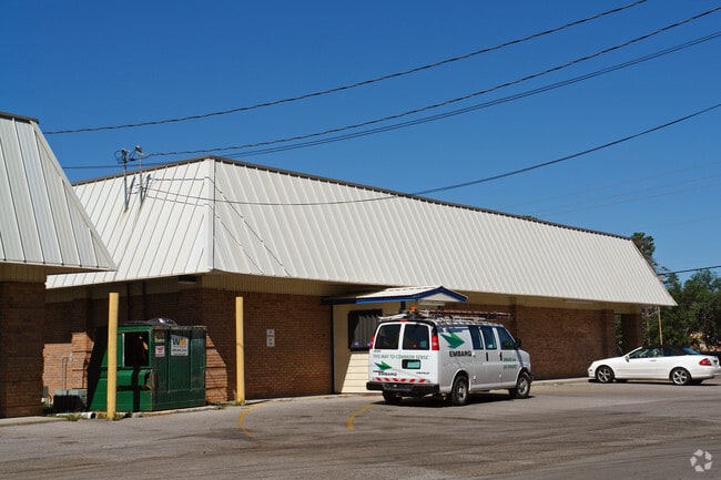
Property Record
1105 John Sims Pkwy E, Niceville, FL 32578

NEARBY LISTINGS FOR SALE OR LEASE
Property Detail
1105 John Sims Pkwy E
Crestview-Fort Walton Beach-Destin, FL
Valparaiso P/C
05-1S-22-256D-0094-0010
VALPARAISO P/C #4 LOTS 1-6, 31-38 AND THAT PART OF OLD COASTAL HWY N OF LOTS OR 530-729 & 695-848 DESCRIBE AS: BEG AT INTERSEC OF W R/W WISE AVE & S R/W HWY 20 S 390.9 FT W 300.14 FT N 243 FT N 218.6 FT TO S R/W HWY 20 S 76 DEG E 100.74 FT S 74 DEG E
Regionalshoppingcenterormallwithanchorstore
Okaloosa
X
Florida
12091C0389J
10
2023
2.98 AC
2024
Fort Walton Beach
021002
Other Market Areas
47,101 SF
DEMOGRAPHICS near 1105 John Sims Pkwy E
1 Mile
3 Mile
5 Mile
2024 Total Population
7,064
28,149
36,380
2029 Population
7,298
29,288
37,781
Pop Growth 2024-2029
+ 3.31%
+ 4.05%
+ 3.85%
Average Age
41
40
40
2024 Total Households
2,813
10,978
14,006
HH Growth 2024-2029
+ 3.23%
+ 3.96%
+ 3.76%
Median Household Inc
$79,753
$89,015
$92,512
Avg Household Size
2.50
2.50
2.50
2024 Avg HH Vehicles
2.00
2.00
2.00
Median Home Value
$339,168
$349,976
$357,645
Median Year Built
1985
1986
1987
Nearby Places
Map Layers
Map Styles
 Street
 Aerial
- Restaurants
- Banks
- Shops
- Fitness
- Groceries
PUBLIC TRANSPORTATION
AIRPORT
Eglin AFB/Destin-Ft Walton Beach
DRIVE
WALK
Distance
Eglin AFB/Destin-Ft Walton Beach
27 min
6.8 mi
Freight Ports
Port of Panama City
DRIVE
WALK
Distance
Port of Panama City
88 min
57.4 mi
Nearby Properties
Address
Land Use
TOTAL SIZE
Lot Size
Zoning
Address
Land Use
TOTAL SIZE
Lot Size
Zoning
480 AC
Address
Land Use
TOTAL SIZE
Lot Size
Zoning
766,955 SF
121.04 AC
Address
Land Use
TOTAL SIZE
Lot Size
Zoning
248,966 SF
29.88 AC
Address
Land Use
TOTAL SIZE
Lot Size
Zoning
138,251 SF
11.32 AC
Address
Land Use
TOTAL SIZE
Lot Size
Zoning
10,401 SF
7.20 AC
Address
Land Use
TOTAL SIZE
Lot Size
Zoning
75,002 SF
4.42 AC
Address
Land Use
TOTAL SIZE
Lot Size
Zoning
335.95 AC
Address
Land Use
TOTAL SIZE
Lot Size
Zoning
28,763 SF
0.23 AC
Address
Land Use
TOTAL SIZE
Lot Size
Zoning
165,059 SF
17.62 AC
Address
Land Use
TOTAL SIZE
Lot Size
Zoning
64,450 SF
10.50 AC
Address
Land Use
TOTAL SIZE
Lot Size
Zoning
56,412 SF
2.09 AC
Address
Land Use
TOTAL SIZE
Lot Size
Zoning
54,627 SF
2.05 AC
Address
Land Use
TOTAL SIZE
Lot Size
Zoning
49,417 SF
3.19 AC
Address
Land Use
TOTAL SIZE
Lot Size
Zoning
100,515 SF
15.11 AC
Address
Land Use
TOTAL SIZE
Lot Size
Zoning
105,900 SF
8.90 AC
Address
Land Use
TOTAL SIZE
Lot Size
Zoning
33,575 SF
1.67 AC
Address
Land Use
TOTAL SIZE
Lot Size
Zoning
3.90 AC
Address
Land Use
TOTAL SIZE
Lot Size
Zoning
76,262 SF
10.67 AC
Address
Land Use
TOTAL SIZE
Lot Size
Zoning
107,789 SF
10.47 AC
Address
Land Use
TOTAL SIZE
Lot Size
Zoning
21,687 SF
0.91 AC
Address
Land Use
TOTAL SIZE
Lot Size
Zoning
50,288 SF
1.46 AC
Address
Land Use
TOTAL SIZE
Lot Size
Zoning
40,261 SF
6.21 AC
Address
Land Use
TOTAL SIZE
Lot Size
Zoning
113,775 SF
19.65 AC
Address
Land Use
TOTAL SIZE
Lot Size
Zoning
84,848 SF
41.85 AC
Address
Land Use
TOTAL SIZE
Lot Size
Zoning
83,644 SF
1.39 AC
Address
Land Use
TOTAL SIZE
Lot Size
Zoning
82,203 SF
7.14 AC
Address
Land Use
TOTAL SIZE
Lot Size
Zoning
1,620 SF
128.18 AC
Address
Land Use
TOTAL SIZE
Lot Size
Zoning
19,408 SF
1.06 AC
Address
Land Use
TOTAL SIZE
Lot Size
Zoning
57,681 SF
3.22 AC
Address
Land Use
TOTAL SIZE
Lot Size
Zoning
53,693 SF
7.68 AC
The World's #1 Commercial Real Estate Marketplace
Connect with us
© 2025 CoStar Group
The information above has been obtained from sources believed reliable. While we do not doubt its accuracy we have not verified it and make no guarantee, warranty or representation about it. It is your responsibility to independently confirm its accuracy and completeness. Any projections, opinions, assumptions, or estimates used are for example only and do not represent the current or future performance of the property. The value of this transaction to you depends on tax and other factors which should be evaluated by your tax, financial, and legal advisors. You and your advisors should conduct a careful, independent investigation of the property to determine to your satisfaction the suitability of the property for your needs.