No Photo
Property Record
1105 Ridgewalk Pkwy, Woodstock, GA 30189
NEARBY LISTINGS FOR SALE OR LEASE
Property Detail
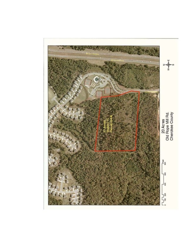
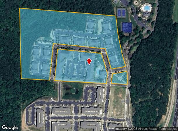
1105 Ridgewalk Pkwy
Atlanta-Sandy Springs-Roswell, GA
Rope Mille Enterprises Llc
015N10-00000-004-00A-0000
LL 782; 15TH D TR 1-3
Apartment
Cherokee
X
Georgia
13057C0244E
782
2025
18.11 AC
2025
Cherokee County
091006
Atlanta
349,911 SF
DEMOGRAPHICS near 1105 Ridgewalk Pkwy
1 Mile
3 Mile
5 Mile
2024 Total Population
6,293
62,029
159,674
2029 Population
7,192
71,219
180,646
Pop Growth 2024-2029
+ 14.29%
+ 14.82%
+ 13.13%
Average Age
38
39
40
2024 Total Households
2,455
23,042
58,618
HH Growth 2024-2029
+ 14.54%
+ 15.00%
+ 13.35%
Median Household Inc
$86,673
$94,054
$97,288
Avg Household Size
2.50
2.60
2.70
2024 Avg HH Vehicles
2.00
2.00
2.00
Median Home Value
$337,076
$357,853
$330,546
Median Year Built
2004
1998
1997
Nearby Places
Map Layers
Map Styles
 Street
 Aerial
- Restaurants
- Banks
- Shops
- Fitness
- Groceries
Nearby Properties
Address
Land Use
TOTAL SIZE
Lot Size
Zoning
Address
Land Use
TOTAL SIZE
Lot Size
Zoning
523,803 SF
148.37 AC
R-40
Address
Land Use
TOTAL SIZE
Lot Size
Zoning
228,644 SF
7.88 AC
DT-CBD
Address
Land Use
TOTAL SIZE
Lot Size
Zoning
309,011 SF
64.20 AC
PUD
Address
Land Use
TOTAL SIZE
Lot Size
Zoning
235,863 SF
18.96 AC
HDMFR
Address
Land Use
TOTAL SIZE
Lot Size
Zoning
604,056 SF
25.03 AC
R-40
Address
Land Use
TOTAL SIZE
Lot Size
Zoning
275,118 SF
21.61 AC
R-40
Address
Land Use
TOTAL SIZE
Lot Size
Zoning
181,704 SF
17.56 AC
DT-MRA
Address
Land Use
TOTAL SIZE
Lot Size
Zoning
399,085 SF
38.48 AC
LI
Address
Land Use
TOTAL SIZE
Lot Size
Zoning
157,013 SF
18.53 AC
IN-VIL
Address
Land Use
TOTAL SIZE
Lot Size
Zoning
120,084 SF
25.15 AC
LI
Address
Land Use
TOTAL SIZE
Lot Size
Zoning
188,105 SF
25.86 AC
R-5
Address
Land Use
TOTAL SIZE
Lot Size
Zoning
328,203 SF
71 AC
R-40
Address
Land Use
TOTAL SIZE
Lot Size
Zoning
346,900 SF
104.10 AC
CD
Address
Land Use
TOTAL SIZE
Lot Size
Zoning
145,195 SF
14.47 AC
R-40
Address
Land Use
TOTAL SIZE
Lot Size
Zoning
238,600 SF
21.10 AC
R-3
Address
Land Use
TOTAL SIZE
Lot Size
Zoning
91,547 SF
18.48 AC
R-3
Address
Land Use
TOTAL SIZE
Lot Size
Zoning
189,456 SF
28.35 AC
NC-TCT
Address
Land Use
TOTAL SIZE
Lot Size
Zoning
113,849 SF
7.46 AC
R-5
Address
Land Use
TOTAL SIZE
Lot Size
Zoning
186,426 SF
32.52 AC
NC-TCT
Address
Land Use
TOTAL SIZE
Lot Size
Zoning
117,247 SF
21.44 AC
PUD
Address
Land Use
TOTAL SIZE
Lot Size
Zoning
63,264 SF
8 AC
PUD
Address
Land Use
TOTAL SIZE
Lot Size
Zoning
156,752 SF
16.34 AC
NC-TCT
Address
Land Use
TOTAL SIZE
Lot Size
Zoning
2,768 SF
60 AC
PUD
Address
Land Use
TOTAL SIZE
Lot Size
Zoning
89,552 SF
14.69 AC
DT-MR
Address
Land Use
TOTAL SIZE
Lot Size
Zoning
52,703 SF
37.65 AC
LI
Address
Land Use
TOTAL SIZE
Lot Size
Zoning
77,924 SF
9.84 AC
GC
Address
Land Use
TOTAL SIZE
Lot Size
Zoning
88,795 SF
30.92 AC
DT-CI
Address
Land Use
TOTAL SIZE
Lot Size
Zoning
61,433 SF
9.52 AC
GC
Address
Land Use
TOTAL SIZE
Lot Size
Zoning
32,224 SF
2.89 AC
GC
The World's #1 Commercial Real Estate Marketplace
Connect with us
© 2025 CoStar Group
The information above has been obtained from sources believed reliable. While we do not doubt its accuracy we have not verified it and make no guarantee, warranty or representation about it. It is your responsibility to independently confirm its accuracy and completeness. Any projections, opinions, assumptions, or estimates used are for example only and do not represent the current or future performance of the property. The value of this transaction to you depends on tax and other factors which should be evaluated by your tax, financial, and legal advisors. You and your advisors should conduct a careful, independent investigation of the property to determine to your satisfaction the suitability of the property for your needs.