Property Record
1106 Harrison Ave, Cincinnati, OH 45211


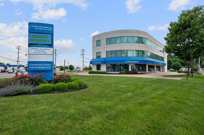
Property Detail
1106 Harrison Ave
Cincinnati, OH-KY-IN
HARRISON AVE 1.877 ACS R1-T2-S19
561-0005-0067
HAMILTON
Officebuilding
Ohio
B and X Area of moderate flood hazard, usually the area between the limits of the 100-year and 500-year floods.
1.88 AC
2025
Forest Park/West
2025
Cincinnati/Dayton
010202
NEARBY LISTINGS FOR SALE OR LEASE
-
-
View all Cincinnati listings for lease on LoopNet.com
DEMOGRAPHICS near 1106 Harrison Ave
1 mile
3 mile
5 mile
2025 Total Population
7,756
17,506
30,933
2030 Population
7,775
17,655
31,242
Pop Growth 2025-2030
+ 0.24%
+ 0.85%
+ 1.00%
Average Age
40
41
41
2025 Total Households
3,249
6,853
11,952
HH Growth 2025-2030
+ 0.25%
+ 0.79%
+ 0.94%
Median Household Inc
$71,376
$90,901
$93,316
Avg Household Size
2.40
2.50
2.60
2025 Avg HH Vehicles
2.00
2.00
2.00
Median Home Value
$196,036
$245,078
$267,215
Median Year Built
1980
1986
1989
Nearby Places
Map Layers
Map Styles
 Street
 Aerial
Layers
 Traffic
 Biking
Places
Listings with unknown addresses are not visible on the map
- Restaurants
- Banks
- Shops
- Fitness
- Groceries
PUBLIC TRANSPORTATION
AIRPORT
Cincinnati/Northern Kentucky International
Drive
Walk
Distance
Cincinnati/Northern Kentucky International
44 min
29.5 mi
Freight Ports
Port of Toledo
Drive
Walk
Distance
Port of Toledo
248 min
213.5 mi
SALE & LEASE HISTORY
LISTING DATE
SALE/LEASE

Sep 25, 2016
For Lease
Oct 16, 2017
For Sale
Jun 16, 2022
For Lease
Jan 24, 2019
For Lease
Jan 24, 2019
For Sale
Nearby Properties
Address
Land Use
TOTAL SIZE
Lot Size
Zoning
Address
Land Use
TOTAL SIZE
Lot Size
Zoning
102.29 AC
Address
Land Use
TOTAL SIZE
Lot Size
Zoning
35.80 AC
Address
Land Use
TOTAL SIZE
Lot Size
Zoning
57.20 AC
Address
Land Use
TOTAL SIZE
Lot Size
Zoning
85,849 SF
14.25 AC
Address
Land Use
TOTAL SIZE
Lot Size
Zoning
2,040 SF
27.24 AC
Address
Land Use
TOTAL SIZE
Lot Size
Zoning
22.19 AC
Address
Land Use
TOTAL SIZE
Lot Size
Zoning
15.65 AC
Address
Land Use
TOTAL SIZE
Lot Size
Zoning
Address
Land Use
TOTAL SIZE
Lot Size
Zoning
11.94 AC
Address
Land Use
TOTAL SIZE
Lot Size
Zoning
8.43 AC
Address
Land Use
TOTAL SIZE
Lot Size
Zoning
27,234 SF
12.68 AC
Address
Land Use
TOTAL SIZE
Lot Size
Zoning
20.52 AC
Address
Land Use
TOTAL SIZE
Lot Size
Zoning
10.33 AC
FPUDSPI
Address
Land Use
TOTAL SIZE
Lot Size
Zoning
2,167 SF
87.81 AC
GSPISC
Address
Land Use
TOTAL SIZE
Lot Size
Zoning
19.13 AC
Address
Land Use
TOTAL SIZE
Lot Size
Zoning
61.50 AC
H
Address
Land Use
TOTAL SIZE
Lot Size
Zoning
11.90 AC
Address
Land Use
TOTAL SIZE
Lot Size
Zoning
7.86 AC
Address
Land Use
TOTAL SIZE
Lot Size
Zoning
12.34 AC
Address
Land Use
TOTAL SIZE
Lot Size
Zoning
Address
Land Use
TOTAL SIZE
Lot Size
Zoning
Address
Land Use
TOTAL SIZE
Lot Size
Zoning
27,586 SF
8 AC
Address
Land Use
TOTAL SIZE
Lot Size
Zoning
10.49 AC
FPUDSPI
Address
Land Use
TOTAL SIZE
Lot Size
Zoning
Address
Land Use
TOTAL SIZE
Lot Size
Zoning
5,320 SF
26.52 AC
Address
Land Use
TOTAL SIZE
Lot Size
Zoning
49,011 SF
11.22 AC
H
Address
Land Use
TOTAL SIZE
Lot Size
Zoning
19.28 AC
Address
Land Use
TOTAL SIZE
Lot Size
Zoning
14.95 AC
Address
Land Use
TOTAL SIZE
Lot Size
Zoning
7.48 AC
Address
Land Use
TOTAL SIZE
Lot Size
Zoning
12,120 SF
7.47 AC
The World's #1 Commercial Real Estate Marketplace
Connect with us
© 2026 CoStar Group
The information above has been obtained from sources believed reliable. While we do not doubt its accuracy we have not verified it and make no guarantee, warranty or representation about it. It is your responsibility to independently confirm its accuracy and completeness. Any projections, opinions, assumptions, or estimates used are for example only and do not represent the current or future performance of the property. The value of this transaction to you depends on tax and other factors which should be evaluated by your tax, financial, and legal advisors. You and your advisors should conduct a careful, independent investigation of the property to determine to your satisfaction the suitability of the property for your needs.