Property Record
11070 Pflumm Rd, Lenexa, KS 66215
NEARBY LISTINGS FOR SALE OR LEASE
Property Detail
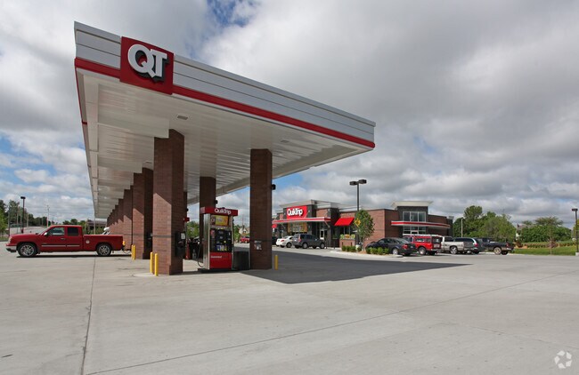
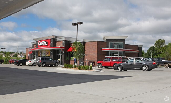
11070 Pflumm Rd
Kansas City, MO-KS
Quiktrip Store 235 First
IP62700000-0001
QUIKTRIP STORE 235 FIRST PLAT LOT - 1 LT 1 EX MINERAL RIGHTS
Storemultistory
Johnson
X
Kansas
20091C0066G
1
2024
3.86 AC
2024
College Blvd
053005
Kansas City
5,967 SF
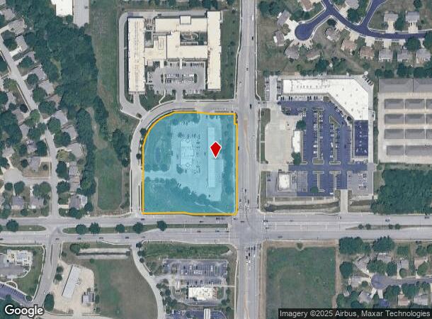
DEMOGRAPHICS near 11070 Pflumm Rd
1 Mile
3 Mile
5 Mile
2024 Total Population
9,011
81,542
240,813
2029 Population
9,348
84,716
250,504
Pop Growth 2024-2029
+ 3.74%
+ 3.89%
+ 4.02%
Average Age
45
40
40
2024 Total Households
4,370
35,102
99,808
HH Growth 2024-2029
+ 3.89%
+ 4.00%
+ 4.20%
Median Household Inc
$82,315
$85,295
$86,784
Avg Household Size
2.00
2.30
2.30
2024 Avg HH Vehicles
2.00
2.00
2.00
Median Home Value
$272,521
$292,668
$311,615
Median Year Built
1990
1987
1987
Nearby Places
Map Layers
Map Styles
 Street
 Aerial
- Restaurants
- Banks
- Shops
- Fitness
- Groceries
PUBLIC TRANSPORTATION
AIRPORT
Kansas City International
DRIVE
WALK
Distance
Kansas City International
44 min
33.9 mi
Freight Ports
Tulsa Port Of Catoosa
DRIVE
WALK
Distance
Tulsa Port Of Catoosa
251 min
224.6 mi
Nearby Properties
Address
Land Use
TOTAL SIZE
Lot Size
Zoning
Address
Land Use
TOTAL SIZE
Lot Size
Zoning
1,051,458 SF
74.32 AC
R-1
Address
Land Use
TOTAL SIZE
Lot Size
Zoning
740,953 SF
88.91 AC
RP5
Address
Land Use
TOTAL SIZE
Lot Size
Zoning
312,726 SF
13.73 AC
RP-4
Address
Land Use
TOTAL SIZE
Lot Size
Zoning
482,713 SF
77.78 AC
AG
Address
Land Use
TOTAL SIZE
Lot Size
Zoning
247,991 SF
21.19 AC
R-1
Address
Land Use
TOTAL SIZE
Lot Size
Zoning
208,693 SF
22.30 AC
BP1
Address
Land Use
TOTAL SIZE
Lot Size
Zoning
211,785 SF
35.56 AC
RP-3
Address
Land Use
TOTAL SIZE
Lot Size
Zoning
635,676 SF
30.59 AC
BP2
Address
Land Use
TOTAL SIZE
Lot Size
Zoning
564,948 SF
27.40 AC
AG
Address
Land Use
TOTAL SIZE
Lot Size
Zoning
606,171 SF
31 AC
BP2
Address
Land Use
TOTAL SIZE
Lot Size
Zoning
202,726 SF
9.37 AC
R-1
Address
Land Use
TOTAL SIZE
Lot Size
Zoning
512,680 SF
18.03 AC
R-1
Address
Land Use
TOTAL SIZE
Lot Size
Zoning
40,647 SF
7.40 AC
R-4
Address
Land Use
TOTAL SIZE
Lot Size
Zoning
189,226 SF
29.81 AC
R-1
Address
Land Use
TOTAL SIZE
Lot Size
Zoning
144,755 SF
22.19 AC
BP2
Address
Land Use
TOTAL SIZE
Lot Size
Zoning
166,039 SF
35.38 AC
R-1
Address
Land Use
TOTAL SIZE
Lot Size
Zoning
135,551 SF
12.36 AC
R-1
Address
Land Use
TOTAL SIZE
Lot Size
Zoning
404,388 SF
21.55 AC
BP2
Address
Land Use
TOTAL SIZE
Lot Size
Zoning
89,226 SF
4.37 AC
R-1
Address
Land Use
TOTAL SIZE
Lot Size
Zoning
49,029 SF
15.02 AC
BP1
Address
Land Use
TOTAL SIZE
Lot Size
Zoning
107,857 SF
10.94 AC
C-2
Address
Land Use
TOTAL SIZE
Lot Size
Zoning
62,293 SF
6.50 AC
MXD
Address
Land Use
TOTAL SIZE
Lot Size
Zoning
222,396 SF
14.76 AC
BP2
Address
Land Use
TOTAL SIZE
Lot Size
Zoning
146,832 SF
30 AC
R-1
Address
Land Use
TOTAL SIZE
Lot Size
Zoning
81,820 SF
15.16 AC
R-1
Address
Land Use
TOTAL SIZE
Lot Size
Zoning
146,143 SF
10.59 AC
CP-2
Address
Land Use
TOTAL SIZE
Lot Size
Zoning
347,324 SF
18.16 AC
BP2
Address
Land Use
TOTAL SIZE
Lot Size
Zoning
411,435 SF
17.41 AC
CP-2
Address
Land Use
TOTAL SIZE
Lot Size
Zoning
94,034 SF
6.96 AC
MXD
Address
Land Use
TOTAL SIZE
Lot Size
Zoning
114,689 SF
60.46 AC
R-1
The World's #1 Commercial Real Estate Marketplace
Connect with us
© 2025 CoStar Group
The information above has been obtained from sources believed reliable. While we do not doubt its accuracy we have not verified it and make no guarantee, warranty or representation about it. It is your responsibility to independently confirm its accuracy and completeness. Any projections, opinions, assumptions, or estimates used are for example only and do not represent the current or future performance of the property. The value of this transaction to you depends on tax and other factors which should be evaluated by your tax, financial, and legal advisors. You and your advisors should conduct a careful, independent investigation of the property to determine to your satisfaction the suitability of the property for your needs.