Property Record
1108 Moorland Rd, Madison, WI 53713


Save to a Folder
{{folder.Name}}
{{folder.ListingIds.length}} Properties
{{folder.ListingIds.length}} Property
Create a New Folder
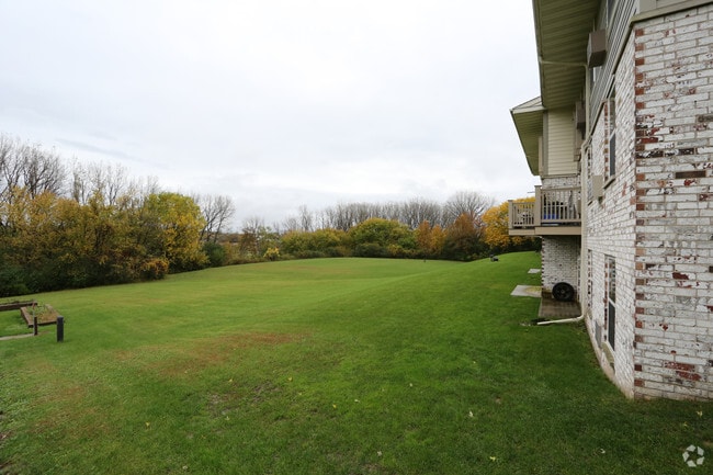
Property Detail
1108 Moorland Rd
0709-364-0097-1
NOB HILL APARTMENTS PLAT, LOT 1
Commercialnec
DANE
WP-30
Wisconsin
B and X Area of moderate flood hazard, usually the area between the limits of the 100-year and 500-year floods.
1
2025
21.31 AC
2025
Fitchburg
001502
Milwaukee/Madison
221,156 SF
Madison, WI
NEARBY LISTINGS FOR SALE OR LEASE
DEMOGRAPHICS near 1108 Moorland Rd
1 mile
3 mile
5 mile
2025 Total Population
5,863
52,373
219,332
2030 Population
6,117
54,575
233,412
Pop Growth 2025-2030
+ 4.33%
+ 4.20%
+ 6.42%
Average Age
37
36
36
2025 Total Households
2,507
25,264
96,734
HH Growth 2025-2030
+ 4.67%
+ 4.59%
+ 6.81%
Median Household Inc
$60,934
$61,924
$70,664
Avg Household Size
2.30
2.00
2.10
2025 Avg HH Vehicles
2.00
1.00
1.00
Median Home Value
$272,222
$377,285
$400,006
Median Year Built
1983
1980
1981
Nearby Places
Map Layers
Map Styles
 Street
 Aerial
Layers
 Traffic
 Biking
Places
Listings with unknown addresses are not visible on the map
- Restaurants
- Banks
- Shops
- Fitness
- Groceries
PUBLIC TRANSPORTATION
AIRPORT
Dane County Regional/Truax Field
Drive
Walk
Distance
Dane County Regional/Truax Field
20 min
9.2 mi
Freight Ports
Port Milwaukee
Drive
Walk
Distance
Port Milwaukee
99 min
82.8 mi
Nearby Properties
Address
Land Use
TOTAL SIZE
Lot Size
Zoning
Address
Land Use
TOTAL SIZE
Lot Size
Zoning
489,181 SF
1.82 AC
PD
Address
Land Use
TOTAL SIZE
Lot Size
Zoning
383,873 SF
0.99 AC
UMX
Address
Land Use
TOTAL SIZE
Lot Size
Zoning
324,916 SF
1.08 AC
PD
Address
Land Use
TOTAL SIZE
Lot Size
Zoning
374,339 SF
1.43 AC
UMX
Address
Land Use
TOTAL SIZE
Lot Size
Zoning
212,429 SF
0.66 AC
UMX
Address
Land Use
TOTAL SIZE
Lot Size
Zoning
210,515 SF
0.80 AC
UMX
Address
Land Use
TOTAL SIZE
Lot Size
Zoning
259,663 SF
414.76 AC
PD
Address
Land Use
TOTAL SIZE
Lot Size
Zoning
177,906 SF
5.49 AC
CC-T
Address
Land Use
TOTAL SIZE
Lot Size
Zoning
188,206 SF
0.80 AC
UMX
Address
Land Use
TOTAL SIZE
Lot Size
Zoning
158,832 SF
0.58 AC
WP-17
Address
Land Use
TOTAL SIZE
Lot Size
Zoning
403,079 SF
1.08 AC
WP-17
Address
Land Use
TOTAL SIZE
Lot Size
Zoning
412,945 SF
1.30 AC
WP-17
Address
Land Use
TOTAL SIZE
Lot Size
Zoning
212,259 SF
0.87 AC
UMX
Address
Land Use
TOTAL SIZE
Lot Size
Zoning
145,539 SF
0.60 AC
UMX
Address
Land Use
TOTAL SIZE
Lot Size
Zoning
174,113 SF
2.71 AC
PD
Address
Land Use
TOTAL SIZE
Lot Size
Zoning
202,376 SF
1.59 AC
PD
Address
Land Use
TOTAL SIZE
Lot Size
Zoning
230,007 SF
0.76 AC
PD
Address
Land Use
TOTAL SIZE
Lot Size
Zoning
14.47 AC
Address
Land Use
TOTAL SIZE
Lot Size
Zoning
135,478 SF
0.41 AC
UMX
Address
Land Use
TOTAL SIZE
Lot Size
Zoning
2.97 AC
Address
Land Use
TOTAL SIZE
Lot Size
Zoning
104,936 SF
1.19 AC
PD
Address
Land Use
TOTAL SIZE
Lot Size
Zoning
425,812 SF
1 AC
WP-17
Address
Land Use
TOTAL SIZE
Lot Size
Zoning
6.30 AC
Address
Land Use
TOTAL SIZE
Lot Size
Zoning
269,098 SF
0.98 AC
DC
Address
Land Use
TOTAL SIZE
Lot Size
Zoning
404,794 SF
4.86 AC
CC-T
Address
Land Use
TOTAL SIZE
Lot Size
Zoning
2.86 AC
Address
Land Use
TOTAL SIZE
Lot Size
Zoning
3.21 AC
Address
Land Use
TOTAL SIZE
Lot Size
Zoning
133,248 SF
0.50 AC
PD
Address
Land Use
TOTAL SIZE
Lot Size
Zoning
13.40 AC
Address
Land Use
TOTAL SIZE
Lot Size
Zoning
137,835 SF
1.49 AC
WP-17
The World's #1 Commercial Real Estate Marketplace
Connect with us
© 2026 CoStar Group
The information above has been obtained from sources believed reliable. While we do not doubt its accuracy we have not verified it and make no guarantee, warranty or representation about it. It is your responsibility to independently confirm its accuracy and completeness. Any projections, opinions, assumptions, or estimates used are for example only and do not represent the current or future performance of the property. The value of this transaction to you depends on tax and other factors which should be evaluated by your tax, financial, and legal advisors. You and your advisors should conduct a careful, independent investigation of the property to determine to your satisfaction the suitability of the property for your needs.