Property Record
1108 N 3Rd Ave, Marshalltown, IA 50158

NEARBY LISTINGS FOR SALE OR LEASE
-
-
View all Marshalltown listings for sale on LoopNet.com
Property Detail
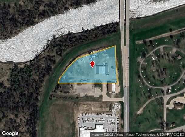
1108 N 3Rd Ave
8418-23-452-004
Norris Add
Lightindustrial
LOT 2/2 EX S 150' THEREOF & LOT 3/1/2/1/1 EX S 150' THEREOF ALL IN SW SE
X
Marshall
19127C0160C
Iowa
2025
2/2
2025
3.16 AC
950500
Other Market Areas
7,950 SF
Marshalltown, IA
DEMOGRAPHICS near 1108 N 3Rd Ave
1 Mile
3 Mile
5 Mile
2024 Total Population
4,685
22,818
28,959
2029 Population
4,725
22,698
28,764
Pop Growth 2024-2029
+ 0.85%
(0.53%)
(0.67%)
Average Age
36
38
39
2024 Total Households
1,729
8,378
10,895
HH Growth 2024-2029
+ 0.87%
(0.55%)
(0.71%)
Median Household Inc
$48,279
$57,651
$60,343
Avg Household Size
2.50
2.50
2.50
2024 Avg HH Vehicles
2.00
2.00
2.00
Median Home Value
$59,379
$93,751
$108,185
Median Year Built
1948
1953
1957
Nearby Places
Map Layers
Map Styles
 Street
 Aerial
- Restaurants
- Banks
- Shops
- Fitness
- Groceries
SALE & LEASE HISTORY
LISTING DATE
SALE/LEASE

Sep 24, 2016
For Sale
Nearby Properties
Address
Land Use
TOTAL SIZE
Lot Size
Zoning
Address
Land Use
TOTAL SIZE
Lot Size
Zoning
2,220 SF
14.83 AC
M1
Address
Land Use
TOTAL SIZE
Lot Size
Zoning
936,185 SF
40.27 AC
M2
Address
Land Use
TOTAL SIZE
Lot Size
Zoning
157.52 AC
R2
Address
Land Use
TOTAL SIZE
Lot Size
Zoning
234,288 SF
50.35 AC
R2
Address
Land Use
TOTAL SIZE
Lot Size
Zoning
240,519 SF
6.64 AC
M2
Address
Land Use
TOTAL SIZE
Lot Size
Zoning
273 SF
19.07 AC
M2
Address
Land Use
TOTAL SIZE
Lot Size
Zoning
72,270 SF
69.27 AC
M2
Address
Land Use
TOTAL SIZE
Lot Size
Zoning
9,404 SF
9.64 AC
Address
Land Use
TOTAL SIZE
Lot Size
Zoning
54,958 SF
Address
Land Use
TOTAL SIZE
Lot Size
Zoning
72,270 SF
Address
Land Use
TOTAL SIZE
Lot Size
Zoning
138,437 SF
3.66 AC
PUD
Address
Land Use
TOTAL SIZE
Lot Size
Zoning
31,698 SF
17.40 AC
R2A
Address
Land Use
TOTAL SIZE
Lot Size
Zoning
71,822 SF
8.58 AC
CC
Address
Land Use
TOTAL SIZE
Lot Size
Zoning
108,735 SF
2.42 AC
Address
Land Use
TOTAL SIZE
Lot Size
Zoning
76,696 SF
6.09 AC
R3
Address
Land Use
TOTAL SIZE
Lot Size
Zoning
33,676 SF
3.12 AC
R4
Address
Land Use
TOTAL SIZE
Lot Size
Zoning
7,776 SF
7.89 AC
Address
Land Use
TOTAL SIZE
Lot Size
Zoning
32,845 SF
6.70 AC
Address
Land Use
TOTAL SIZE
Lot Size
Zoning
9,275 SF
7.08 AC
Address
Land Use
TOTAL SIZE
Lot Size
Zoning
3,400 SF
26.06 AC
R2
Address
Land Use
TOTAL SIZE
Lot Size
Zoning
218,434 SF
9.96 AC
M1
Address
Land Use
TOTAL SIZE
Lot Size
Zoning
98,048 SF
6.82 AC
Address
Land Use
TOTAL SIZE
Lot Size
Zoning
73,648 SF
2.35 AC
OP
Address
Land Use
TOTAL SIZE
Lot Size
Zoning
102,153 SF
2.30 AC
CBD
Address
Land Use
TOTAL SIZE
Lot Size
Zoning
300,734 SF
11.07 AC
M2
Address
Land Use
TOTAL SIZE
Lot Size
Zoning
25,423 SF
6.44 AC
CC
Address
Land Use
TOTAL SIZE
Lot Size
Zoning
57,530 SF
8.36 AC
M2
Address
Land Use
TOTAL SIZE
Lot Size
Zoning
52,877 SF
4.25 AC
R2
Address
Land Use
TOTAL SIZE
Lot Size
Zoning
43,856 SF
6.25 AC
The World's #1 Commercial Real Estate Marketplace
Connect with us
© 2026 CoStar Group
The information above has been obtained from sources believed reliable. While we do not doubt its accuracy we have not verified it and make no guarantee, warranty or representation about it. It is your responsibility to independently confirm its accuracy and completeness. Any projections, opinions, assumptions, or estimates used are for example only and do not represent the current or future performance of the property. The value of this transaction to you depends on tax and other factors which should be evaluated by your tax, financial, and legal advisors. You and your advisors should conduct a careful, independent investigation of the property to determine to your satisfaction the suitability of the property for your needs.