Property Record
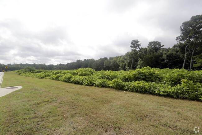
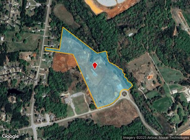
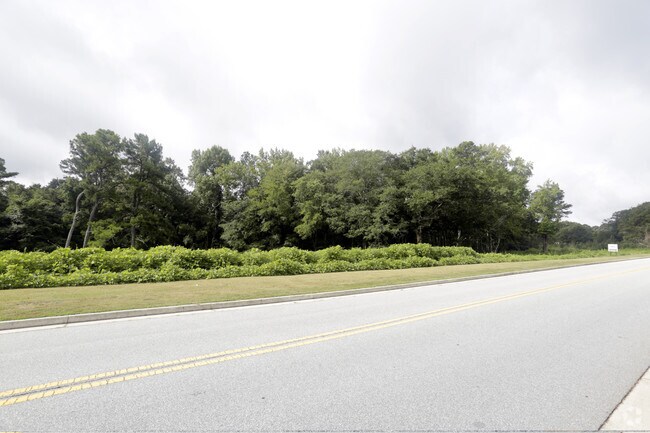
Highway 81, Loganville, GA 30052
NEARBY LISTINGS FOR SALE OR LEASE
Property Detail
Highway 81
Atlanta-Sandy Springs-Roswell, GA
Gerald Smith Prop 05
C053000000205000
TR#1A 24.10AC
Agriculturalland
Walton
A
Georgia
13297C0125E
166
2024
24.10 AC
2024
Walton County
110509
Atlanta
DEMOGRAPHICS near Highway 81
1 Mile
3 Mile
5 Mile
2024 Total Population
1,671
11,773
28,259
2029 Population
1,926
13,538
32,351
Pop Growth 2024-2029
+ 15.26%
+ 14.99%
+ 14.48%
Average Age
39
40
41
2024 Total Households
557
3,968
9,639
HH Growth 2024-2029
+ 15.44%
+ 15.30%
+ 14.75%
Median Household Inc
$73,955
$73,080
$84,481
Avg Household Size
3.00
2.90
2.90
2024 Avg HH Vehicles
2.00
3.00
3.00
Median Home Value
$234,239
$240,905
$274,671
Median Year Built
1996
1996
1996
Nearby Places
Map Layers
Map Styles
 Street
 Aerial
- Restaurants
- Banks
- Shops
- Fitness
- Groceries
SALE & LEASE HISTORY
LISTING DATE
SALE/LEASE

Aug 17, 2017
For Sale
Nearby Properties
Address
Land Use
TOTAL SIZE
Lot Size
Zoning
Address
Land Use
TOTAL SIZE
Lot Size
Zoning
235,653 SF
103.54 AC
GPU
Address
Land Use
TOTAL SIZE
Lot Size
Zoning
148,320 SF
35.90 AC
A1
Address
Land Use
TOTAL SIZE
Lot Size
Zoning
95,842 SF
25.91 AC
A1
Address
Land Use
TOTAL SIZE
Lot Size
Zoning
56,491 SF
33.95 AC
A1 WP2
Address
Land Use
TOTAL SIZE
Lot Size
Zoning
31,464 SF
6.10 AC
B3
Address
Land Use
TOTAL SIZE
Lot Size
Zoning
2,646 SF
21.85 AC
A1 A2 WP2
Address
Land Use
TOTAL SIZE
Lot Size
Zoning
15,718 SF
45.40 AC
A1 WP2
Address
Land Use
TOTAL SIZE
Lot Size
Zoning
26,400 SF
10.96 AC
B2
Address
Land Use
TOTAL SIZE
Lot Size
Zoning
37.27 AC
MHP
Address
Land Use
TOTAL SIZE
Lot Size
Zoning
2,800 SF
6.14 AC
M1
Address
Land Use
TOTAL SIZE
Lot Size
Zoning
220.19 AC
A1
Address
Land Use
TOTAL SIZE
Lot Size
Zoning
38,400 SF
27.76 AC
C2 WP2
Address
Land Use
TOTAL SIZE
Lot Size
Zoning
3,300 SF
6.35 AC
GPU
Address
Land Use
TOTAL SIZE
Lot Size
Zoning
181.22 AC
A1 WP2
Address
Land Use
TOTAL SIZE
Lot Size
Zoning
5,100 SF
2.14 AC
B2
Address
Land Use
TOTAL SIZE
Lot Size
Zoning
170.63 AC
R1 WP2
Address
Land Use
TOTAL SIZE
Lot Size
Zoning
3,200 SF
16.05 AC
I1
Address
Land Use
TOTAL SIZE
Lot Size
Zoning
25,804 SF
12.15 AC
M1
Address
Land Use
TOTAL SIZE
Lot Size
Zoning
2,000 SF
12.10 AC
I1
Address
Land Use
TOTAL SIZE
Lot Size
Zoning
8,858 SF
12.48 AC
A1
Address
Land Use
TOTAL SIZE
Lot Size
Zoning
136.32 AC
A1
Address
Land Use
TOTAL SIZE
Lot Size
Zoning
7,140 SF
3.24 AC
C1 WP2
Address
Land Use
TOTAL SIZE
Lot Size
Zoning
12,602 SF
4.08 AC
C1 WP2
Address
Land Use
TOTAL SIZE
Lot Size
Zoning
6,000 SF
3.79 AC
B3
Address
Land Use
TOTAL SIZE
Lot Size
Zoning
10,200 SF
17.56 AC
A1
Address
Land Use
TOTAL SIZE
Lot Size
Zoning
112.19 AC
A1 R1 WP2
Address
Land Use
TOTAL SIZE
Lot Size
Zoning
131.40 AC
A1 WP2
Address
Land Use
TOTAL SIZE
Lot Size
Zoning
9,205 SF
2 AC
B2
Address
Land Use
TOTAL SIZE
Lot Size
Zoning
99.77 AC
A1 WP2
Address
Land Use
TOTAL SIZE
Lot Size
Zoning
9,432 SF
1.41 AC
B3
The World's #1 Commercial Real Estate Marketplace
Connect with us
© 2026 CoStar Group
The information above has been obtained from sources believed reliable. While we do not doubt its accuracy we have not verified it and make no guarantee, warranty or representation about it. It is your responsibility to independently confirm its accuracy and completeness. Any projections, opinions, assumptions, or estimates used are for example only and do not represent the current or future performance of the property. The value of this transaction to you depends on tax and other factors which should be evaluated by your tax, financial, and legal advisors. You and your advisors should conduct a careful, independent investigation of the property to determine to your satisfaction the suitability of the property for your needs.