Property Record
11085 N Pine Dr, Parker, CO 80138

Property Detail
11085 N Pine Dr
Denver-Aurora-Centennial, CO
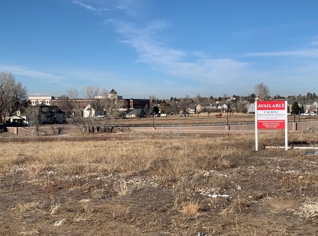
LOT 1 BLOCK 2 PARKER TOWN CENTER 2 AMENDMENT 1 4.988 AM/L
2233-221-11-008
DOUGLAS
Apartment
Colorado
AE The base floodplain where base flood elevations are provided. AE Zones are now used on new format FIRMs instead of A1-A30 Zones.
1
2024
4.99 AC
2025
Parker/Castle Rock
013904
Denver
246,081 SF
NEARBY LISTINGS FOR SALE OR LEASE
DEMOGRAPHICS near 11085 N Pine Dr
1 mile
3 mile
5 mile
2025 Total Population
11,588
67,055
124,313
2030 Population
12,463
71,924
133,697
Pop Growth 2025-2030
+ 7.55%
+ 7.26%
+ 7.55%
Average Age
38
38
39
2025 Total Households
4,397
23,833
44,590
HH Growth 2025-2030
+ 7.96%
+ 7.59%
+ 7.69%
Median Household Inc
$108,473
$127,218
$137,435
Avg Household Size
2.50
2.80
2.70
2025 Avg HH Vehicles
2.00
2.00
2.00
Median Home Value
$678,571
$713,940
$726,684
Median Year Built
1995
2001
2004
Nearby Places
Map Layers
Map Styles
 Street
 Aerial
Transit
 Traffic
 Biking
Places
Listings with unknown addresses are not visible on the map
- Restaurants
- Banks
- Shops
- Fitness
- Groceries
PUBLIC TRANSPORTATION
AIRPORT
Denver International
Drive
Walk
Distance
Denver International
36 min
30.9 mi
Freight Ports
Tulsa Port Of Catoosa
Drive
Walk
Distance
Tulsa Port Of Catoosa
728 min
710.8 mi
SALE & LEASE HISTORY
LISTING DATE
SALE/LEASE

Nov 15, 2018
For Sale
Nearby Properties
Address
Land Use
TOTAL SIZE
Lot Size
Zoning
Address
Land Use
TOTAL SIZE
Lot Size
Zoning
381,657 SF
33.84 AC
Address
Land Use
TOTAL SIZE
Lot Size
Zoning
234,588 SF
46.71 AC
A1
Address
Land Use
TOTAL SIZE
Lot Size
Zoning
93,100 SF
8.78 AC
Address
Land Use
TOTAL SIZE
Lot Size
Zoning
132,400 SF
26.15 AC
Address
Land Use
TOTAL SIZE
Lot Size
Zoning
132,601 SF
16.08 AC
Address
Land Use
TOTAL SIZE
Lot Size
Zoning
343,018 SF
15.13 AC
Address
Land Use
TOTAL SIZE
Lot Size
Zoning
344,128 SF
19.06 AC
Address
Land Use
TOTAL SIZE
Lot Size
Zoning
455,049 SF
16.96 AC
Address
Land Use
TOTAL SIZE
Lot Size
Zoning
53,500 SF
6 AC
Address
Land Use
TOTAL SIZE
Lot Size
Zoning
442,567 SF
16.91 AC
Address
Land Use
TOTAL SIZE
Lot Size
Zoning
453,901 SF
16.34 AC
Address
Land Use
TOTAL SIZE
Lot Size
Zoning
445,938 SF
19.85 AC
Address
Land Use
TOTAL SIZE
Lot Size
Zoning
93,100 SF
8.95 AC
Address
Land Use
TOTAL SIZE
Lot Size
Zoning
132,601 SF
16.05 AC
Address
Land Use
TOTAL SIZE
Lot Size
Zoning
375,171 SF
12.88 AC
Address
Land Use
TOTAL SIZE
Lot Size
Zoning
88,280 SF
34.08 AC
A1
Address
Land Use
TOTAL SIZE
Lot Size
Zoning
514,882 SF
18.63 AC
Address
Land Use
TOTAL SIZE
Lot Size
Zoning
389,337 SF
22.01 AC
Address
Land Use
TOTAL SIZE
Lot Size
Zoning
72,346 SF
8.02 AC
Address
Land Use
TOTAL SIZE
Lot Size
Zoning
138,348 SF
14.96 AC
RR
Address
Land Use
TOTAL SIZE
Lot Size
Zoning
117,593 SF
37.91 AC
A1
Address
Land Use
TOTAL SIZE
Lot Size
Zoning
74,804 SF
Address
Land Use
TOTAL SIZE
Lot Size
Zoning
369,624 SF
21.98 AC
Address
Land Use
TOTAL SIZE
Lot Size
Zoning
307,904 SF
15.72 AC
Address
Land Use
TOTAL SIZE
Lot Size
Zoning
122,154 SF
13.90 AC
Address
Land Use
TOTAL SIZE
Lot Size
Zoning
88,438 SF
13.72 AC
Address
Land Use
TOTAL SIZE
Lot Size
Zoning
79,907 SF
7.52 AC
Address
Land Use
TOTAL SIZE
Lot Size
Zoning
60,000 SF
9.04 AC
Address
Land Use
TOTAL SIZE
Lot Size
Zoning
73,146 SF
6.91 AC
Address
Land Use
TOTAL SIZE
Lot Size
Zoning
302,161 SF
11.02 AC
The World's #1 Commercial Real Estate Marketplace
Connect with us
© 2026 CoStar Group
The information above has been obtained from sources believed reliable. While we do not doubt its accuracy we have not verified it and make no guarantee, warranty or representation about it. It is your responsibility to independently confirm its accuracy and completeness. Any projections, opinions, assumptions, or estimates used are for example only and do not represent the current or future performance of the property. The value of this transaction to you depends on tax and other factors which should be evaluated by your tax, financial, and legal advisors. You and your advisors should conduct a careful, independent investigation of the property to determine to your satisfaction the suitability of the property for your needs.