Property Record
11088 52Nd Ave, Allendale, MI 49401


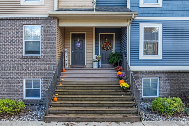
Property Detail
11088 52Nd Ave
70-09-25-200-063
PART OF NE 1/4 COM S 666 FT M/L FROM N 1/4 COR, TH S 184 FT M/L, E 390 FT, N 150 FT, E 210 FT, N 46D 07M 44S E 14213 FT, W
Multifamilydwelling
Ottawa
AE The base floodplain where base flood elevations are provided. AE Zones are now used on new format FIRMs instead of A1-A30 Zones.
Michigan
2025
2.74 AC
2025
Allendale/Olive/Port Sheldon
024401
West Michigan
35,210 SF
Grand Rapids-Wyoming-Kentwood, MI
NEARBY LISTINGS FOR SALE OR LEASE
-
-
View all Allendale listings for sale on LoopNet.com
DEMOGRAPHICS near 11088 52Nd Ave
1 mile
3 mile
5 mile
2025 Total Population
12,313
30,168
48,770
2030 Population
12,887
31,343
50,567
Pop Growth 2025-2030
+ 4.66%
+ 3.89%
+ 3.68%
Average Age
28
30
32
2025 Total Households
4,385
9,473
15,475
HH Growth 2025-2030
+ 4.83%
+ 4.55%
+ 4.16%
Median Household Inc
$54,725
$63,001
$78,713
Avg Household Size
2.70
2.70
2.80
2025 Avg HH Vehicles
3.00
3.00
3.00
Median Home Value
$283,640
$321,620
$355,993
Median Year Built
2006
2001
1999
Nearby Places
Map Layers
Map Styles
 Street
 Aerial
Layers
 Traffic
 Biking
Places
Listings with unknown addresses are not visible on the map
- Restaurants
- Banks
- Shops
- Fitness
- Groceries
PUBLIC TRANSPORTATION
AIRPORT
Gerald R Ford International
Drive
Walk
Distance
Gerald R Ford International
42 min
27.4 mi
Freight Ports
Port Milwaukee
Drive
Walk
Distance
Port Milwaukee
307 min
257.9 mi
Nearby Properties
Address
Land Use
TOTAL SIZE
Lot Size
Zoning
Address
Land Use
TOTAL SIZE
Lot Size
Zoning
430,922 SF
34.69 AC
Address
Land Use
TOTAL SIZE
Lot Size
Zoning
297,614 SF
18.49 AC
Address
Land Use
TOTAL SIZE
Lot Size
Zoning
290,976 SF
18.27 AC
Address
Land Use
TOTAL SIZE
Lot Size
Zoning
289,516 SF
29.49 AC
HDR
Address
Land Use
TOTAL SIZE
Lot Size
Zoning
288,936 SF
18.34 AC
Address
Land Use
TOTAL SIZE
Lot Size
Zoning
265,844 SF
14.27 AC
Address
Land Use
TOTAL SIZE
Lot Size
Zoning
215,244 SF
11.60 AC
Address
Land Use
TOTAL SIZE
Lot Size
Zoning
173,108 SF
12.86 AC
Address
Land Use
TOTAL SIZE
Lot Size
Zoning
335,346 SF
37.99 AC
Address
Land Use
TOTAL SIZE
Lot Size
Zoning
145,010 SF
10.64 AC
Address
Land Use
TOTAL SIZE
Lot Size
Zoning
65,565 SF
13.66 AC
Address
Land Use
TOTAL SIZE
Lot Size
Zoning
153,180 SF
10.85 AC
Address
Land Use
TOTAL SIZE
Lot Size
Zoning
175,008 SF
6.40 AC
Address
Land Use
TOTAL SIZE
Lot Size
Zoning
136,900 SF
5.55 AC
Address
Land Use
TOTAL SIZE
Lot Size
Zoning
115,487 SF
19.98 AC
Address
Land Use
TOTAL SIZE
Lot Size
Zoning
167,350 SF
11.68 AC
Address
Land Use
TOTAL SIZE
Lot Size
Zoning
157,350 SF
49.81 AC
Address
Land Use
TOTAL SIZE
Lot Size
Zoning
93,838 SF
6.41 AC
Address
Land Use
TOTAL SIZE
Lot Size
Zoning
6,452 SF
11.93 AC
Address
Land Use
TOTAL SIZE
Lot Size
Zoning
14,594 SF
7.05 AC
Address
Land Use
TOTAL SIZE
Lot Size
Zoning
378 SF
35 AC
Address
Land Use
TOTAL SIZE
Lot Size
Zoning
14,594 SF
7.22 AC
Address
Land Use
TOTAL SIZE
Lot Size
Zoning
81,900 SF
4.52 AC
Address
Land Use
TOTAL SIZE
Lot Size
Zoning
58,628 SF
8.52 AC
Address
Land Use
TOTAL SIZE
Lot Size
Zoning
35,550 SF
4 AC
Address
Land Use
TOTAL SIZE
Lot Size
Zoning
1,575 SF
27.37 AC
Address
Land Use
TOTAL SIZE
Lot Size
Zoning
78,639 SF
4.17 AC
Address
Land Use
TOTAL SIZE
Lot Size
Zoning
70,706 SF
5.42 AC
Address
Land Use
TOTAL SIZE
Lot Size
Zoning
15,768 SF
Address
Land Use
TOTAL SIZE
Lot Size
Zoning
46,800 SF
2.76 AC
The World's #1 Commercial Real Estate Marketplace
Connect with us
© 2026 CoStar Group
The information above has been obtained from sources believed reliable. While we do not doubt its accuracy we have not verified it and make no guarantee, warranty or representation about it. It is your responsibility to independently confirm its accuracy and completeness. Any projections, opinions, assumptions, or estimates used are for example only and do not represent the current or future performance of the property. The value of this transaction to you depends on tax and other factors which should be evaluated by your tax, financial, and legal advisors. You and your advisors should conduct a careful, independent investigation of the property to determine to your satisfaction the suitability of the property for your needs.