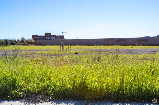
Property Record
1109 Kendall Rd, San Luis Obispo, CA 93401


NEARBY LISTINGS FOR SALE OR LEASE
Property Detail
1109 Kendall Rd
076-512-044
CY SLO PM 76/20-21 PARS 1 & 2
Commercialacreage
San Luis Obispo
X
California
06079C1332G
4.03 AC
2023
Outlying SLO County
2025
San Luis Obispo/Paso Robles
011505
San Luis Obispo-Paso Robles-Arroyo Grande, CA
DEMOGRAPHICS near 1109 Kendall Rd
1 Mile
3 Mile
5 Mile
2024 Total Population
2,709
21,769
57,341
2029 Population
2,748
21,787
57,613
Pop Growth 2024-2029
+ 1.44%
+ 0.08%
+ 0.47%
Average Age
42
42
36
2024 Total Households
1,062
9,159
21,624
HH Growth 2024-2029
+ 1.04%
(0.17%)
+ 0.39%
Median Household Inc
$121,416
$96,275
$70,831
Avg Household Size
2.50
2.30
2.30
2024 Avg HH Vehicles
2.00
2.00
2.00
Median Home Value
$976,912
$833,241
$815,812
Median Year Built
1994
1983
1978
Nearby Places
Map Layers
Map Styles
 Street
 Aerial
- Restaurants
- Banks
- Shops
- Fitness
- Groceries
PUBLIC TRANSPORTATION
COMMUTER RAIL
San Luis Obispo (Coast Starlight - Amtrak, Pacific Surfliner - Amtrak)
DRIVE
WALK
Distance
San Luis Obispo (Coast Starlight - Amtrak, Pacific Surfliner - Amtrak)
7 min
3.4 mi
Grover Beach Amtrak (Pacific Surfliner - Amtrak)
DRIVE
WALK
Distance
Grover Beach Amtrak (Pacific Surfliner - Amtrak)
15 min
9.6 mi
AIRPORT
San Luis County Regional
DRIVE
WALK
Distance
San Luis County Regional
4 min
1.4 mi
Freight Ports
The Port of Hueneme
DRIVE
WALK
Distance
The Port of Hueneme
167 min
128.9 mi
SALE & LEASE HISTORY
LISTING DATE
SALE/LEASE

Sep 25, 2016
For Lease
Apr 11, 2018
For Lease
Nearby Properties
Address
Land Use
TOTAL SIZE
Lot Size
Zoning
Address
Land Use
TOTAL SIZE
Lot Size
Zoning
92,330 SF
3.69 AC
R4
Address
Land Use
TOTAL SIZE
Lot Size
Zoning
191,653 SF
6.70 AC
CR
Address
Land Use
TOTAL SIZE
Lot Size
Zoning
3.65 AC
CN
Address
Land Use
TOTAL SIZE
Lot Size
Zoning
100,759 SF
21.52 AC
CR
Address
Land Use
TOTAL SIZE
Lot Size
Zoning
Address
Land Use
TOTAL SIZE
Lot Size
Zoning
69,091 SF
20.41 AC
AG
Address
Land Use
TOTAL SIZE
Lot Size
Zoning
91,389 SF
4.65 AC
R4
Address
Land Use
TOTAL SIZE
Lot Size
Zoning
201,280 SF
8.66 AC
M
Address
Land Use
TOTAL SIZE
Lot Size
Zoning
92.20 AC
R1
Address
Land Use
TOTAL SIZE
Lot Size
Zoning
66,348 SF
2.83 AC
CT
Address
Land Use
TOTAL SIZE
Lot Size
Zoning
85,863 SF
7.70 AC
R3
Address
Land Use
TOTAL SIZE
Lot Size
Zoning
66,022 SF
3.26 AC
R4
Address
Land Use
TOTAL SIZE
Lot Size
Zoning
30,986 SF
2.84 AC
CT
Address
Land Use
TOTAL SIZE
Lot Size
Zoning
59,358 SF
2 AC
M
Address
Land Use
TOTAL SIZE
Lot Size
Zoning
37,842 SF
1.36 AC
CS
Address
Land Use
TOTAL SIZE
Lot Size
Zoning
67,560 SF
10.07 AC
CC
Address
Land Use
TOTAL SIZE
Lot Size
Zoning
51,447 SF
1.62 AC
CS
Address
Land Use
TOTAL SIZE
Lot Size
Zoning
39,802 SF
5.04 AC
BP
Address
Land Use
TOTAL SIZE
Lot Size
Zoning
106,066 SF
6.75 AC
CS
Address
Land Use
TOTAL SIZE
Lot Size
Zoning
46,390 SF
5.26 AC
CS
Address
Land Use
TOTAL SIZE
Lot Size
Zoning
48,873 SF
3.16 AC
M
Address
Land Use
TOTAL SIZE
Lot Size
Zoning
23,568 SF
1.56 AC
CS
Address
Land Use
TOTAL SIZE
Lot Size
Zoning
41,522 SF
2.35 AC
CS
Address
Land Use
TOTAL SIZE
Lot Size
Zoning
1,970 SF
1.39 AC
CR
Address
Land Use
TOTAL SIZE
Lot Size
Zoning
36,000 SF
6.16 AC
M
Address
Land Use
TOTAL SIZE
Lot Size
Zoning
23,477 SF
1.84 AC
CS
Address
Land Use
TOTAL SIZE
Lot Size
Zoning
114,262 SF
5.70 AC
IND
Address
Land Use
TOTAL SIZE
Lot Size
Zoning
66,008 SF
10.75 AC
IND
Address
Land Use
TOTAL SIZE
Lot Size
Zoning
46,106 SF
2.23 AC
CN
Address
Land Use
TOTAL SIZE
Lot Size
Zoning
40,200 SF
6.20 AC
CS
The World's #1 Commercial Real Estate Marketplace
Connect with us
© 2025 CoStar Group
The information above has been obtained from sources believed reliable. While we do not doubt its accuracy we have not verified it and make no guarantee, warranty or representation about it. It is your responsibility to independently confirm its accuracy and completeness. Any projections, opinions, assumptions, or estimates used are for example only and do not represent the current or future performance of the property. The value of this transaction to you depends on tax and other factors which should be evaluated by your tax, financial, and legal advisors. You and your advisors should conduct a careful, independent investigation of the property to determine to your satisfaction the suitability of the property for your needs.