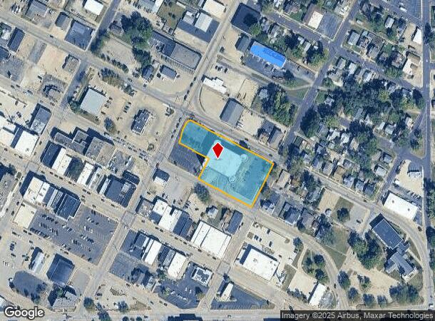
Property Record
111 N 6Th St, Pekin, IL 61554


NEARBY LISTINGS FOR SALE OR LEASE
Property Detail
111 N 6Th St
Peoria, IL
Original Town
04-04-35-332-001
SEC 35 T25N R5W ORIGINAL TOWN LOTS 1 THRU 13 (EXC HWY) BLK 89 SW 1/4
Storebuilding
Tazewell
X
Illinois
17179C0160E
1-13
2023
1.40 AC
2024
Outlying Tazewell County
020800
Peoria
47,588 SF
DEMOGRAPHICS near 111 N 6Th St
1 mile
3 mile
5 mile
2024 Total Population
11,617
32,797
42,101
2029 Population
11,486
32,353
41,455
Pop Growth 2024-2029
(1.13%)
(1.35%)
(1.53%)
Average Age
40
42
42
2024 Total Households
5,093
14,193
17,774
HH Growth 2024-2029
(1.24%)
(1.42%)
(1.61%)
Median Household Inc
$45,500
$48,896
$51,905
Avg Household Size
2.20
2.20
2.20
2024 Avg HH Vehicles
2.00
2.00
2.00
Median Home Value
$77,356
$122,793
$124,253
Median Year Built
1950
1962
1962
Nearby Places
Map Layers
Map Styles
 Street
 Aerial
Transit
 Traffic
 Biking
Places
Listings with unknown addresses are not visible on the map
- Restaurants
- Banks
- Shops
- Fitness
- Groceries
PUBLIC TRANSPORTATION
AIRPORT
General Downing - Peoria International
Drive
Walk
Distance
General Downing - Peoria International
18 min
11.6 mi
Freight Ports
Port Milwaukee
Drive
Walk
Distance
Port Milwaukee
280 min
238.2 mi
SALE & LEASE HISTORY
LISTING DATE
SALE/LEASE

Sep 25, 2016
For Lease
Oct 13, 2016
For Sale
Feb 13, 2018
For Lease
Apr 25, 2017
For Sale
Nearby Properties
Address
Land Use
TOTAL SIZE
Lot Size
Zoning
Address
Land Use
TOTAL SIZE
Lot Size
Zoning
177,420 SF
300.70 AC
Address
Land Use
TOTAL SIZE
Lot Size
Zoning
457,809 SF
97.96 AC
Address
Land Use
TOTAL SIZE
Lot Size
Zoning
16,082 SF
2.85 AC
Address
Land Use
TOTAL SIZE
Lot Size
Zoning
24.82 AC
Address
Land Use
TOTAL SIZE
Lot Size
Zoning
71,497 SF
5.83 AC
Address
Land Use
TOTAL SIZE
Lot Size
Zoning
24,780 SF
4.29 AC
Address
Land Use
TOTAL SIZE
Lot Size
Zoning
214,634 SF
38.35 AC
Address
Land Use
TOTAL SIZE
Lot Size
Zoning
148,976 SF
1.90 AC
Address
Land Use
TOTAL SIZE
Lot Size
Zoning
159,468 SF
12.24 AC
Address
Land Use
TOTAL SIZE
Lot Size
Zoning
144,074 SF
3.89 AC
Address
Land Use
TOTAL SIZE
Lot Size
Zoning
138,686 SF
9.50 AC
Address
Land Use
TOTAL SIZE
Lot Size
Zoning
159,988 SF
11.41 AC
Address
Land Use
TOTAL SIZE
Lot Size
Zoning
75,625 SF
14.02 AC
Address
Land Use
TOTAL SIZE
Lot Size
Zoning
17.98 AC
Address
Land Use
TOTAL SIZE
Lot Size
Zoning
43,746 SF
5.10 AC
Address
Land Use
TOTAL SIZE
Lot Size
Zoning
99,465 SF
7.95 AC
Address
Land Use
TOTAL SIZE
Lot Size
Zoning
140,003 SF
9.98 AC
Address
Land Use
TOTAL SIZE
Lot Size
Zoning
44,556 SF
18.96 AC
Address
Land Use
TOTAL SIZE
Lot Size
Zoning
152,640 SF
19.34 AC
Address
Land Use
TOTAL SIZE
Lot Size
Zoning
330,215 SF
38.55 AC
Address
Land Use
TOTAL SIZE
Lot Size
Zoning
47,751 SF
0.48 AC
Address
Land Use
TOTAL SIZE
Lot Size
Zoning
70,950 SF
3.88 AC
Address
Land Use
TOTAL SIZE
Lot Size
Zoning
90,938 SF
6.52 AC
Address
Land Use
TOTAL SIZE
Lot Size
Zoning
92,598 SF
15.36 AC
Address
Land Use
TOTAL SIZE
Lot Size
Zoning
2.50 AC
Address
Land Use
TOTAL SIZE
Lot Size
Zoning
50,000 SF
20.52 AC
Address
Land Use
TOTAL SIZE
Lot Size
Zoning
91,936 SF
10.64 AC
Address
Land Use
TOTAL SIZE
Lot Size
Zoning
59,066 SF
7.92 AC
Address
Land Use
TOTAL SIZE
Lot Size
Zoning
77,269 SF
5.90 AC
Address
Land Use
TOTAL SIZE
Lot Size
Zoning
22,800 SF
0.75 AC
The World's #1 Commercial Real Estate Marketplace
Connect with us
© 2026 CoStar Group
The information above has been obtained from sources believed reliable. While we do not doubt its accuracy we have not verified it and make no guarantee, warranty or representation about it. It is your responsibility to independently confirm its accuracy and completeness. Any projections, opinions, assumptions, or estimates used are for example only and do not represent the current or future performance of the property. The value of this transaction to you depends on tax and other factors which should be evaluated by your tax, financial, and legal advisors. You and your advisors should conduct a careful, independent investigation of the property to determine to your satisfaction the suitability of the property for your needs.