Property Record
111 S 90Th St, Lincoln, NE 68520


NEARBY LISTINGS FOR SALE OR LEASE
Property Detail
111 S 90Th St
Lincoln, NE
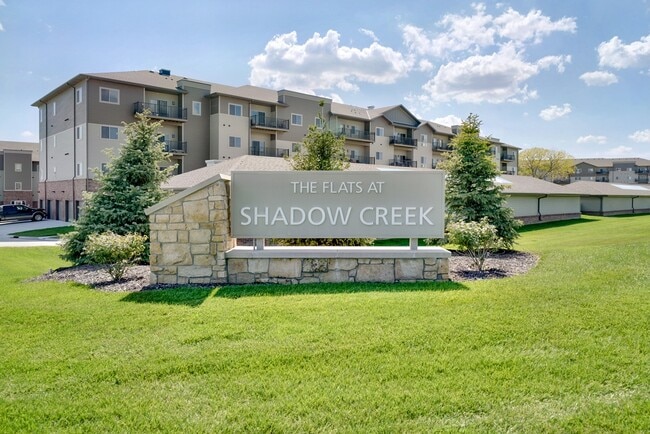
Shadow Creek First Addition
17-26-108-001-000
SHADOW CREEK FIRST ADDITION, LOT 1
Commercialnec
Lancaster
X
Nebraska
31109C0336F
1
2024
10.39 AC
2025
Maple Valley/Wedgewood
003718
Lincoln
47,866 SF
DEMOGRAPHICS near 111 S 90Th St
1 Mile
3 Mile
5 Mile
2024 Total Population
7,965
64,378
157,584
2029 Population
8,372
67,019
163,409
Pop Growth 2024-2029
+ 5.11%
+ 4.10%
+ 3.70%
Average Age
40
41
39
2024 Total Households
3,266
27,477
66,189
HH Growth 2024-2029
+ 5.21%
+ 4.16%
+ 3.84%
Median Household Inc
$87,479
$71,291
$63,311
Avg Household Size
2.40
2.30
2.30
2024 Avg HH Vehicles
2.00
2.00
2.00
Median Home Value
$268,701
$229,007
$221,065
Median Year Built
1973
1976
1972
Nearby Places
Map Layers
Map Styles
 Street
 Aerial
- Restaurants
- Banks
- Shops
- Fitness
- Groceries
PUBLIC TRANSPORTATION
COMMUTER RAIL
Lincoln Amtrak Station (California Zephyr - Amtrak)
DRIVE
WALK
Distance
Lincoln Amtrak Station (California Zephyr - Amtrak)
14 min
6.5 mi
AIRPORT
Lincoln
DRIVE
WALK
Distance
Lincoln
21 min
11.2 mi
Freight Ports
Tulsa Port Of Catoosa
DRIVE
WALK
Distance
Tulsa Port Of Catoosa
465 min
389.8 mi
Nearby Properties
Address
Land Use
TOTAL SIZE
Lot Size
Zoning
Address
Land Use
TOTAL SIZE
Lot Size
Zoning
604,749 SF
20.55 AC
R2
Address
Land Use
TOTAL SIZE
Lot Size
Zoning
364,797 SF
25.06 AC
R1
Address
Land Use
TOTAL SIZE
Lot Size
Zoning
531,687 SF
32.18 AC
B5
Address
Land Use
TOTAL SIZE
Lot Size
Zoning
32,110 SF
14.60 AC
R5
Address
Land Use
TOTAL SIZE
Lot Size
Zoning
37,240 SF
17.06 AC
NULL
Address
Land Use
TOTAL SIZE
Lot Size
Zoning
234,103 SF
13.56 AC
R2
Address
Land Use
TOTAL SIZE
Lot Size
Zoning
36,751 SF
1.80 AC
B5
Address
Land Use
TOTAL SIZE
Lot Size
Zoning
430,949 SF
41.47 AC
P
Address
Land Use
TOTAL SIZE
Lot Size
Zoning
179,447 SF
7.85 AC
R6
Address
Land Use
TOTAL SIZE
Lot Size
Zoning
102,739 SF
4.24 AC
B2
Address
Land Use
TOTAL SIZE
Lot Size
Zoning
119,335 SF
26.11 AC
R1
Address
Land Use
TOTAL SIZE
Lot Size
Zoning
142,179 SF
9.68 AC
R3
Address
Land Use
TOTAL SIZE
Lot Size
Zoning
225,199 SF
31.18 AC
O3
Address
Land Use
TOTAL SIZE
Lot Size
Zoning
148,760 SF
4.99 AC
R4
Address
Land Use
TOTAL SIZE
Lot Size
Zoning
10,688 SF
237.77 AC
P
Address
Land Use
TOTAL SIZE
Lot Size
Zoning
192,751 SF
18.49 AC
B5
Address
Land Use
TOTAL SIZE
Lot Size
Zoning
32,443 SF
7.20 AC
NULL
Address
Land Use
TOTAL SIZE
Lot Size
Zoning
214,823 SF
19.37 AC
B5
Address
Land Use
TOTAL SIZE
Lot Size
Zoning
51,080 SF
12.42 AC
Address
Land Use
TOTAL SIZE
Lot Size
Zoning
73,737 SF
5.98 AC
B2
Address
Land Use
TOTAL SIZE
Lot Size
Zoning
68,664 SF
7 AC
NULL
Address
Land Use
TOTAL SIZE
Lot Size
Zoning
18,506 SF
12.61 AC
NULL
Address
Land Use
TOTAL SIZE
Lot Size
Zoning
30,608 SF
25.92 AC
R4
Address
Land Use
TOTAL SIZE
Lot Size
Zoning
17,184 SF
15.39 AC
NULL
Address
Land Use
TOTAL SIZE
Lot Size
Zoning
62,252 SF
1.92 AC
R2
Address
Land Use
TOTAL SIZE
Lot Size
Zoning
36,041 SF
5.43 AC
R5
Address
Land Use
TOTAL SIZE
Lot Size
Zoning
17,312 SF
177.49 AC
AG
Address
Land Use
TOTAL SIZE
Lot Size
Zoning
59,073 SF
18.66 AC
R4
Address
Land Use
TOTAL SIZE
Lot Size
Zoning
72,176 SF
8.65 AC
The World's #1 Commercial Real Estate Marketplace
Connect with us
© 2026 CoStar Group
The information above has been obtained from sources believed reliable. While we do not doubt its accuracy we have not verified it and make no guarantee, warranty or representation about it. It is your responsibility to independently confirm its accuracy and completeness. Any projections, opinions, assumptions, or estimates used are for example only and do not represent the current or future performance of the property. The value of this transaction to you depends on tax and other factors which should be evaluated by your tax, financial, and legal advisors. You and your advisors should conduct a careful, independent investigation of the property to determine to your satisfaction the suitability of the property for your needs.