Property Record
1110 W 9Th St, Russellville, KY 42276

NEARBY LISTINGS FOR SALE OR LEASE
Property Detail
1110 W 9Th St
Commercialnec
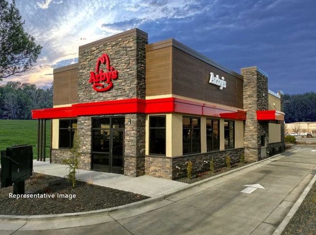
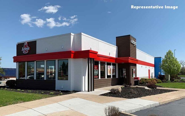
ARBY'S W 9TH ST
AE
Logan
21141C0259D
Kentucky
2025
0.61 AC
2025
Bowling Green Area
960400
Other Market Areas
3,803 SF
069-00-00-041-02
DEMOGRAPHICS near 1110 W 9Th St
1 Mile
3 Mile
5 Mile
2024 Total Population
2,014
8,910
11,303
2029 Population
2,111
9,348
11,854
Pop Growth 2024-2029
+ 4.82%
+ 4.92%
+ 4.87%
Average Age
40
41
41
2024 Total Households
849
3,738
4,715
HH Growth 2024-2029
+ 4.71%
+ 4.92%
+ 4.90%
Median Household Inc
$42,739
$52,019
$52,643
Avg Household Size
2.30
2.30
2.30
2024 Avg HH Vehicles
2.00
2.00
2.00
Median Home Value
$96,641
$127,857
$130,773
Median Year Built
1968
1972
1973
Nearby Places
Map Layers
Map Styles
 Street
 Aerial
- Restaurants
- Banks
- Shops
- Fitness
- Groceries
SALE & LEASE HISTORY
LISTING DATE
SALE/LEASE

Sep 08, 2019
For Sale
Nearby Properties
Address
Land Use
TOTAL SIZE
Lot Size
Zoning
Address
Land Use
TOTAL SIZE
Lot Size
Zoning
75,996 SF
16.49 AC
Address
Land Use
TOTAL SIZE
Lot Size
Zoning
0.82 AC
Address
Land Use
TOTAL SIZE
Lot Size
Zoning
58,143 SF
2.62 AC
Address
Land Use
TOTAL SIZE
Lot Size
Zoning
22.94 AC
Address
Land Use
TOTAL SIZE
Lot Size
Zoning
41.91 AC
Address
Land Use
TOTAL SIZE
Lot Size
Zoning
160,629 SF
16.82 AC
Address
Land Use
TOTAL SIZE
Lot Size
Zoning
14.86 AC
Address
Land Use
TOTAL SIZE
Lot Size
Zoning
14,554 SF
0.05 AC
Address
Land Use
TOTAL SIZE
Lot Size
Zoning
11.80 AC
Address
Land Use
TOTAL SIZE
Lot Size
Zoning
121.56 AC
Address
Land Use
TOTAL SIZE
Lot Size
Zoning
0.66 AC
Address
Land Use
TOTAL SIZE
Lot Size
Zoning
Address
Land Use
TOTAL SIZE
Lot Size
Zoning
15,240 SF
6.86 AC
Address
Land Use
TOTAL SIZE
Lot Size
Zoning
Address
Land Use
TOTAL SIZE
Lot Size
Zoning
5,929 SF
3 AC
Address
Land Use
TOTAL SIZE
Lot Size
Zoning
Address
Land Use
TOTAL SIZE
Lot Size
Zoning
Address
Land Use
TOTAL SIZE
Lot Size
Zoning
73,676 SF
6.54 AC
Address
Land Use
TOTAL SIZE
Lot Size
Zoning
215,000 SF
22.95 AC
Address
Land Use
TOTAL SIZE
Lot Size
Zoning
37,152 SF
7 AC
Address
Land Use
TOTAL SIZE
Lot Size
Zoning
2.39 AC
Address
Land Use
TOTAL SIZE
Lot Size
Zoning
71,545 SF
8.99 AC
Address
Land Use
TOTAL SIZE
Lot Size
Zoning
852 SF
4.54 AC
Address
Land Use
TOTAL SIZE
Lot Size
Zoning
17,608 SF
1.22 AC
Address
Land Use
TOTAL SIZE
Lot Size
Zoning
42,290 SF
4.49 AC
Address
Land Use
TOTAL SIZE
Lot Size
Zoning
Address
Land Use
TOTAL SIZE
Lot Size
Zoning
7.11 AC
Address
Land Use
TOTAL SIZE
Lot Size
Zoning
4.90 AC
Address
Land Use
TOTAL SIZE
Lot Size
Zoning
172.01 AC
Address
Land Use
TOTAL SIZE
Lot Size
Zoning
23.09 AC
The World's #1 Commercial Real Estate Marketplace
Connect with us
© 2026 CoStar Group
The information above has been obtained from sources believed reliable. While we do not doubt its accuracy we have not verified it and make no guarantee, warranty or representation about it. It is your responsibility to independently confirm its accuracy and completeness. Any projections, opinions, assumptions, or estimates used are for example only and do not represent the current or future performance of the property. The value of this transaction to you depends on tax and other factors which should be evaluated by your tax, financial, and legal advisors. You and your advisors should conduct a careful, independent investigation of the property to determine to your satisfaction the suitability of the property for your needs.