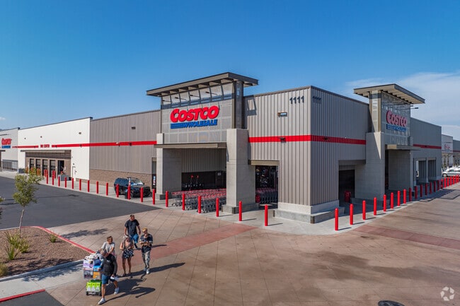
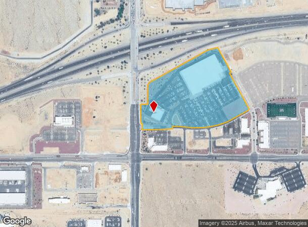
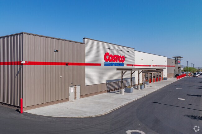
Property Record
1111 N Verrado Way, Buckeye, AZ 85326
NEARBY LISTINGS FOR SALE OR LEASE
Property Detail
1111 N Verrado Way
Phoenix
Buckeye Parkway Center Parcels 1 And 9 R
Phoenix-Mesa-Scottsdale, AZ
BUCKEYE PARKWAY CENTER PARCELS 1 AND 9 REPLAT MCR 1698-46
502-35-844
Maricopa
Storebuilding
Arizona
2025
1
2025
22.52 AC
050612
South Buckeye
152,901 SF
DEMOGRAPHICS near 1111 N Verrado Way
1 Mile
3 Mile
5 Mile
2024 Total Population
5,152
49,791
96,452
2029 Population
5,750
55,429
107,503
Pop Growth 2024-2029
+ 11.61%
+ 11.32%
+ 11.46%
Average Age
35
36
37
2024 Total Households
1,569
15,297
30,153
HH Growth 2024-2029
+ 11.66%
+ 11.46%
+ 11.68%
Median Household Inc
$116,015
$100,736
$99,737
Avg Household Size
3.30
3.20
3.10
2024 Avg HH Vehicles
3.00
2.00
2.00
Median Home Value
$415,815
$393,786
$395,789
Median Year Built
2004
2004
2004
Nearby Places
Map Layers
Map Styles
 Street
 Aerial
- Restaurants
- Banks
- Shops
- Fitness
- Groceries
PUBLIC TRANSPORTATION
AIRPORT
Phoenix Sky Harbor International
DRIVE
WALK
Distance
Phoenix Sky Harbor International
40 min
31.4 mi
Freight Ports
Port of San Diego
DRIVE
WALK
Distance
Port of San Diego
366 min
330.1 mi
SALE & LEASE HISTORY
LISTING DATE
SALE/LEASE

Sep 25, 2016
For Lease
Nearby Properties
Address
Land Use
TOTAL SIZE
Lot Size
Zoning
Address
Land Use
TOTAL SIZE
Lot Size
Zoning
196,353 SF
13.05 AC
C-C
Address
Land Use
TOTAL SIZE
Lot Size
Zoning
166,213 SF
29.60 AC
PAD
Address
Land Use
TOTAL SIZE
Lot Size
Zoning
231,044 SF
48.70 AC
Address
Land Use
TOTAL SIZE
Lot Size
Zoning
179,632 SF
16.64 AC
PR
Address
Land Use
TOTAL SIZE
Lot Size
Zoning
1.98 AC
PAD
Address
Land Use
TOTAL SIZE
Lot Size
Zoning
82,692 SF
23.68 AC
Address
Land Use
TOTAL SIZE
Lot Size
Zoning
108,281 SF
11.95 AC
PC
Address
Land Use
TOTAL SIZE
Lot Size
Zoning
73,130 SF
3.68 AC
PAD
Address
Land Use
TOTAL SIZE
Lot Size
Zoning
12,418 SF
54.25 AC
PC
Address
Land Use
TOTAL SIZE
Lot Size
Zoning
91,505 SF
16.57 AC
PAD
Address
Land Use
TOTAL SIZE
Lot Size
Zoning
80,531 SF
7.51 AC
PAD
Address
Land Use
TOTAL SIZE
Lot Size
Zoning
40,300 SF
19.53 AC
CC
Address
Land Use
TOTAL SIZE
Lot Size
Zoning
44,463 SF
79.72 AC
RR
Address
Land Use
TOTAL SIZE
Lot Size
Zoning
5,597 SF
164.45 AC
PR
Address
Land Use
TOTAL SIZE
Lot Size
Zoning
64,720 SF
2.24 AC
PC
Address
Land Use
TOTAL SIZE
Lot Size
Zoning
34,356 SF
14.43 AC
CC
Address
Land Use
TOTAL SIZE
Lot Size
Zoning
38,713 SF
7.12 AC
PAD
Address
Land Use
TOTAL SIZE
Lot Size
Zoning
188,937 SF
20.87 AC
Address
Land Use
TOTAL SIZE
Lot Size
Zoning
51,512 SF
18.71 AC
I-1
Address
Land Use
TOTAL SIZE
Lot Size
Zoning
65,023 SF
12.52 AC
C-C
Address
Land Use
TOTAL SIZE
Lot Size
Zoning
65,506 SF
5 AC
C-C
Address
Land Use
TOTAL SIZE
Lot Size
Zoning
52.66 AC
Address
Land Use
TOTAL SIZE
Lot Size
Zoning
31,223 SF
14.39 AC
C-C
Address
Land Use
TOTAL SIZE
Lot Size
Zoning
83,200 SF
1.25 AC
PC
Address
Land Use
TOTAL SIZE
Lot Size
Zoning
14,968 SF
73.37 AC
R-43
Address
Land Use
TOTAL SIZE
Lot Size
Zoning
46,942 SF
52.81 AC
PR
Address
Land Use
TOTAL SIZE
Lot Size
Zoning
16.19 AC
The World's #1 Commercial Real Estate Marketplace
Connect with us
© 2026 CoStar Group
The information above has been obtained from sources believed reliable. While we do not doubt its accuracy we have not verified it and make no guarantee, warranty or representation about it. It is your responsibility to independently confirm its accuracy and completeness. Any projections, opinions, assumptions, or estimates used are for example only and do not represent the current or future performance of the property. The value of this transaction to you depends on tax and other factors which should be evaluated by your tax, financial, and legal advisors. You and your advisors should conduct a careful, independent investigation of the property to determine to your satisfaction the suitability of the property for your needs.