Property Record
1118 Highway 12 E, Willmar, MN 56201


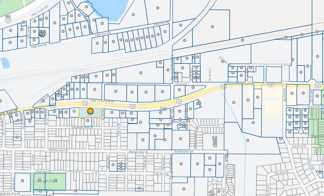
Property Detail
1118 Highway 12 E
Willmar, MN
ALL THAT PART OF ELFSTRUM'S OUT-LOT LYING S. OF WHY 12 & THAT PART OF THE E.150' OF W 1023' OF NW14 OF NE14 LYING
95-914-1930
KANDIYOHI
Industrialgeneral
Minnesota
B and X Area of moderate flood hazard, usually the area between the limits of the 100-year and 500-year floods.
1.79 AC
2025
Minnesota Central Area
2025
Other Market Areas
781000
NEARBY LISTINGS FOR SALE OR LEASE
DEMOGRAPHICS near 1118 Highway 12 E
1 mile
3 mile
5 mile
2025 Total Population
7,122
21,576
24,055
2030 Population
7,231
21,948
24,449
Pop Growth 2025-2030
+ 1.53%
+ 1.72%
+ 1.64%
Average Age
38
37
38
2025 Total Households
2,743
8,073
9,024
HH Growth 2025-2030
+ 1.49%
+ 1.71%
+ 1.62%
Median Household Inc
$63,166
$63,415
$65,433
Avg Household Size
2.40
2.50
2.50
2025 Avg HH Vehicles
2.00
2.00
2.00
Median Home Value
$180,053
$194,247
$207,314
Median Year Built
1975
1973
1974
Nearby Places
Map Layers
Map Styles
 Street
 Aerial
Transit
 Traffic
 Biking
Places
Listings with unknown addresses are not visible on the map
- Restaurants
- Banks
- Shops
- Fitness
- Groceries
SALE & LEASE HISTORY
LISTING DATE
SALE/LEASE

Mar 26, 2019
For Sale
Nearby Properties
Address
Land Use
TOTAL SIZE
Lot Size
Zoning
Address
Land Use
TOTAL SIZE
Lot Size
Zoning
52.87 AC
Address
Land Use
TOTAL SIZE
Lot Size
Zoning
4.69 AC
Address
Land Use
TOTAL SIZE
Lot Size
Zoning
Address
Land Use
TOTAL SIZE
Lot Size
Zoning
9.75 AC
Address
Land Use
TOTAL SIZE
Lot Size
Zoning
18.80 AC
Address
Land Use
TOTAL SIZE
Lot Size
Zoning
18.17 AC
Address
Land Use
TOTAL SIZE
Lot Size
Zoning
19.83 AC
Address
Land Use
TOTAL SIZE
Lot Size
Zoning
25.40 AC
Address
Land Use
TOTAL SIZE
Lot Size
Zoning
24.92 AC
Address
Land Use
TOTAL SIZE
Lot Size
Zoning
35.03 AC
Address
Land Use
TOTAL SIZE
Lot Size
Zoning
39.63 AC
Address
Land Use
TOTAL SIZE
Lot Size
Zoning
2.65 AC
Address
Land Use
TOTAL SIZE
Lot Size
Zoning
Address
Land Use
TOTAL SIZE
Lot Size
Zoning
10.87 AC
Address
Land Use
TOTAL SIZE
Lot Size
Zoning
11.83 AC
Address
Land Use
TOTAL SIZE
Lot Size
Zoning
23.74 AC
Address
Land Use
TOTAL SIZE
Lot Size
Zoning
Address
Land Use
TOTAL SIZE
Lot Size
Zoning
10.36 AC
Address
Land Use
TOTAL SIZE
Lot Size
Zoning
2.96 AC
Address
Land Use
TOTAL SIZE
Lot Size
Zoning
8.90 AC
Address
Land Use
TOTAL SIZE
Lot Size
Zoning
23.52 AC
Address
Land Use
TOTAL SIZE
Lot Size
Zoning
4.23 AC
Address
Land Use
TOTAL SIZE
Lot Size
Zoning
56.71 AC
Address
Land Use
TOTAL SIZE
Lot Size
Zoning
2.04 AC
Address
Land Use
TOTAL SIZE
Lot Size
Zoning
2.12 AC
Address
Land Use
TOTAL SIZE
Lot Size
Zoning
2.75 AC
Address
Land Use
TOTAL SIZE
Lot Size
Zoning
1.90 AC
Address
Land Use
TOTAL SIZE
Lot Size
Zoning
2.75 AC
Address
Land Use
TOTAL SIZE
Lot Size
Zoning
2.44 AC
Address
Land Use
TOTAL SIZE
Lot Size
Zoning
17.02 AC
The World's #1 Commercial Real Estate Marketplace
Connect with us
© 2026 CoStar Group
The information above has been obtained from sources believed reliable. While we do not doubt its accuracy we have not verified it and make no guarantee, warranty or representation about it. It is your responsibility to independently confirm its accuracy and completeness. Any projections, opinions, assumptions, or estimates used are for example only and do not represent the current or future performance of the property. The value of this transaction to you depends on tax and other factors which should be evaluated by your tax, financial, and legal advisors. You and your advisors should conduct a careful, independent investigation of the property to determine to your satisfaction the suitability of the property for your needs.