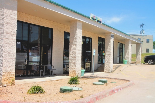
Property Record
11190 Circle Dr, Austin, TX 78736

Property Detail
11190 Circle Dr
532118
ABS 350 SUR 67 HOLTON W S ACR 13.3269
Warehouse
TRAVIS
B and X Area of moderate flood hazard, usually the area between the limits of the 100-year and 500-year floods.
Texas
2025
13.33 AC
2025
Southwest
036600
Austin
59,133 SF
Austin-Round Rock-San Marcos, TX
NEARBY LISTINGS FOR SALE OR LEASE
DEMOGRAPHICS near 11190 Circle Dr
1 mile
3 mile
5 mile
2025 Total Population
437
15,424
65,418
2030 Population
456
16,947
70,207
Pop Growth 2025-2030
+ 4.35%
+ 9.87%
+ 7.32%
Average Age
45
41
40
2025 Total Households
165
5,536
23,456
HH Growth 2025-2030
+ 4.85%
+ 10.68%
+ 8.04%
Median Household Inc
$141,964
$153,194
$156,412
Avg Household Size
2.60
2.80
2.70
2025 Avg HH Vehicles
2.00
2.00
2.00
Median Home Value
$812,499
$779,384
$761,188
Median Year Built
1998
2005
2004
Nearby Places
Map Layers
Map Styles
 Street
 Aerial
Transit
 Traffic
 Biking
Places
Listings with unknown addresses are not visible on the map
- Restaurants
- Banks
- Shops
- Fitness
- Groceries
PUBLIC TRANSPORTATION
AIRPORT
Austin-Bergstrom International
Drive
Walk
Distance
Austin-Bergstrom International
35 min
20.8 mi
SALE & LEASE HISTORY
LISTING DATE
SALE/LEASE

May 01, 2017
For Lease
Apr 17, 2018
For Lease
Nearby Properties
Address
Land Use
TOTAL SIZE
Lot Size
Zoning
Address
Land Use
TOTAL SIZE
Lot Size
Zoning
339,456 SF
32.70 AC
Address
Land Use
TOTAL SIZE
Lot Size
Zoning
399,662 SF
16.72 AC
Address
Land Use
TOTAL SIZE
Lot Size
Zoning
324,987 SF
8.29 AC
Address
Land Use
TOTAL SIZE
Lot Size
Zoning
191,928 SF
4.79 AC
Address
Land Use
TOTAL SIZE
Lot Size
Zoning
219,299 SF
4.89 AC
Address
Land Use
TOTAL SIZE
Lot Size
Zoning
275,753 SF
15.68 AC
Address
Land Use
TOTAL SIZE
Lot Size
Zoning
64,670 SF
13.53 AC
Address
Land Use
TOTAL SIZE
Lot Size
Zoning
231,472 SF
9.53 AC
Address
Land Use
TOTAL SIZE
Lot Size
Zoning
103,045 SF
59.39 AC
Address
Land Use
TOTAL SIZE
Lot Size
Zoning
121,400 SF
28.99 AC
Address
Land Use
TOTAL SIZE
Lot Size
Zoning
84,970 SF
7.19 AC
Address
Land Use
TOTAL SIZE
Lot Size
Zoning
110,760 SF
11.75 AC
Address
Land Use
TOTAL SIZE
Lot Size
Zoning
214.72 AC
Address
Land Use
TOTAL SIZE
Lot Size
Zoning
101,453 SF
14.29 AC
Address
Land Use
TOTAL SIZE
Lot Size
Zoning
47,530 SF
16.08 AC
Address
Land Use
TOTAL SIZE
Lot Size
Zoning
33,145 SF
2.70 AC
Address
Land Use
TOTAL SIZE
Lot Size
Zoning
70,194 SF
2.71 AC
Address
Land Use
TOTAL SIZE
Lot Size
Zoning
208.60 AC
Address
Land Use
TOTAL SIZE
Lot Size
Zoning
18.29 AC
Address
Land Use
TOTAL SIZE
Lot Size
Zoning
69.12 AC
Address
Land Use
TOTAL SIZE
Lot Size
Zoning
14,090 SF
3.08 AC
Address
Land Use
TOTAL SIZE
Lot Size
Zoning
43,215 SF
3.85 AC
Address
Land Use
TOTAL SIZE
Lot Size
Zoning
15,750 SF
1.94 AC
Address
Land Use
TOTAL SIZE
Lot Size
Zoning
10.51 AC
Address
Land Use
TOTAL SIZE
Lot Size
Zoning
54,606 SF
12.27 AC
Address
Land Use
TOTAL SIZE
Lot Size
Zoning
27,900 SF
5.01 AC
Address
Land Use
TOTAL SIZE
Lot Size
Zoning
15,000 SF
8.73 AC
Address
Land Use
TOTAL SIZE
Lot Size
Zoning
39,650 SF
9.17 AC
Address
Land Use
TOTAL SIZE
Lot Size
Zoning
15,639 SF
2.10 AC
The World's #1 Commercial Real Estate Marketplace
Connect with us
© 2026 CoStar Group
The information above has been obtained from sources believed reliable. While we do not doubt its accuracy we have not verified it and make no guarantee, warranty or representation about it. It is your responsibility to independently confirm its accuracy and completeness. Any projections, opinions, assumptions, or estimates used are for example only and do not represent the current or future performance of the property. The value of this transaction to you depends on tax and other factors which should be evaluated by your tax, financial, and legal advisors. You and your advisors should conduct a careful, independent investigation of the property to determine to your satisfaction the suitability of the property for your needs.