Property Record
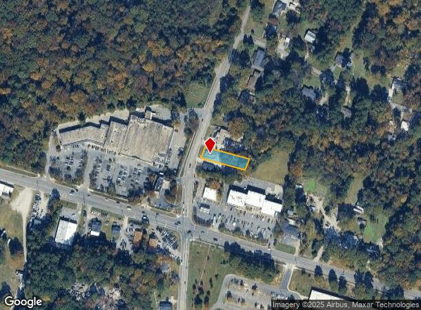
112 N Mineral Springs Rd, Durham, NC 27703

Current Lease Availabilities
NEARBY LISTINGS FOR SALE OR LEASE
Property Detail
112 N Mineral Springs Rd
162378
Property Of W L Currin
Commercialnec
PROP-CURRIN W L PL:000000-000000
X
Durham
3720085100K
North Carolina
2025
0.25 AC
2025
North Durham
001811
Raleigh/Durham
744 SF
Durham-Chapel Hill, NC
DEMOGRAPHICS near 112 N Mineral Springs Rd
1 Mile
3 Mile
5 Mile
2024 Total Population
7,686
41,526
116,452
2029 Population
7,899
43,232
122,517
Pop Growth 2024-2029
+ 2.77%
+ 4.11%
+ 5.21%
Average Age
38
37
38
2024 Total Households
2,762
14,974
45,683
HH Growth 2024-2029
+ 2.90%
+ 4.28%
+ 5.62%
Median Household Inc
$81,798
$79,846
$70,814
Avg Household Size
2.70
2.70
2.40
2024 Avg HH Vehicles
2.00
2.00
2.00
Median Home Value
$237,821
$269,708
$291,710
Median Year Built
1995
1997
1997
Nearby Places
- Restaurants
- Banks
- Shops
- Fitness
- Groceries
PUBLIC TRANSPORTATION
COMMUTER RAIL
Durham Amtrak Station (Carolinian - Amtrak, Piedmont - Amtrak)
DRIVE
WALK
Distance
Durham Amtrak Station (Carolinian - Amtrak, Piedmont - Amtrak)
11 min
5.1 mi
AIRPORT
Raleigh-Durham International
DRIVE
WALK
Distance
Raleigh-Durham International
19 min
10.4 mi
Freight Ports
Virginia Port Authority - Richmond
DRIVE
WALK
Distance
Virginia Port Authority - Richmond
168 min
144.9 mi
Nearby Properties
Address
Land Use
TOTAL SIZE
Lot Size
Zoning
Address
Land Use
TOTAL SIZE
Lot Size
Zoning
21.29 AC
CG(D)
Address
Land Use
TOTAL SIZE
Lot Size
Zoning
28,632 SF
23.64 AC
PDR 3.990
Address
Land Use
TOTAL SIZE
Lot Size
Zoning
1,524 SF
11.97 AC
CG(D)
Address
Land Use
TOTAL SIZE
Lot Size
Zoning
40.81 AC
IL
Address
Land Use
TOTAL SIZE
Lot Size
Zoning
15.47 AC
RS-M(D)
Address
Land Use
TOTAL SIZE
Lot Size
Zoning
13.70 AC
CG(D)
Address
Land Use
TOTAL SIZE
Lot Size
Zoning
246,580 SF
15.74 AC
IL
Address
Land Use
TOTAL SIZE
Lot Size
Zoning
432 SF
13.29 AC
RS-M
Address
Land Use
TOTAL SIZE
Lot Size
Zoning
12.33 AC
IP
Address
Land Use
TOTAL SIZE
Lot Size
Zoning
4,552 SF
9.48 AC
PDR 10.000
Address
Land Use
TOTAL SIZE
Lot Size
Zoning
163,672 SF
13.52 AC
IL
Address
Land Use
TOTAL SIZE
Lot Size
Zoning
17.26 AC
RS-M
Address
Land Use
TOTAL SIZE
Lot Size
Zoning
61,242 SF
8.59 AC
CC(D)
Address
Land Use
TOTAL SIZE
Lot Size
Zoning
53.25 AC
PDR 5.949
Address
Land Use
TOTAL SIZE
Lot Size
Zoning
237,277 SF
20.37 AC
IL
Address
Land Use
TOTAL SIZE
Lot Size
Zoning
131,114 SF
48.95 AC
RR
Address
Land Use
TOTAL SIZE
Lot Size
Zoning
10,640 SF
12.11 AC
RS-M
Address
Land Use
TOTAL SIZE
Lot Size
Zoning
55,922 SF
6.92 AC
IL
Address
Land Use
TOTAL SIZE
Lot Size
Zoning
114,473 SF
7.02 AC
RS-8
Address
Land Use
TOTAL SIZE
Lot Size
Zoning
80,330 SF
34.58 AC
RR
Address
Land Use
TOTAL SIZE
Lot Size
Zoning
53.96 AC
PDR 5.949
Address
Land Use
TOTAL SIZE
Lot Size
Zoning
181.12 AC
PDR 2.883
Address
Land Use
TOTAL SIZE
Lot Size
Zoning
102,562 SF
16.39 AC
RR
Address
Land Use
TOTAL SIZE
Lot Size
Zoning
11,097 SF
23.03 AC
RS-M(D)
Address
Land Use
TOTAL SIZE
Lot Size
Zoning
111,073 SF
10.94 AC
CC
Address
Land Use
TOTAL SIZE
Lot Size
Zoning
98.34 AC
PDR 3.950
Address
Land Use
TOTAL SIZE
Lot Size
Zoning
82,777 SF
15.72 AC
RR,RS-20
Address
Land Use
TOTAL SIZE
Lot Size
Zoning
106,427 SF
9.05 AC
CC,CN
Address
Land Use
TOTAL SIZE
Lot Size
Zoning
52,682 SF
11.46 AC
RS-20
Address
Land Use
TOTAL SIZE
Lot Size
Zoning
63,071 SF
4.66 AC
RU-M
The World's #1 Commercial Real Estate Marketplace
Connect with us
© 2025 CoStar Group
The information above has been obtained from sources believed reliable. While we do not doubt its accuracy we have not verified it and make no guarantee, warranty or representation about it. It is your responsibility to independently confirm its accuracy and completeness. Any projections, opinions, assumptions, or estimates used are for example only and do not represent the current or future performance of the property. The value of this transaction to you depends on tax and other factors which should be evaluated by your tax, financial, and legal advisors. You and your advisors should conduct a careful, independent investigation of the property to determine to your satisfaction the suitability of the property for your needs.