Property Record
11200 Highway 142, Covington, GA 30014


Save to a Folder
{{folder.Name}}
{{folder.ListingIds.length}} Properties
{{folder.ListingIds.length}} Property
Create a New Folder
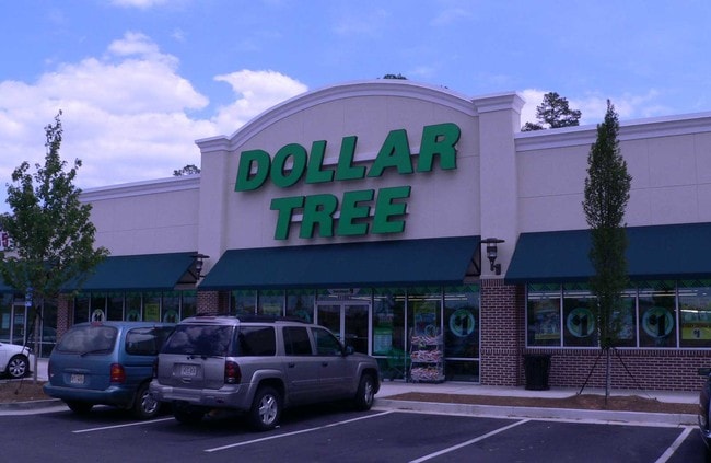
Property Detail
11200 Highway 142
Atlanta-Sandy Springs-Roswell, GA
2.144 OUTLT6 BRENTWD RET
C081000000105000
NEWTON
Storebuilding
Georgia
B and X Area of moderate flood hazard, usually the area between the limits of the 100-year and 500-year floods.
262
2025
2.14 AC
2025
Lithonia/Conyers
100302
Atlanta
20,320 SF
NEARBY LISTINGS FOR SALE OR LEASE
DEMOGRAPHICS near 11200 Highway 142
1 mile
3 mile
5 mile
2025 Total Population
1,827
19,993
40,687
2030 Population
1,959
21,945
44,545
Pop Growth 2025-2030
+ 7.22%
+ 9.76%
+ 9.48%
Average Age
35
39
38
2025 Total Households
701
7,349
14,975
HH Growth 2025-2030
+ 7.42%
+ 9.97%
+ 9.62%
Median Household Inc
$54,926
$72,795
$73,008
Avg Household Size
2.60
2.50
2.60
2025 Avg HH Vehicles
2.00
2.00
2.00
Median Home Value
$261,363
$331,807
$290,292
Median Year Built
1995
1992
1993
Nearby Places
Map Layers
Map Styles
 Street
 Aerial
Layers
 Traffic
 Biking
Places
Listings with unknown addresses are not visible on the map
- Restaurants
- Banks
- Shops
- Fitness
- Groceries
SALE & LEASE HISTORY
LISTING DATE
SALE/LEASE

May 03, 2017
For Lease
Dec 02, 2016
For Lease
Aug 01, 2017
For Lease
Nearby Properties
Address
Land Use
TOTAL SIZE
Lot Size
Zoning
Address
Land Use
TOTAL SIZE
Lot Size
Zoning
8,358 SF
24.01 AC
Address
Land Use
TOTAL SIZE
Lot Size
Zoning
359,785 SF
107 AC
Address
Land Use
TOTAL SIZE
Lot Size
Zoning
207,237 SF
10.61 AC
E1
Address
Land Use
TOTAL SIZE
Lot Size
Zoning
6,664 SF
17.75 AC
Address
Land Use
TOTAL SIZE
Lot Size
Zoning
214,590 SF
39.68 AC
Address
Land Use
TOTAL SIZE
Lot Size
Zoning
498,960 SF
97.46 AC
AR
Address
Land Use
TOTAL SIZE
Lot Size
Zoning
331,492 SF
163.71 AC
I1
Address
Land Use
TOTAL SIZE
Lot Size
Zoning
391,932 SF
73.70 AC
R1
Address
Land Use
TOTAL SIZE
Lot Size
Zoning
793,200 SF
63.82 AC
Address
Land Use
TOTAL SIZE
Lot Size
Zoning
7,130 SF
36.78 AC
A1
Address
Land Use
TOTAL SIZE
Lot Size
Zoning
544,058 SF
96.10 AC
I1
Address
Land Use
TOTAL SIZE
Lot Size
Zoning
676,458 SF
62.36 AC
Address
Land Use
TOTAL SIZE
Lot Size
Zoning
45,900 AC
Address
Land Use
TOTAL SIZE
Lot Size
Zoning
88,944 SF
0.98 AC
E1
Address
Land Use
TOTAL SIZE
Lot Size
Zoning
591,770 SF
37.73 AC
I1
Address
Land Use
TOTAL SIZE
Lot Size
Zoning
140,000 SF
21.91 AC
I1
Address
Land Use
TOTAL SIZE
Lot Size
Zoning
28,884 SF
38.23 AC
C1
Address
Land Use
TOTAL SIZE
Lot Size
Zoning
10,000 SF
0.01 AC
Address
Land Use
TOTAL SIZE
Lot Size
Zoning
262,782 SF
20.94 AC
Address
Land Use
TOTAL SIZE
Lot Size
Zoning
322,560 SF
32.72 AC
Address
Land Use
TOTAL SIZE
Lot Size
Zoning
239,008 SF
54.79 AC
I1
Address
Land Use
TOTAL SIZE
Lot Size
Zoning
1,627 SF
16.62 AC
C1
Address
Land Use
TOTAL SIZE
Lot Size
Zoning
123,360 SF
109.16 AC
I1
Address
Land Use
TOTAL SIZE
Lot Size
Zoning
188,699 SF
12.04 AC
Address
Land Use
TOTAL SIZE
Lot Size
Zoning
150,000 SF
34.05 AC
Address
Land Use
TOTAL SIZE
Lot Size
Zoning
154,520 SF
7.98 AC
C1
Address
Land Use
TOTAL SIZE
Lot Size
Zoning
34,384 SF
3.32 AC
Address
Land Use
TOTAL SIZE
Lot Size
Zoning
112,884 SF
2.74 AC
Address
Land Use
TOTAL SIZE
Lot Size
Zoning
50,464 SF
12.11 AC
Address
Land Use
TOTAL SIZE
Lot Size
Zoning
200,880 SF
19.84 AC
The World's #1 Commercial Real Estate Marketplace
Connect with us
© 2026 CoStar Group
The information above has been obtained from sources believed reliable. While we do not doubt its accuracy we have not verified it and make no guarantee, warranty or representation about it. It is your responsibility to independently confirm its accuracy and completeness. Any projections, opinions, assumptions, or estimates used are for example only and do not represent the current or future performance of the property. The value of this transaction to you depends on tax and other factors which should be evaluated by your tax, financial, and legal advisors. You and your advisors should conduct a careful, independent investigation of the property to determine to your satisfaction the suitability of the property for your needs.