Property Record
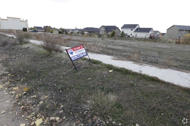
11230 W Hercules Dr, Star, ID 83669


Property Detail
11230 W Hercules Dr
R1341270010
LOT 01 BLK 01 CELESTIAL VILLAGE NO 01 SUB
Commercialbuilding
Ada
C-1
Idaho
B and X Area of moderate flood hazard, usually the area between the limits of the 100-year and 500-year floods.
01
2024
0.40 AC
2025
Star
010228
Boise City/Nampa
4,850 SF
Boise City, ID
NEARBY LISTINGS FOR SALE OR LEASE
DEMOGRAPHICS near 11230 W Hercules Dr
1 mile
3 mile
5 mile
2024 Total Population
5,706
23,250
64,543
2029 Population
6,059
25,489
70,424
Pop Growth 2024-2029
+ 6.19%
+ 9.63%
+ 9.11%
Average Age
42
42
41
2024 Total Households
2,100
8,160
21,773
HH Growth 2024-2029
+ 6.57%
+ 9.89%
+ 9.56%
Median Household Inc
$84,114
$108,220
$107,978
Avg Household Size
2.70
2.80
2.90
2024 Avg HH Vehicles
2.00
2.00
2.00
Median Home Value
$565,819
$668,873
$662,587
Median Year Built
2009
2010
2010
Nearby Places
Map Layers
Map Styles
 Street
 Aerial
Transit
 Traffic
 Biking
Places
Listings with unknown addresses are not visible on the map
- Restaurants
- Banks
- Shops
- Fitness
- Groceries
SALE & LEASE HISTORY
LISTING DATE
SALE/LEASE

Oct 05, 2016
For Sale
Nearby Properties
Address
Land Use
TOTAL SIZE
Lot Size
Zoning
Address
Land Use
TOTAL SIZE
Lot Size
Zoning
27,975 SF
40.88 AC
Address
Land Use
TOTAL SIZE
Lot Size
Zoning
17.46 AC
R-15
Address
Land Use
TOTAL SIZE
Lot Size
Zoning
15.16 AC
R-14-DA
Address
Land Use
TOTAL SIZE
Lot Size
Zoning
178,710 SF
13.47 AC
R-13
Address
Land Use
TOTAL SIZE
Lot Size
Zoning
227,392 SF
4.40 AC
L-O
Address
Land Use
TOTAL SIZE
Lot Size
Zoning
96,860 SF
12.62 AC
LI-DA
Address
Land Use
TOTAL SIZE
Lot Size
Zoning
174,428 SF
10 AC
MU
Address
Land Use
TOTAL SIZE
Lot Size
Zoning
246,075 SF
11.16 AC
C-2
Address
Land Use
TOTAL SIZE
Lot Size
Zoning
56,420 SF
10.27 AC
M1
Address
Land Use
TOTAL SIZE
Lot Size
Zoning
20,595 SF
2.32 AC
MU
Address
Land Use
TOTAL SIZE
Lot Size
Zoning
63,346 SF
6.87 AC
C-2
Address
Land Use
TOTAL SIZE
Lot Size
Zoning
132,187 SF
7.47 AC
MU
Address
Land Use
TOTAL SIZE
Lot Size
Zoning
58,697 SF
4.86 AC
CBD-DA
Address
Land Use
TOTAL SIZE
Lot Size
Zoning
34,510 SF
3.20 AC
C-2
Address
Land Use
TOTAL SIZE
Lot Size
Zoning
12.14 AC
C-G
Address
Land Use
TOTAL SIZE
Lot Size
Zoning
6,683 SF
9.62 AC
C-1-DA
Address
Land Use
TOTAL SIZE
Lot Size
Zoning
52.23 AC
R-3
Address
Land Use
TOTAL SIZE
Lot Size
Zoning
1,940 SF
31.43 AC
R-2-DA
Address
Land Use
TOTAL SIZE
Lot Size
Zoning
4,839 SF
0.77 AC
CBD
Address
Land Use
TOTAL SIZE
Lot Size
Zoning
38,414 SF
4.66 AC
R-8
Address
Land Use
TOTAL SIZE
Lot Size
Zoning
946 SF
19.93 AC
R-4
Address
Land Use
TOTAL SIZE
Lot Size
Zoning
4,041 SF
0.60 AC
C-2
Address
Land Use
TOTAL SIZE
Lot Size
Zoning
12.78 AC
R-4-DA
Address
Land Use
TOTAL SIZE
Lot Size
Zoning
5.20 AC
C-C
Address
Land Use
TOTAL SIZE
Lot Size
Zoning
5.15 AC
C-G
Address
Land Use
TOTAL SIZE
Lot Size
Zoning
8,226 SF
1.74 AC
CBD-DA
Address
Land Use
TOTAL SIZE
Lot Size
Zoning
7,129 SF
1.11 AC
C-2
Address
Land Use
TOTAL SIZE
Lot Size
Zoning
9,294 SF
1.07 AC
MU-DA
Address
Land Use
TOTAL SIZE
Lot Size
Zoning
5,215 SF
0.93 AC
C-1-DA
Address
Land Use
TOTAL SIZE
Lot Size
Zoning
4,268 SF
0.93 AC
CBD
The World's #1 Commercial Real Estate Marketplace
Connect with us
© 2026 CoStar Group
The information above has been obtained from sources believed reliable. While we do not doubt its accuracy we have not verified it and make no guarantee, warranty or representation about it. It is your responsibility to independently confirm its accuracy and completeness. Any projections, opinions, assumptions, or estimates used are for example only and do not represent the current or future performance of the property. The value of this transaction to you depends on tax and other factors which should be evaluated by your tax, financial, and legal advisors. You and your advisors should conduct a careful, independent investigation of the property to determine to your satisfaction the suitability of the property for your needs.