Property Record
1128 Dunbar Rd, Warner Robins, GA 31093

NEARBY LISTINGS FOR SALE OR LEASE
Property Detail
1128 Dunbar Rd
Warner Robins, GA
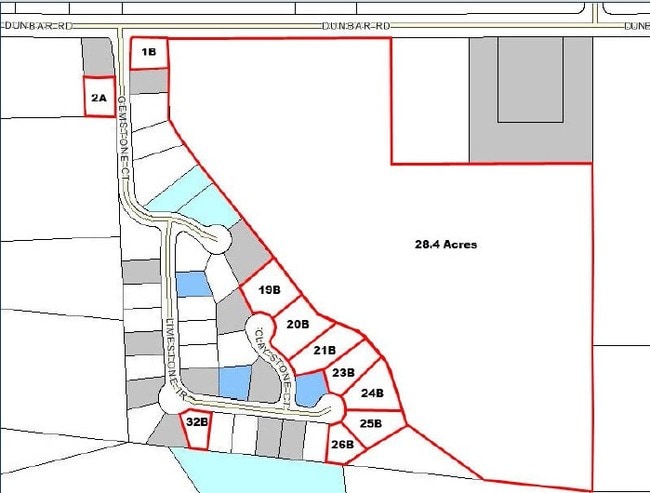
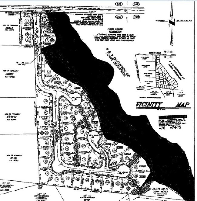
PT PARCEL A 15.835 ACRES 100/5TH
0C0180087000
Houston
Residentialacreage
Georgia
AE
100
13021C0240G
15.84 AC
2024
Perry/Warner Robins
2024
Other Market Areas
020108
DEMOGRAPHICS near 1128 Dunbar Rd
1 Mile
3 Mile
5 Mile
2024 Total Population
2,360
33,403
79,778
2029 Population
2,455
35,160
83,825
Pop Growth 2024-2029
+ 4.03%
+ 5.26%
+ 5.07%
Average Age
42
39
39
2024 Total Households
934
13,429
31,817
HH Growth 2024-2029
+ 3.96%
+ 5.26%
+ 5.11%
Median Household Inc
$70,212
$59,685
$62,575
Avg Household Size
2.50
2.40
2.40
2024 Avg HH Vehicles
2.00
2.00
2.00
Median Home Value
$142,354
$167,950
$167,759
Median Year Built
1982
1984
1985
Nearby Places
Map Layers
Map Styles
 Street
 Aerial
- Restaurants
- Banks
- Shops
- Fitness
- Groceries
Nearby Properties
Address
Land Use
TOTAL SIZE
Lot Size
Zoning
Address
Land Use
TOTAL SIZE
Lot Size
Zoning
11,088 SF
59.57 AC
M-2
Address
Land Use
TOTAL SIZE
Lot Size
Zoning
27,504 SF
26.31 AC
PUD
Address
Land Use
TOTAL SIZE
Lot Size
Zoning
226,032 SF
49.90 AC
C2
Address
Land Use
TOTAL SIZE
Lot Size
Zoning
11,056 SF
17.41 AC
R4
Address
Land Use
TOTAL SIZE
Lot Size
Zoning
10,000 SF
1,163 AC
R-AG
Address
Land Use
TOTAL SIZE
Lot Size
Zoning
18,954 SF
20 AC
C2
Address
Land Use
TOTAL SIZE
Lot Size
Zoning
92,930 SF
18.66 AC
C2
Address
Land Use
TOTAL SIZE
Lot Size
Zoning
158,300 SF
29.99 AC
R1
Address
Land Use
TOTAL SIZE
Lot Size
Zoning
223,608 SF
22.40 AC
C2
Address
Land Use
TOTAL SIZE
Lot Size
Zoning
132,851 SF
24.05 AC
C2
Address
Land Use
TOTAL SIZE
Lot Size
Zoning
90,000 SF
12 AC
R1
Address
Land Use
TOTAL SIZE
Lot Size
Zoning
125,412 SF
9.82 AC
C2
Address
Land Use
TOTAL SIZE
Lot Size
Zoning
84,909 SF
8.64 AC
C2
Address
Land Use
TOTAL SIZE
Lot Size
Zoning
70,500 SF
18.47 AC
R1
Address
Land Use
TOTAL SIZE
Lot Size
Zoning
100,000 SF
32.51 AC
M-2
Address
Land Use
TOTAL SIZE
Lot Size
Zoning
108,500 SF
10.85 AC
C2
Address
Land Use
TOTAL SIZE
Lot Size
Zoning
47,568 SF
1.51 AC
C-3
Address
Land Use
TOTAL SIZE
Lot Size
Zoning
108,075 SF
10.55 AC
R2
Address
Land Use
TOTAL SIZE
Lot Size
Zoning
42,056 SF
2.14 AC
C-3
Address
Land Use
TOTAL SIZE
Lot Size
Zoning
62,600 SF
4.35 AC
C2
Address
Land Use
TOTAL SIZE
Lot Size
Zoning
44,400 SF
8.28 AC
C2
Address
Land Use
TOTAL SIZE
Lot Size
Zoning
34,501 SF
6.82 AC
M2
Address
Land Use
TOTAL SIZE
Lot Size
Zoning
19,613 SF
5.85 AC
C2
Address
Land Use
TOTAL SIZE
Lot Size
Zoning
50,571 SF
2.02 AC
C2
Address
Land Use
TOTAL SIZE
Lot Size
Zoning
35,940 SF
18.96 AC
C2
Address
Land Use
TOTAL SIZE
Lot Size
Zoning
35,004 SF
1.45 AC
C-3
Address
Land Use
TOTAL SIZE
Lot Size
Zoning
54,773 SF
4.48 AC
C2
Address
Land Use
TOTAL SIZE
Lot Size
Zoning
29,574 SF
5.41 AC
C2
Address
Land Use
TOTAL SIZE
Lot Size
Zoning
56,818 SF
4.18 AC
C2
Address
Land Use
TOTAL SIZE
Lot Size
Zoning
19,440 SF
28.87 AC
M-1
The World's #1 Commercial Real Estate Marketplace
Connect with us
© 2025 CoStar Group
The information above has been obtained from sources believed reliable. While we do not doubt its accuracy we have not verified it and make no guarantee, warranty or representation about it. It is your responsibility to independently confirm its accuracy and completeness. Any projections, opinions, assumptions, or estimates used are for example only and do not represent the current or future performance of the property. The value of this transaction to you depends on tax and other factors which should be evaluated by your tax, financial, and legal advisors. You and your advisors should conduct a careful, independent investigation of the property to determine to your satisfaction the suitability of the property for your needs.