Property Record
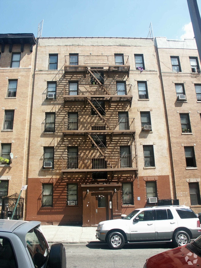
1130 College Ave, Bronx, NY 10456
Property Detail
1130 College Ave
02434-0010
Bronx
Multifamilydwelling
New York
R7-1
10
B and X Area of moderate flood hazard, usually the area between the limits of the 100-year and 500-year floods.
0.09 AC
0
Fleetwood-Concourse Village
2025
Westchester/So Connecticut
017500
New York-Jersey City-White Plains, NY-NJ
11,040 SF
NEARBY LISTINGS FOR SALE OR LEASE
DEMOGRAPHICS near 1130 College Ave
1 mile
3 mile
5 mile
2025 Total Population
242,006
1,306,993
2,450,222
2030 Population
238,864
1,315,753
2,463,965
Pop Growth 2025-2030
(1.30%)
+ 0.67%
+ 0.56%
Average Age
37
39
40
2025 Total Households
82,535
472,340
953,142
HH Growth 2025-2030
(1.85%)
+ 0.79%
+ 0.84%
Median Household Inc
$36,019
$44,235
$62,989
Avg Household Size
2.70
2.60
2.40
2025 Avg HH Vehicles
.00
.00
.00
Median Home Value
$336,901
$565,865
$748,613
Median Year Built
1960
1950
1952
Nearby Places
Map Layers
Map Styles
 Street
 Aerial
Transit
 Traffic
 Biking
Places
Listings with unknown addresses are not visible on the map
- Restaurants
- Banks
- Shops
- Fitness
- Groceries
PUBLIC TRANSPORTATION
TRANSIT/SUBWAY
167 Street (B,D Line) (B - New York MTA Subway (The Subway), D - New York MTA Subway (The Subway))
Drive
Walk
Distance
167 Street (B,D Line) (B - New York MTA Subway (The Subway), D - New York MTA Subway (The Subway))
1 min
8 min
0.4 mi
167 Street (4 Line) (4 - New York MTA Subway (The Subway))
Drive
Walk
Distance
167 Street (4 Line) (4 - New York MTA Subway (The Subway))
1 min
11 min
0.6 mi
170 Street (B,D Line) (B - New York MTA Subway (The Subway), D - New York MTA Subway (The Subway))
Drive
Walk
Distance
170 Street (B,D Line) (B - New York MTA Subway (The Subway), D - New York MTA Subway (The Subway))
2 min
13 min
0.7 mi
161 Street-Yankee Stadium (4 - New York MTA Subway (The Subway), B - New York MTA Subway (The Subway), D - New York MTA Subway (The Subway))
Drive
Walk
Distance
161 Street-Yankee Stadium (4 - New York MTA Subway (The Subway), B - New York MTA Subway (The Subway), D - New York MTA Subway (The Subway))
3 min
16 min
0.9 mi
170 Street (4 Line) (4 - New York MTA Subway (The Subway))
Drive
Walk
Distance
170 Street (4 Line) (4 - New York MTA Subway (The Subway))
2 min
17 min
0.9 mi
COMMUTER RAIL
Melrose Station (Harlem Line - Metro-North Commuter Railroad Company (Metro-North))
Drive
Walk
Distance
Melrose Station (Harlem Line - Metro-North Commuter Railroad Company (Metro-North))
2 min
8 min
0.4 mi
Yankees-E 153Rd Street Station (Hudson Line - Metro-North Commuter Railroad Company (Metro-North))
Drive
Walk
Distance
Yankees-E 153Rd Street Station (Hudson Line - Metro-North Commuter Railroad Company (Metro-North))
7 min
3.3 mi
AIRPORT
LaGuardia
Drive
Walk
Distance
LaGuardia
18 min
8.9 mi
John F Kennedy International
Drive
Walk
Distance
John F Kennedy International
30 min
20.7 mi
Newark Liberty International
Drive
Walk
Distance
Newark Liberty International
28 min
22.9 mi
Freight Ports
NY - Red Hook Container Terminal
Drive
Walk
Distance
NY - Red Hook Container Terminal
31 min
17.1 mi
The World's #1 Commercial Real Estate Marketplace
Connect with us
© 2026 CoStar Group
The information above has been obtained from sources believed reliable. While we do not doubt its accuracy we have not verified it and make no guarantee, warranty or representation about it. It is your responsibility to independently confirm its accuracy and completeness. Any projections, opinions, assumptions, or estimates used are for example only and do not represent the current or future performance of the property. The value of this transaction to you depends on tax and other factors which should be evaluated by your tax, financial, and legal advisors. You and your advisors should conduct a careful, independent investigation of the property to determine to your satisfaction the suitability of the property for your needs.