Property Record
1130 E Old Brickyard Rd, Irmo, SC 29063
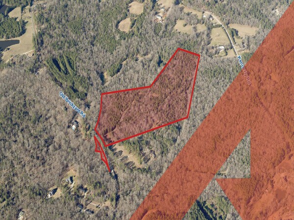

Property Detail
1130 E Old Brickyard Rd
04300-03-25
PART PARCEL B #SU #PR J-173
Agriculturalland
RICHLAND
RU
South Carolina
AE The base floodplain where base flood elevations are provided. AE Zones are now used on new format FIRMs instead of A1-A30 Zones.
24.80 AC
2025
Dutch Fork/Irmo
2023
Columbia
010313
Columbia, SC
1,254 SF
NEARBY LISTINGS FOR SALE OR LEASE
DEMOGRAPHICS near 1130 E Old Brickyard Rd
1 mile
3 mile
5 mile
2025 Total Population
1,904
15,161
44,875
2030 Population
2,007
15,608
46,066
Pop Growth 2025-2030
+ 5.41%
+ 2.95%
+ 2.65%
Average Age
40
39
40
2025 Total Households
681
5,309
16,799
HH Growth 2025-2030
+ 5.58%
+ 3.11%
+ 2.76%
Median Household Inc
$101,172
$108,024
$99,184
Avg Household Size
2.80
2.80
2.60
2025 Avg HH Vehicles
3.00
2.00
2.00
Median Home Value
$294,317
$301,670
$283,924
Median Year Built
2004
2002
1996
Nearby Places
Map Layers
Map Styles
 Street
 Aerial
Transit
 Traffic
 Biking
Places
Listings with unknown addresses are not visible on the map
- Restaurants
- Banks
- Shops
- Fitness
- Groceries
PUBLIC TRANSPORTATION
AIRPORT
Columbia Metro
Drive
Walk
Distance
Columbia Metro
44 min
22.5 mi
Freight Ports
North Charleston Terminal
Drive
Walk
Distance
North Charleston Terminal
144 min
118.8 mi
SALE & LEASE HISTORY
LISTING DATE
SALE/LEASE

Apr 12, 2018
For Sale
Nearby Properties
Address
Land Use
TOTAL SIZE
Lot Size
Zoning
Address
Land Use
TOTAL SIZE
Lot Size
Zoning
3,957 SF
20.32 AC
GC
Address
Land Use
TOTAL SIZE
Lot Size
Zoning
191,009 SF
28.02 AC
CG
Address
Land Use
TOTAL SIZE
Lot Size
Zoning
9.83 AC
CG
Address
Land Use
TOTAL SIZE
Lot Size
Zoning
8.57 AC
CG
Address
Land Use
TOTAL SIZE
Lot Size
Zoning
11,917 SF
5.72 AC
RU
Address
Land Use
TOTAL SIZE
Lot Size
Zoning
24,049 SF
5.13 AC
CG
Address
Land Use
TOTAL SIZE
Lot Size
Zoning
24,049 SF
4.30 AC
CG
Address
Land Use
TOTAL SIZE
Lot Size
Zoning
10 AC
PDD
Address
Land Use
TOTAL SIZE
Lot Size
Zoning
3,565 SF
2.75 AC
CG
Address
Land Use
TOTAL SIZE
Lot Size
Zoning
14.62 AC
M-1
Address
Land Use
TOTAL SIZE
Lot Size
Zoning
15,750 SF
5.83 AC
PDD
Address
Land Use
TOTAL SIZE
Lot Size
Zoning
19,320 SF
4.08 AC
GC
Address
Land Use
TOTAL SIZE
Lot Size
Zoning
3,830 SF
3 AC
M-1
Address
Land Use
TOTAL SIZE
Lot Size
Zoning
6,174 SF
1.38 AC
GC
Address
Land Use
TOTAL SIZE
Lot Size
Zoning
11,327 SF
2.66 AC
GC
Address
Land Use
TOTAL SIZE
Lot Size
Zoning
8,112 SF
2.43 AC
GC
Address
Land Use
TOTAL SIZE
Lot Size
Zoning
361.16 AC
RD-1
Address
Land Use
TOTAL SIZE
Lot Size
Zoning
7,692 SF
18.09 AC
PDD
Address
Land Use
TOTAL SIZE
Lot Size
Zoning
9,100 SF
5.30 AC
GC
Address
Land Use
TOTAL SIZE
Lot Size
Zoning
3,870 SF
1.21 AC
GC
Address
Land Use
TOTAL SIZE
Lot Size
Zoning
6,766 SF
2.14 AC
RU
Address
Land Use
TOTAL SIZE
Lot Size
Zoning
8,242 SF
1.89 AC
M-1
Address
Land Use
TOTAL SIZE
Lot Size
Zoning
9,362 SF
2.69 AC
GC
Address
Land Use
TOTAL SIZE
Lot Size
Zoning
8,454 SF
1.01 AC
RU
Address
Land Use
TOTAL SIZE
Lot Size
Zoning
14,026 SF
1.64 AC
GC
Address
Land Use
TOTAL SIZE
Lot Size
Zoning
2,448 SF
0.93 AC
CG
Address
Land Use
TOTAL SIZE
Lot Size
Zoning
36,082 SF
4.29 AC
M-1
Address
Land Use
TOTAL SIZE
Lot Size
Zoning
3,342 SF
1.04 AC
CG
Address
Land Use
TOTAL SIZE
Lot Size
Zoning
1,843 SF
2.54 AC
GC
Address
Land Use
TOTAL SIZE
Lot Size
Zoning
4,800 SF
1.46 AC
CG
The World's #1 Commercial Real Estate Marketplace
Connect with us
© 2026 CoStar Group
The information above has been obtained from sources believed reliable. While we do not doubt its accuracy we have not verified it and make no guarantee, warranty or representation about it. It is your responsibility to independently confirm its accuracy and completeness. Any projections, opinions, assumptions, or estimates used are for example only and do not represent the current or future performance of the property. The value of this transaction to you depends on tax and other factors which should be evaluated by your tax, financial, and legal advisors. You and your advisors should conduct a careful, independent investigation of the property to determine to your satisfaction the suitability of the property for your needs.