Property Record
114 Cherry Ln, Riverside, IA 52327
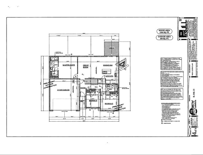


Property Detail
114 Cherry Ln
Iowa City, IA
11 CHERRY LANE ADD
04-08-358-011
Washington
Residentialacreage
Iowa
B and X Area of moderate flood hazard, usually the area between the limits of the 100-year and 500-year floods.
011
2025
0.22 AC
2025
Iowa Southeast Area
960102
Other Market Areas
NEARBY LISTINGS FOR SALE OR LEASE
-
-
View all Riverside listings for sale on LoopNet.com
DEMOGRAPHICS near 114 Cherry Ln
1 mile
3 mile
5 mile
2025 Total Population
966
2,011
3,185
2030 Population
956
2,009
3,204
Pop Growth 2025-2030
(1.04%)
(0.10%)
+ 0.60%
Average Age
41
41
41
2025 Total Households
417
832
1,261
HH Growth 2025-2030
(1.20%)
(0.24%)
+ 0.48%
Median Household Inc
$71,802
$78,741
$85,816
Avg Household Size
2.30
2.40
2.50
2025 Avg HH Vehicles
2.00
2.00
2.00
Median Home Value
$272,560
$292,856
$310,606
Median Year Built
1956
1967
1972
Nearby Places
Map Layers
Map Styles
 Street
 Aerial
Layers
 Traffic
 Biking
Places
Listings with unknown addresses are not visible on the map
- Restaurants
- Banks
- Shops
- Fitness
- Groceries
PUBLIC TRANSPORTATION
AIRPORT
The Eastern Iowa
Drive
Walk
Distance
The Eastern Iowa
45 min
34.8 mi
Freight Ports
Port Milwaukee
Drive
Walk
Distance
Port Milwaukee
316 min
273.9 mi
SALE & LEASE HISTORY
LISTING DATE
SALE/LEASE

Mar 08, 2021
For Sale
Nearby Properties
Address
Land Use
TOTAL SIZE
Lot Size
Zoning
Address
Land Use
TOTAL SIZE
Lot Size
Zoning
118,835 SF
381.49 AC
UR
Address
Land Use
TOTAL SIZE
Lot Size
Zoning
24,226 SF
11.28 AC
Address
Land Use
TOTAL SIZE
Lot Size
Zoning
7,458 SF
3 AC
Address
Land Use
TOTAL SIZE
Lot Size
Zoning
5,060 SF
3.50 AC
Address
Land Use
TOTAL SIZE
Lot Size
Zoning
5,886 SF
3 AC
Address
Land Use
TOTAL SIZE
Lot Size
Zoning
4,866 SF
0.96 AC
Address
Land Use
TOTAL SIZE
Lot Size
Zoning
2,304 SF
2.63 AC
Address
Land Use
TOTAL SIZE
Lot Size
Zoning
13,600 SF
2.35 AC
Address
Land Use
TOTAL SIZE
Lot Size
Zoning
8,950 SF
2.52 AC
Address
Land Use
TOTAL SIZE
Lot Size
Zoning
2,480 SF
52 AC
Address
Land Use
TOTAL SIZE
Lot Size
Zoning
7,200 SF
Address
Land Use
TOTAL SIZE
Lot Size
Zoning
3,400 SF
0.61 AC
Address
Land Use
TOTAL SIZE
Lot Size
Zoning
3,456 SF
0.41 AC
Address
Land Use
TOTAL SIZE
Lot Size
Zoning
7,680 SF
4.50 AC
AR
Address
Land Use
TOTAL SIZE
Lot Size
Zoning
2,361 SF
0.83 AC
AR
Address
Land Use
TOTAL SIZE
Lot Size
Zoning
7,044 SF
1.22 AC
Address
Land Use
TOTAL SIZE
Lot Size
Zoning
6,263 SF
0.75 AC
Address
Land Use
TOTAL SIZE
Lot Size
Zoning
3,920 SF
9.12 AC
Address
Land Use
TOTAL SIZE
Lot Size
Zoning
3,024 SF
16.52 AC
Address
Land Use
TOTAL SIZE
Lot Size
Zoning
3,200 SF
8.76 AC
UR
Address
Land Use
TOTAL SIZE
Lot Size
Zoning
4,128 SF
0.09 AC
Address
Land Use
TOTAL SIZE
Lot Size
Zoning
2,393 SF
1.05 AC
Address
Land Use
TOTAL SIZE
Lot Size
Zoning
1,120 SF
5.53 AC
UR
Address
Land Use
TOTAL SIZE
Lot Size
Zoning
5,076 SF
4.14 AC
Address
Land Use
TOTAL SIZE
Lot Size
Zoning
6,952 SF
0.72 AC
UR
Address
Land Use
TOTAL SIZE
Lot Size
Zoning
11,288 SF
2.46 AC
UR
Address
Land Use
TOTAL SIZE
Lot Size
Zoning
1,993 SF
0.18 AC
Address
Land Use
TOTAL SIZE
Lot Size
Zoning
0.34 AC
Address
Land Use
TOTAL SIZE
Lot Size
Zoning
1,630 SF
1.06 AC
Address
Land Use
TOTAL SIZE
Lot Size
Zoning
2,166 SF
18.67 AC
A
The World's #1 Commercial Real Estate Marketplace
Connect with us
© 2026 CoStar Group
The information above has been obtained from sources believed reliable. While we do not doubt its accuracy we have not verified it and make no guarantee, warranty or representation about it. It is your responsibility to independently confirm its accuracy and completeness. Any projections, opinions, assumptions, or estimates used are for example only and do not represent the current or future performance of the property. The value of this transaction to you depends on tax and other factors which should be evaluated by your tax, financial, and legal advisors. You and your advisors should conduct a careful, independent investigation of the property to determine to your satisfaction the suitability of the property for your needs.