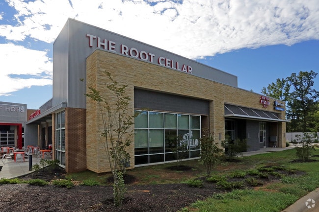
Property Record
33 Suttles Rd, Pittsboro, NC 27312
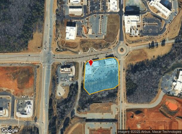
NEARBY LISTINGS FOR SALE OR LEASE
Property Detail
33 Suttles Rd
Durham-Chapel Hill, NC
Hwy 64/15-501 Bypass
0091257
LOT 1 AC 2.75 BK 2017 PG 140
Realpropertynec
Chatham
X
North Carolina
3710975200J
1
2025
2.75 AC
2025
Chatham County
020802
Raleigh/Durham
6,228 SF
DEMOGRAPHICS near 33 Suttles Rd
1 Mile
3 Mile
5 Mile
2024 Total Population
2,275
7,473
16,330
2029 Population
2,661
8,644
18,596
Pop Growth 2024-2029
+ 16.97%
+ 15.67%
+ 13.88%
Average Age
43
44
46
2024 Total Households
974
3,160
6,842
HH Growth 2024-2029
+ 17.25%
+ 15.79%
+ 13.78%
Median Household Inc
$40,897
$55,000
$82,734
Avg Household Size
2.30
2.30
2.30
2024 Avg HH Vehicles
2.00
2.00
2.00
Median Home Value
$334,558
$327,115
$378,136
Median Year Built
2006
2001
2000
Nearby Places
- Restaurants
- Banks
- Shops
- Fitness
- Groceries
SALE & LEASE HISTORY
LISTING DATE
SALE/LEASE

Jul 06, 2017
For Lease
Feb 11, 2025
For Lease
Nearby Properties
Address
Land Use
TOTAL SIZE
Lot Size
Zoning
Address
Land Use
TOTAL SIZE
Lot Size
Zoning
28,802 SF
16.44 AC
MUPD
Address
Land Use
TOTAL SIZE
Lot Size
Zoning
4,611 SF
15.78 AC
MUPD
Address
Land Use
TOTAL SIZE
Lot Size
Zoning
177,705 SF
3.75 AC
PDD
Address
Land Use
TOTAL SIZE
Lot Size
Zoning
152,146 SF
91.16 AC
R-A-2
Address
Land Use
TOTAL SIZE
Lot Size
Zoning
78,416 SF
3.05 AC
PDD
Address
Land Use
TOTAL SIZE
Lot Size
Zoning
89,964 SF
11.24 AC
C-2
Address
Land Use
TOTAL SIZE
Lot Size
Zoning
60,000 SF
6.59 AC
PDD
Address
Land Use
TOTAL SIZE
Lot Size
Zoning
1,809 SF
R-1
Address
Land Use
TOTAL SIZE
Lot Size
Zoning
37,836 SF
24.70 AC
Address
Land Use
TOTAL SIZE
Lot Size
Zoning
139,350 SF
19.85 AC
C-2
Address
Land Use
TOTAL SIZE
Lot Size
Zoning
52,032 SF
6.40 AC
MUPD
Address
Land Use
TOTAL SIZE
Lot Size
Zoning
34,430 SF
53.71 AC
O-I
Address
Land Use
TOTAL SIZE
Lot Size
Zoning
530.55 AC
PIETJ
Address
Land Use
TOTAL SIZE
Lot Size
Zoning
37,358 SF
15.49 AC
PDD
Address
Land Use
TOTAL SIZE
Lot Size
Zoning
31,230 SF
24.23 AC
O-I
Address
Land Use
TOTAL SIZE
Lot Size
Zoning
2,900 SF
28.48 AC
M-1
Address
Land Use
TOTAL SIZE
Lot Size
Zoning
19,611 SF
2.03 AC
O-I
Address
Land Use
TOTAL SIZE
Lot Size
Zoning
23,658 SF
1.31 AC
PDD
Address
Land Use
TOTAL SIZE
Lot Size
Zoning
50,495 SF
7.20 AC
O-I
Address
Land Use
TOTAL SIZE
Lot Size
Zoning
41,352 SF
4.75 AC
R-12
Address
Land Use
TOTAL SIZE
Lot Size
Zoning
32,536 SF
1.68 AC
PDD
Address
Land Use
TOTAL SIZE
Lot Size
Zoning
26,576 SF
3.13 AC
PDD
Address
Land Use
TOTAL SIZE
Lot Size
Zoning
292.77 AC
PIETJ
Address
Land Use
TOTAL SIZE
Lot Size
Zoning
299.26 AC
PDD
Address
Land Use
TOTAL SIZE
Lot Size
Zoning
1,424 SF
7.01 AC
C-2
Address
Land Use
TOTAL SIZE
Lot Size
Zoning
2,193 SF
5.76 AC
PDD
Address
Land Use
TOTAL SIZE
Lot Size
Zoning
71.33 AC
PDD
Address
Land Use
TOTAL SIZE
Lot Size
Zoning
48,725 SF
6.54 AC
C-2
Address
Land Use
TOTAL SIZE
Lot Size
Zoning
17,906 SF
2.89 AC
PDD
Address
Land Use
TOTAL SIZE
Lot Size
Zoning
20,049 SF
4.42 AC
C-2
The World's #1 Commercial Real Estate Marketplace
Connect with us
© 2025 CoStar Group
The information above has been obtained from sources believed reliable. While we do not doubt its accuracy we have not verified it and make no guarantee, warranty or representation about it. It is your responsibility to independently confirm its accuracy and completeness. Any projections, opinions, assumptions, or estimates used are for example only and do not represent the current or future performance of the property. The value of this transaction to you depends on tax and other factors which should be evaluated by your tax, financial, and legal advisors. You and your advisors should conduct a careful, independent investigation of the property to determine to your satisfaction the suitability of the property for your needs.