Property Record
115 E Butler Ave, Doylestown, PA 18901


Property Detail
115 E Butler Ave
07-008-001
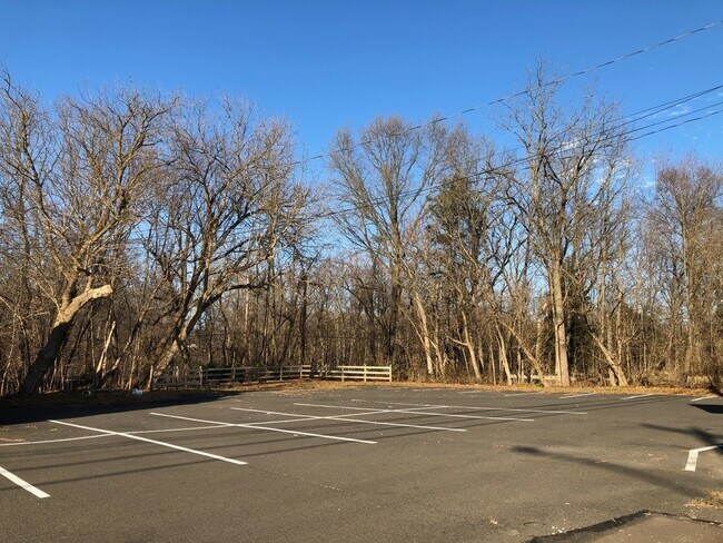
1.3AC N S US202 1693 FT W BRISTOL RD 245X204
Vacantlandnec
BUCKS
CC
Pennsylvania
AE The base floodplain where base flood elevations are provided. AE Zones are now used on new format FIRMs instead of A1-A30 Zones.
1.30 AC
2024
Upper Bucks County
2025
Philadelphia
104800
Philadelphia-Camden-Wilmington, PA-NJ-DE-MD
1,507 SF
NEARBY LISTINGS FOR SALE OR LEASE
DEMOGRAPHICS near 115 E Butler Ave
1 mile
3 mile
5 mile
2025 Total Population
7,289
37,573
120,451
2030 Population
7,478
38,050
123,278
Pop Growth 2025-2030
+ 2.59%
+ 1.27%
+ 2.35%
Average Age
42
42
43
2025 Total Households
2,769
13,244
44,589
HH Growth 2025-2030
+ 3.07%
+ 1.37%
+ 2.39%
Median Household Inc
$137,424
$138,086
$118,338
Avg Household Size
2.60
2.70
2.60
2025 Avg HH Vehicles
2.00
2.00
2.00
Median Home Value
$466,296
$506,512
$520,183
Median Year Built
1979
1984
1985
Nearby Places
Map Layers
Map Styles
 Street
 Aerial
Transit
 Traffic
 Biking
Places
Listings with unknown addresses are not visible on the map
- Restaurants
- Banks
- Shops
- Fitness
- Groceries
PUBLIC TRANSPORTATION
TRANSIT/SUBWAY
Chalfont (R5 - Southeastern Pennsylvania Transportation Authority Regional Rail (SEPTA Regional Rail))
Drive
Walk
Distance
Chalfont (R5 - Southeastern Pennsylvania Transportation Authority Regional Rail (SEPTA Regional Rail))
2 min
11 min
0.5 mi
COMMUTER RAIL
Chalfont (R5 - Southeastern Pennsylvania Transportation Authority Regional Rail (SEPTA Regional Rail))
Drive
Walk
Distance
Chalfont (R5 - Southeastern Pennsylvania Transportation Authority Regional Rail (SEPTA Regional Rail))
2 min
10 min
0.5 mi
New Britain (R5 - Southeastern Pennsylvania Transportation Authority Regional Rail (SEPTA Regional Rail))
Drive
Walk
Distance
New Britain (R5 - Southeastern Pennsylvania Transportation Authority Regional Rail (SEPTA Regional Rail))
4 min
1.5 mi
AIRPORT
Trenton Mercer
Drive
Walk
Distance
Trenton Mercer
47 min
26.6 mi
Lehigh Valley International
Drive
Walk
Distance
Lehigh Valley International
59 min
34.8 mi
Philadelphia International
Drive
Walk
Distance
Philadelphia International
65 min
37.9 mi
Freight Ports
Port of Philadelphia
Drive
Walk
Distance
Port of Philadelphia
46 min
26.6 mi
SALE & LEASE HISTORY
LISTING DATE
SALE/LEASE

Jan 21, 2021
For Sale
Nearby Properties
Address
Land Use
TOTAL SIZE
Lot Size
Zoning
Address
Land Use
TOTAL SIZE
Lot Size
Zoning
89,349 SF
18.11 AC
R1
Address
Land Use
TOTAL SIZE
Lot Size
Zoning
380,875 SF
40.10 AC
LI
Address
Land Use
TOTAL SIZE
Lot Size
Zoning
72,937 SF
42.19 AC
CR
Address
Land Use
TOTAL SIZE
Lot Size
Zoning
79,335 SF
11.50 AC
LI
Address
Land Use
TOTAL SIZE
Lot Size
Zoning
361,858 SF
27.82 AC
LI
Address
Land Use
TOTAL SIZE
Lot Size
Zoning
65,000 SF
6.08 AC
LI
Address
Land Use
TOTAL SIZE
Lot Size
Zoning
26,024 SF
3.29 AC
LI
Address
Land Use
TOTAL SIZE
Lot Size
Zoning
76,560 SF
11.51 AC
LI
Address
Land Use
TOTAL SIZE
Lot Size
Zoning
30,939 SF
28.69 AC
I
Address
Land Use
TOTAL SIZE
Lot Size
Zoning
33,337 SF
14.88 AC
C3
Address
Land Use
TOTAL SIZE
Lot Size
Zoning
144,419 SF
21.13 AC
C2
Address
Land Use
TOTAL SIZE
Lot Size
Zoning
344,604 SF
6.95 AC
LI
Address
Land Use
TOTAL SIZE
Lot Size
Zoning
23,500 SF
7.65 AC
R1
Address
Land Use
TOTAL SIZE
Lot Size
Zoning
35,660 SF
5 AC
BP
Address
Land Use
TOTAL SIZE
Lot Size
Zoning
52,500 SF
4.15 AC
LI
Address
Land Use
TOTAL SIZE
Lot Size
Zoning
12,150 SF
5.60 AC
C
Address
Land Use
TOTAL SIZE
Lot Size
Zoning
3,105 SF
1.96 AC
C
Address
Land Use
TOTAL SIZE
Lot Size
Zoning
20,800 SF
2.34 AC
LI
Address
Land Use
TOTAL SIZE
Lot Size
Zoning
25,372 SF
32 AC
R6
Address
Land Use
TOTAL SIZE
Lot Size
Zoning
24,000 SF
2.25 AC
LI
Address
Land Use
TOTAL SIZE
Lot Size
Zoning
58,942 SF
9.07 AC
LI
Address
Land Use
TOTAL SIZE
Lot Size
Zoning
346,977 SF
45.25 AC
I
Address
Land Use
TOTAL SIZE
Lot Size
Zoning
24,124 SF
1.80 AC
LI
Address
Land Use
TOTAL SIZE
Lot Size
Zoning
24,160 SF
6.50 AC
LI
Address
Land Use
TOTAL SIZE
Lot Size
Zoning
11,159 SF
304.23 AC
Q
Address
Land Use
TOTAL SIZE
Lot Size
Zoning
44,924 SF
6.24 AC
LI
Address
Land Use
TOTAL SIZE
Lot Size
Zoning
36,165 SF
2.90 AC
LI
Address
Land Use
TOTAL SIZE
Lot Size
Zoning
70,392 SF
2.47 AC
C3
Address
Land Use
TOTAL SIZE
Lot Size
Zoning
68,700 SF
8.41 AC
C3
Address
Land Use
TOTAL SIZE
Lot Size
Zoning
60,880 SF
4 AC
CP
The World's #1 Commercial Real Estate Marketplace
Connect with us
© 2026 CoStar Group
The information above has been obtained from sources believed reliable. While we do not doubt its accuracy we have not verified it and make no guarantee, warranty or representation about it. It is your responsibility to independently confirm its accuracy and completeness. Any projections, opinions, assumptions, or estimates used are for example only and do not represent the current or future performance of the property. The value of this transaction to you depends on tax and other factors which should be evaluated by your tax, financial, and legal advisors. You and your advisors should conduct a careful, independent investigation of the property to determine to your satisfaction the suitability of the property for your needs.