Property Record
115 E Euclid Ave, Des Moines, IA 50313

NEARBY LISTINGS FOR SALE OR LEASE
Property Detail
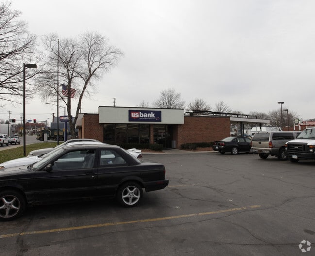
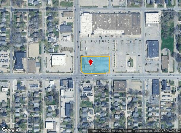
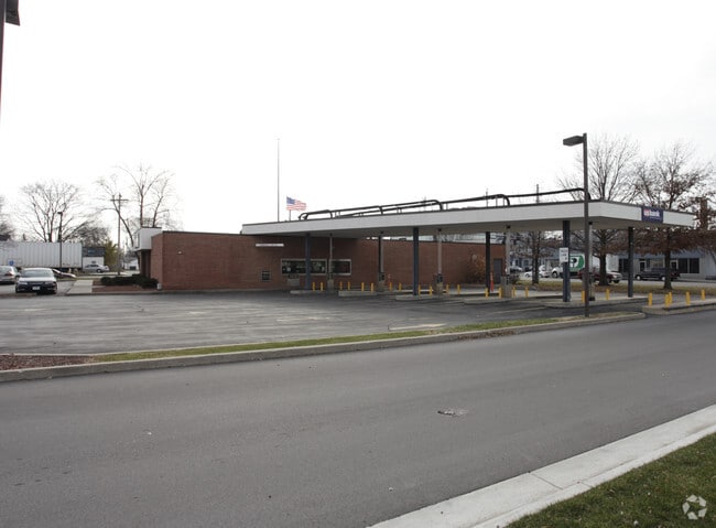
115 E Euclid Ave
070-02164005000
Highland Park
Financialbuilding
-EX BEG SW COR THN N33F SE47.28F W32.5F TO POB- & -EX E 38.5F S 5F W 277.5F S 168F- S 168F W 277.5F BLK F HIGHLAND PARK
X
Polk
19153C0215F
Iowa
2024
1.06 AC
2025
Northeast
000400
Des Moines
4,946 SF
Des Moines-West Des Moines, IA
DEMOGRAPHICS near 115 E Euclid Ave
1 Mile
3 Mile
5 Mile
2024 Total Population
14,178
83,904
184,102
2029 Population
14,650
87,573
191,445
Pop Growth 2024-2029
+ 3.33%
+ 4.37%
+ 3.99%
Average Age
37
37
38
2024 Total Households
5,503
33,410
76,826
HH Growth 2024-2029
+ 3.49%
+ 4.67%
+ 4.25%
Median Household Inc
$54,370
$52,961
$59,142
Avg Household Size
2.50
2.30
2.30
2024 Avg HH Vehicles
2.00
2.00
2.00
Median Home Value
$124,550
$145,041
$167,533
Median Year Built
1947
1954
1957
Nearby Places
Map Layers
Map Styles
 Street
 Aerial
- Restaurants
- Banks
- Shops
- Fitness
- Groceries
PUBLIC TRANSPORTATION
AIRPORT
Des Moines International
DRIVE
WALK
Distance
Des Moines International
19 min
8.3 mi
Freight Ports
Port Milwaukee
DRIVE
WALK
Distance
Port Milwaukee
412 min
371.5 mi
SALE & LEASE HISTORY
LISTING DATE
SALE/LEASE

Oct 01, 2021
For Sale
Nearby Properties
Address
Land Use
TOTAL SIZE
Lot Size
Zoning
Address
Land Use
TOTAL SIZE
Lot Size
Zoning
936,742 SF
6.85 AC
C-0
Address
Land Use
TOTAL SIZE
Lot Size
Zoning
2,157,357 SF
23.95 AC
PUD
Address
Land Use
TOTAL SIZE
Lot Size
Zoning
839,211 SF
4.93 AC
C-3A
Address
Land Use
TOTAL SIZE
Lot Size
Zoning
428,582 SF
6.87 AC
C-0
Address
Land Use
TOTAL SIZE
Lot Size
Zoning
481,030 SF
31.92 AC
PUD
Address
Land Use
TOTAL SIZE
Lot Size
Zoning
339,258 SF
9.50 AC
R3
Address
Land Use
TOTAL SIZE
Lot Size
Zoning
972,206 SF
1.23 AC
C-3
Address
Land Use
TOTAL SIZE
Lot Size
Zoning
484,524 SF
2.03 AC
C-3
Address
Land Use
TOTAL SIZE
Lot Size
Zoning
798,696 SF
4.04 AC
C-3
Address
Land Use
TOTAL SIZE
Lot Size
Zoning
529,814 SF
3.11 AC
C-3
Address
Land Use
TOTAL SIZE
Lot Size
Zoning
600,000 SF
40.15 AC
Address
Land Use
TOTAL SIZE
Lot Size
Zoning
274,736 SF
10.27 AC
R-3
Address
Land Use
TOTAL SIZE
Lot Size
Zoning
311,655 SF
2.38 AC
C3
Address
Land Use
TOTAL SIZE
Lot Size
Zoning
162,578 SF
6.37 AC
Address
Land Use
TOTAL SIZE
Lot Size
Zoning
335,556 SF
0.86 AC
C-3
Address
Land Use
TOTAL SIZE
Lot Size
Zoning
461,246 SF
2.11 AC
C-3
Address
Land Use
TOTAL SIZE
Lot Size
Zoning
254,071 SF
9.17 AC
R3
Address
Land Use
TOTAL SIZE
Lot Size
Zoning
262,833 SF
0.97 AC
C-3
Address
Land Use
TOTAL SIZE
Lot Size
Zoning
402,849 SF
0.83 AC
C-3
Address
Land Use
TOTAL SIZE
Lot Size
Zoning
122,364 SF
0.96 AC
C-0
Address
Land Use
TOTAL SIZE
Lot Size
Zoning
179,663 SF
2.27 AC
PUD
Address
Land Use
TOTAL SIZE
Lot Size
Zoning
257,407 SF
1.43 AC
Address
Land Use
TOTAL SIZE
Lot Size
Zoning
127,000 SF
1.92 AC
Address
Land Use
TOTAL SIZE
Lot Size
Zoning
427,768 SF
0.87 AC
C-3
Address
Land Use
TOTAL SIZE
Lot Size
Zoning
249,188 SF
0.39 AC
Address
Land Use
TOTAL SIZE
Lot Size
Zoning
555,952 SF
2 AC
C-3
Address
Land Use
TOTAL SIZE
Lot Size
Zoning
82,525 SF
0.97 AC
Address
Land Use
TOTAL SIZE
Lot Size
Zoning
96,450 SF
9.90 AC
R3
Address
Land Use
TOTAL SIZE
Lot Size
Zoning
123,535 SF
0.63 AC
The World's #1 Commercial Real Estate Marketplace
Connect with us
© 2025 CoStar Group
The information above has been obtained from sources believed reliable. While we do not doubt its accuracy we have not verified it and make no guarantee, warranty or representation about it. It is your responsibility to independently confirm its accuracy and completeness. Any projections, opinions, assumptions, or estimates used are for example only and do not represent the current or future performance of the property. The value of this transaction to you depends on tax and other factors which should be evaluated by your tax, financial, and legal advisors. You and your advisors should conduct a careful, independent investigation of the property to determine to your satisfaction the suitability of the property for your needs.