Property Record
115 Jarrell Dr, Belle Chasse, LA 70037

Property Detail
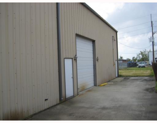
115 Jarrell Dr
New Orleans-Metairie, LA
LOT 6, SQ 2, WOODLAND INDUSTRIAL PARK S/D, 50' FRONT ON JARRELL DR X 160'.
1520325
PLAQUEMINES
Residentialacreage
Louisiana
I1
6
2025
1 AC
2025
Plaquemines Parish
050201
New Orleans/Metairie/Kenner
NEARBY LISTINGS FOR SALE OR LEASE
-
-
View all Belle Chasse listings for sale on LoopNet.com
DEMOGRAPHICS near 115 Jarrell Dr
1 mile
3 mile
5 mile
2025 Total Population
8,338
56,357
160,356
2030 Population
7,878
54,033
156,755
Pop Growth 2025-2030
(5.52%)
(4.12%)
(2.25%)
Average Age
39
40
39
2025 Total Households
3,298
21,430
61,052
HH Growth 2025-2030
(6.16%)
(4.51%)
(2.45%)
Median Household Inc
$64,858
$60,519
$52,976
Avg Household Size
2.30
2.50
2.50
2025 Avg HH Vehicles
1.00
2.00
2.00
Median Home Value
$195,627
$234,789
$236,813
Median Year Built
1976
1974
1974
Nearby Places
Map Layers
Map Styles
 Street
 Aerial
Layers
 Traffic
 Biking
Places
Listings with unknown addresses are not visible on the map
- Restaurants
- Banks
- Shops
- Fitness
- Groceries
PUBLIC TRANSPORTATION
COMMUTER RAIL
New Orleans Union Passenger Terminal (City of New Orleans - Amtrak, Crescent - Amtrak, Sunset Limited - Amtrak)
Drive
Walk
Distance
New Orleans Union Passenger Terminal (City of New Orleans - Amtrak, Crescent - Amtrak, Sunset Limited - Amtrak)
15 min
8.2 mi
AIRPORT
Louis Armstrong New Orleans International
Drive
Walk
Distance
Louis Armstrong New Orleans International
34 min
22.5 mi
Freight Ports
Plaquemines Port
Drive
Walk
Distance
Plaquemines Port
7 min
3.6 mi
Nearby Properties
Address
Land Use
TOTAL SIZE
Lot Size
Zoning
Address
Land Use
TOTAL SIZE
Lot Size
Zoning
85,568 SF
23.74 AC
MU-1
Address
Land Use
TOTAL SIZE
Lot Size
Zoning
109,688 SF
8.77 AC
S-RM1
Address
Land Use
TOTAL SIZE
Lot Size
Zoning
14.40 AC
Address
Land Use
TOTAL SIZE
Lot Size
Zoning
140,772 SF
9.01 AC
S-RS
Address
Land Use
TOTAL SIZE
Lot Size
Zoning
Address
Land Use
TOTAL SIZE
Lot Size
Zoning
1.38 AC
Address
Land Use
TOTAL SIZE
Lot Size
Zoning
147,253 SF
9.95 AC
S-RM1
Address
Land Use
TOTAL SIZE
Lot Size
Zoning
16.84 AC
EC
Address
Land Use
TOTAL SIZE
Lot Size
Zoning
228,859 SF
23.59 AC
C-3
Address
Land Use
TOTAL SIZE
Lot Size
Zoning
8.11 AC
EC
Address
Land Use
TOTAL SIZE
Lot Size
Zoning
2,160 SF
267.38 AC
A1
Address
Land Use
TOTAL SIZE
Lot Size
Zoning
Address
Land Use
TOTAL SIZE
Lot Size
Zoning
Address
Land Use
TOTAL SIZE
Lot Size
Zoning
11.05 AC
C-3
Address
Land Use
TOTAL SIZE
Lot Size
Zoning
30.04 AC
A1
Address
Land Use
TOTAL SIZE
Lot Size
Zoning
2.06 AC
EC
Address
Land Use
TOTAL SIZE
Lot Size
Zoning
387 AC
Address
Land Use
TOTAL SIZE
Lot Size
Zoning
6,540 SF
116 AC
OS-R
Address
Land Use
TOTAL SIZE
Lot Size
Zoning
53,964 SF
8.06 AC
S-RS
Address
Land Use
TOTAL SIZE
Lot Size
Zoning
574,842 SF
53.74 AC
S-RM1
Address
Land Use
TOTAL SIZE
Lot Size
Zoning
Address
Land Use
TOTAL SIZE
Lot Size
Zoning
0.08 AC
Address
Land Use
TOTAL SIZE
Lot Size
Zoning
9.39 AC
R1A
Address
Land Use
TOTAL SIZE
Lot Size
Zoning
364.71 AC
A1
Address
Land Use
TOTAL SIZE
Lot Size
Zoning
214,796 SF
2.98 AC
S-RM1
Address
Land Use
TOTAL SIZE
Lot Size
Zoning
93,368 SF
8.11 AC
EC
Address
Land Use
TOTAL SIZE
Lot Size
Zoning
16,267 SF
7.98 AC
S-RM1
Address
Land Use
TOTAL SIZE
Lot Size
Zoning
124,622 SF
6.15 AC
S-RS
Address
Land Use
TOTAL SIZE
Lot Size
Zoning
10.14 AC
Address
Land Use
TOTAL SIZE
Lot Size
Zoning
260,452 SF
11.03 AC
S-RM1
The World's #1 Commercial Real Estate Marketplace
Connect with us
© 2026 CoStar Group
The information above has been obtained from sources believed reliable. While we do not doubt its accuracy we have not verified it and make no guarantee, warranty or representation about it. It is your responsibility to independently confirm its accuracy and completeness. Any projections, opinions, assumptions, or estimates used are for example only and do not represent the current or future performance of the property. The value of this transaction to you depends on tax and other factors which should be evaluated by your tax, financial, and legal advisors. You and your advisors should conduct a careful, independent investigation of the property to determine to your satisfaction the suitability of the property for your needs.