Property Record
115 Mark Randy Pl, Modesto, CA 95350
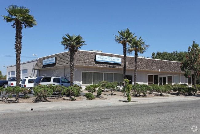

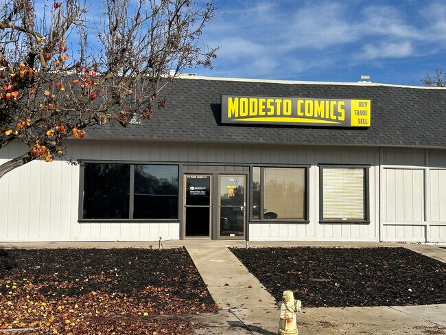

Property Detail
115 Mark Randy Pl
Modesto, CA
EQUIPMENT & SUPPLIES DD
120-52-37
Stanislaus
Storemultistory
California
B and X Area of moderate flood hazard, usually the area between the limits of the 100-year and 500-year floods.
13&14
2025
0.77 AC
2025
Modesto
000909
Stockton/Modesto
10,504 SF
NEARBY LISTINGS FOR SALE OR LEASE
DEMOGRAPHICS near 115 Mark Randy Pl
1 mile
3 mile
5 mile
2025 Total Population
18,491
143,977
272,099
2030 Population
18,619
144,930
274,006
Pop Growth 2025-2030
+ 0.69%
+ 0.66%
+ 0.70%
Average Age
40
39
38
2025 Total Households
6,970
51,525
89,965
HH Growth 2025-2030
+ 0.72%
+ 0.65%
+ 0.70%
Median Household Inc
$80,860
$82,000
$83,030
Avg Household Size
2.50
2.70
2.90
2025 Avg HH Vehicles
2.00
2.00
2.00
Median Home Value
$456,583
$454,215
$451,446
Median Year Built
1965
1974
1978
Nearby Places
Map Layers
Map Styles
 Street
 Aerial
Transit
 Traffic
 Biking
Places
Listings with unknown addresses are not visible on the map
- Restaurants
- Banks
- Shops
- Fitness
- Groceries
PUBLIC TRANSPORTATION
AIRPORT
Stockton Metro
Drive
Walk
Distance
Stockton Metro
36 min
24.7 mi
Freight Ports
Port of Stockton
Drive
Walk
Distance
Port of Stockton
44 min
33.1 mi
SALE & LEASE HISTORY
LISTING DATE
SALE/LEASE

Sep 03, 2021
For Lease
Jul 23, 2021
For Lease
Jan 31, 2022
For Lease
Feb 26, 2021
For Sale
Nearby Properties
Address
Land Use
TOTAL SIZE
Lot Size
Zoning
Address
Land Use
TOTAL SIZE
Lot Size
Zoning
766,000 SF
22.69 AC
MODPD
Address
Land Use
TOTAL SIZE
Lot Size
Zoning
373,574 SF
23 AC
Address
Land Use
TOTAL SIZE
Lot Size
Zoning
450,277 SF
15.29 AC
Address
Land Use
TOTAL SIZE
Lot Size
Zoning
308,903 SF
13.21 AC
Address
Land Use
TOTAL SIZE
Lot Size
Zoning
153,937 SF
7.87 AC
Address
Land Use
TOTAL SIZE
Lot Size
Zoning
151,288 SF
6.50 AC
Address
Land Use
TOTAL SIZE
Lot Size
Zoning
138,618 SF
3.99 AC
Address
Land Use
TOTAL SIZE
Lot Size
Zoning
20.31 AC
COUPD
Address
Land Use
TOTAL SIZE
Lot Size
Zoning
154,264 SF
7.63 AC
Address
Land Use
TOTAL SIZE
Lot Size
Zoning
266,975 SF
1.90 AC
Address
Land Use
TOTAL SIZE
Lot Size
Zoning
175,804 SF
13.79 AC
Address
Land Use
TOTAL SIZE
Lot Size
Zoning
189,239 SF
8.75 AC
PD
Address
Land Use
TOTAL SIZE
Lot Size
Zoning
131,958 SF
8.11 AC
Address
Land Use
TOTAL SIZE
Lot Size
Zoning
231,178 SF
10.04 AC
R3
Address
Land Use
TOTAL SIZE
Lot Size
Zoning
65,294 SF
4.20 AC
Address
Land Use
TOTAL SIZE
Lot Size
Zoning
156,854 SF
12.20 AC
PC
Address
Land Use
TOTAL SIZE
Lot Size
Zoning
120,383 SF
5.52 AC
MODCM
Address
Land Use
TOTAL SIZE
Lot Size
Zoning
79,458 SF
5.32 AC
Address
Land Use
TOTAL SIZE
Lot Size
Zoning
280,223 SF
23.52 AC
MODC2
Address
Land Use
TOTAL SIZE
Lot Size
Zoning
120,160 SF
6 AC
MODPD
Address
Land Use
TOTAL SIZE
Lot Size
Zoning
110,684 SF
5.03 AC
Address
Land Use
TOTAL SIZE
Lot Size
Zoning
118,800 SF
0.64 AC
Address
Land Use
TOTAL SIZE
Lot Size
Zoning
233,787 SF
14.65 AC
Address
Land Use
TOTAL SIZE
Lot Size
Zoning
119,046 SF
8.94 AC
Address
Land Use
TOTAL SIZE
Lot Size
Zoning
206,271 SF
6.94 AC
Address
Land Use
TOTAL SIZE
Lot Size
Zoning
60,156 SF
16.20 AC
Address
Land Use
TOTAL SIZE
Lot Size
Zoning
62,280 SF
1.95 AC
Address
Land Use
TOTAL SIZE
Lot Size
Zoning
2.16 AC
Address
Land Use
TOTAL SIZE
Lot Size
Zoning
53,976 SF
2 AC
Address
Land Use
TOTAL SIZE
Lot Size
Zoning
188,676 SF
13.27 AC
The World's #1 Commercial Real Estate Marketplace
Connect with us
© 2026 CoStar Group
The information above has been obtained from sources believed reliable. While we do not doubt its accuracy we have not verified it and make no guarantee, warranty or representation about it. It is your responsibility to independently confirm its accuracy and completeness. Any projections, opinions, assumptions, or estimates used are for example only and do not represent the current or future performance of the property. The value of this transaction to you depends on tax and other factors which should be evaluated by your tax, financial, and legal advisors. You and your advisors should conduct a careful, independent investigation of the property to determine to your satisfaction the suitability of the property for your needs.