Property Record
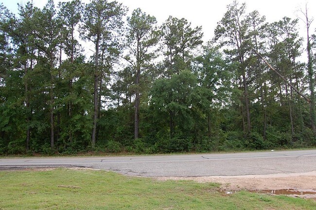
11555 Old Schoolhouse Rd, Plantersville, TX 77363

Property Detail
11555 Old Schoolhouse Rd
R12835
A0035 J LANDRUM, TRACT 63-6, ACRES 4.50
Taxexempt
GRIMES
4
Texas
B and X Area of moderate flood hazard, usually the area between the limits of the 100-year and 500-year floods.
6-63
2024
4.50 AC
2025
Central Texas Area
180102
Other Market Areas
NEARBY LISTINGS FOR SALE OR LEASE
DEMOGRAPHICS near 11555 Old Schoolhouse Rd
1 mile
3 mile
5 mile
2024 Total Population
197
1,844
5,573
2029 Population
222
2,081
6,399
Pop Growth 2024-2029
+ 12.69%
+ 12.85%
+ 14.82%
Average Age
42
42
42
2024 Total Households
75
716
2,095
HH Growth 2024-2029
+ 13.33%
+ 13.27%
+ 15.18%
Median Household Inc
$71,785
$72,142
$79,039
Avg Household Size
2.70
2.60
2.70
2024 Avg HH Vehicles
2.00
2.00
2.00
Median Home Value
$277,777
$286,332
$336,000
Median Year Built
1996
2001
2003
Nearby Places
Map Layers
Map Styles
 Street
 Aerial
Transit
 Traffic
 Biking
Places
Listings with unknown addresses are not visible on the map
- Restaurants
- Banks
- Shops
- Fitness
- Groceries
Nearby Properties
Address
Land Use
TOTAL SIZE
Lot Size
Zoning
Address
Land Use
TOTAL SIZE
Lot Size
Zoning
67,113 SF
8.17 AC
4
Address
Land Use
TOTAL SIZE
Lot Size
Zoning
Address
Land Use
TOTAL SIZE
Lot Size
Zoning
6,756 SF
130.69 AC
2
Address
Land Use
TOTAL SIZE
Lot Size
Zoning
98.72 AC
4
Address
Land Use
TOTAL SIZE
Lot Size
Zoning
100.76 AC
Address
Land Use
TOTAL SIZE
Lot Size
Zoning
1,496 SF
12 AC
2
Address
Land Use
TOTAL SIZE
Lot Size
Zoning
Address
Land Use
TOTAL SIZE
Lot Size
Zoning
5,003 SF
28.13 AC
4
Address
Land Use
TOTAL SIZE
Lot Size
Zoning
19,955 SF
91.47 AC
2
Address
Land Use
TOTAL SIZE
Lot Size
Zoning
14.77 AC
4
Address
Land Use
TOTAL SIZE
Lot Size
Zoning
Address
Land Use
TOTAL SIZE
Lot Size
Zoning
21,540 SF
7.88 AC
4
Address
Land Use
TOTAL SIZE
Lot Size
Zoning
6,673 SF
245.91 AC
4
Address
Land Use
TOTAL SIZE
Lot Size
Zoning
15,762 SF
12.66 AC
2
Address
Land Use
TOTAL SIZE
Lot Size
Zoning
10.57 AC
2
Address
Land Use
TOTAL SIZE
Lot Size
Zoning
18,574 SF
15 AC
Address
Land Use
TOTAL SIZE
Lot Size
Zoning
Address
Land Use
TOTAL SIZE
Lot Size
Zoning
11,353 SF
400 AC
2
Address
Land Use
TOTAL SIZE
Lot Size
Zoning
55,220 SF
6.27 AC
2
Address
Land Use
TOTAL SIZE
Lot Size
Zoning
11,834 SF
11.33 AC
Address
Land Use
TOTAL SIZE
Lot Size
Zoning
29.47 AC
Address
Land Use
TOTAL SIZE
Lot Size
Zoning
5,612 SF
13.09 AC
4
Address
Land Use
TOTAL SIZE
Lot Size
Zoning
196 SF
10.52 AC
4
Address
Land Use
TOTAL SIZE
Lot Size
Zoning
3,434 SF
5.92 AC
4
Address
Land Use
TOTAL SIZE
Lot Size
Zoning
10,754 SF
1.64 AC
4
Address
Land Use
TOTAL SIZE
Lot Size
Zoning
11,411 SF
29 AC
4
Address
Land Use
TOTAL SIZE
Lot Size
Zoning
9,379 SF
9 AC
4
Address
Land Use
TOTAL SIZE
Lot Size
Zoning
10,533 SF
205.88 AC
4
Address
Land Use
TOTAL SIZE
Lot Size
Zoning
7,454 SF
10.31 AC
Address
Land Use
TOTAL SIZE
Lot Size
Zoning
29,197 SF
25.06 AC
4
The World's #1 Commercial Real Estate Marketplace
Connect with us
© 2026 CoStar Group
The information above has been obtained from sources believed reliable. While we do not doubt its accuracy we have not verified it and make no guarantee, warranty or representation about it. It is your responsibility to independently confirm its accuracy and completeness. Any projections, opinions, assumptions, or estimates used are for example only and do not represent the current or future performance of the property. The value of this transaction to you depends on tax and other factors which should be evaluated by your tax, financial, and legal advisors. You and your advisors should conduct a careful, independent investigation of the property to determine to your satisfaction the suitability of the property for your needs.