Property Record
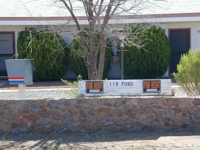
116 N Ford St, Pearce, AZ 85625

Property Detail
116 N Ford St
114-14-069
SUN SITES HGTS LOT 9 BLK 10
Apartment
Cochise
MIXED
Arizona
B and X Area of moderate flood hazard, usually the area between the limits of the 100-year and 500-year floods.
9
2024
0.83 AC
2025
Arizona SE & Sierra Vista Area
000203
Other Market Areas
3,726 SF
Sierra Vista-Douglas, AZ
NEARBY LISTINGS FOR SALE OR LEASE
-
-
View all Pearce listings for sale on LoopNet.com
DEMOGRAPHICS near 116 N Ford St
1 mile
3 mile
5 mile
2025 Total Population
817
1,037
1,498
2030 Population
842
1,069
1,544
Pop Growth 2025-2030
+ 3.06%
+ 3.09%
+ 3.07%
Average Age
56
56
55
2025 Total Households
453
565
787
HH Growth 2025-2030
+ 2.87%
+ 3.01%
+ 3.05%
Median Household Inc
$50,086
$49,838
$48,749
Avg Household Size
1.80
1.80
1.90
2025 Avg HH Vehicles
2.00
2.00
2.00
Median Home Value
$160,483
$165,509
$180,246
Median Year Built
1976
1977
1978
Nearby Places
Map Layers
Map Styles
 Street
 Aerial
Layers
 Traffic
 Biking
Places
Listings with unknown addresses are not visible on the map
- Restaurants
- Banks
- Shops
- Fitness
- Groceries
Nearby Properties
Address
Land Use
TOTAL SIZE
Lot Size
Zoning
Address
Land Use
TOTAL SIZE
Lot Size
Zoning
3,877 SF
155.45 AC
RU4
Address
Land Use
TOTAL SIZE
Lot Size
Zoning
8,412 SF
476.97 AC
RU4
Address
Land Use
TOTAL SIZE
Lot Size
Zoning
17,894 SF
113.89 AC
GB
Address
Land Use
TOTAL SIZE
Lot Size
Zoning
9,520 SF
1.11 AC
Address
Land Use
TOTAL SIZE
Lot Size
Zoning
3,400 SF
0.10 AC
MIXED
Address
Land Use
TOTAL SIZE
Lot Size
Zoning
26,657 SF
77.50 AC
RU4
Address
Land Use
TOTAL SIZE
Lot Size
Zoning
5,120 SF
0.20 AC
MIXED
Address
Land Use
TOTAL SIZE
Lot Size
Zoning
5,120 SF
2.18 AC
MIXED
Address
Land Use
TOTAL SIZE
Lot Size
Zoning
227.57 AC
Address
Land Use
TOTAL SIZE
Lot Size
Zoning
4,200 SF
164.16 AC
RU4
Address
Land Use
TOTAL SIZE
Lot Size
Zoning
9,344 SF
0.83 AC
MIXED
Address
Land Use
TOTAL SIZE
Lot Size
Zoning
8,536 SF
4 AC
HI
Address
Land Use
TOTAL SIZE
Lot Size
Zoning
4,187 SF
32.54 AC
RU4
Address
Land Use
TOTAL SIZE
Lot Size
Zoning
6,659 SF
0.79 AC
MIXED
Address
Land Use
TOTAL SIZE
Lot Size
Zoning
5,496 SF
4.20 AC
MIXED
Address
Land Use
TOTAL SIZE
Lot Size
Zoning
7,760 SF
20.73 AC
Address
Land Use
TOTAL SIZE
Lot Size
Zoning
3,854 SF
0.10 AC
R-36
Address
Land Use
TOTAL SIZE
Lot Size
Zoning
3,587 SF
4 AC
RU-10
Address
Land Use
TOTAL SIZE
Lot Size
Zoning
3,454 SF
1 AC
R-36
Address
Land Use
TOTAL SIZE
Lot Size
Zoning
1,677 SF
19 AC
GB
Address
Land Use
TOTAL SIZE
Lot Size
Zoning
6,200 SF
0.37 AC
MIXED
Address
Land Use
TOTAL SIZE
Lot Size
Zoning
40.60 AC
R-36
Address
Land Use
TOTAL SIZE
Lot Size
Zoning
57.12 AC
MIXED
Address
Land Use
TOTAL SIZE
Lot Size
Zoning
4,909 SF
1.49 AC
R-36
Address
Land Use
TOTAL SIZE
Lot Size
Zoning
3,882 SF
0.50 AC
TR36
Address
Land Use
TOTAL SIZE
Lot Size
Zoning
3,489 SF
2.50 AC
RU4
Address
Land Use
TOTAL SIZE
Lot Size
Zoning
2,000 SF
0.83 AC
MIXED
Address
Land Use
TOTAL SIZE
Lot Size
Zoning
3,908 SF
1.23 AC
RU4
Address
Land Use
TOTAL SIZE
Lot Size
Zoning
4,568 SF
0.83 AC
MIXED
The World's #1 Commercial Real Estate Marketplace
Connect with us
© 2026 CoStar Group
The information above has been obtained from sources believed reliable. While we do not doubt its accuracy we have not verified it and make no guarantee, warranty or representation about it. It is your responsibility to independently confirm its accuracy and completeness. Any projections, opinions, assumptions, or estimates used are for example only and do not represent the current or future performance of the property. The value of this transaction to you depends on tax and other factors which should be evaluated by your tax, financial, and legal advisors. You and your advisors should conduct a careful, independent investigation of the property to determine to your satisfaction the suitability of the property for your needs.