Property Record
1160 Street Rd, Bensalem, PA 19020

NEARBY LISTINGS FOR SALE OR LEASE
-
-
View all Bensalem listings for sale on LoopNet.com
Property Detail
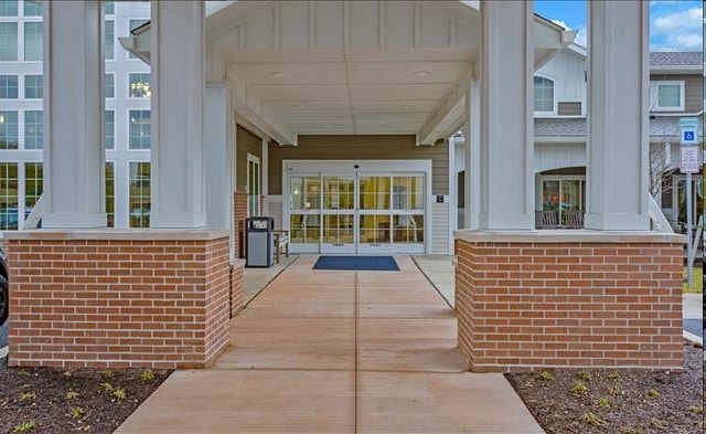
1160 Street Rd
48-020-043
10.3878AC WS STREET RD 402 ON STREET RD 514 S OF KUTCHER LN
Apartment
Bucks
X
Pennsylvania
42091C0316G
w
2024
10.39 AC
2025
Lower Bucks County
100214
Philadelphia
87,372 SF
Philadelphia-Camden-Wilmington, PA-NJ-DE-MD
DEMOGRAPHICS near 1160 Street Rd
1 Mile
3 Mile
5 Mile
2024 Total Population
7,182
66,131
213,487
2029 Population
7,191
66,101
212,448
Pop Growth 2024-2029
+ 0.13%
(0.05%)
(0.49%)
Average Age
47
44
44
2024 Total Households
2,832
25,017
81,487
HH Growth 2024-2029
+ 0.18%
(0.04%)
(0.53%)
Median Household Inc
$96,100
$93,934
$91,388
Avg Household Size
2.50
2.60
2.50
2024 Avg HH Vehicles
2.00
2.00
2.00
Median Home Value
$369,155
$382,529
$359,124
Median Year Built
1968
1968
1969
Nearby Places
Map Layers
Map Styles
 Street
 Aerial
- Restaurants
- Banks
- Shops
- Fitness
- Groceries
PUBLIC TRANSPORTATION
COMMUTER RAIL
Somerton (R3 - Southeastern Pennsylvania Transportation Authority Regional Rail (SEPTA Regional Rail))
DRIVE
WALK
Distance
Somerton (R3 - Southeastern Pennsylvania Transportation Authority Regional Rail (SEPTA Regional Rail))
7 min
3.8 mi
Forest Hills (R3 - Southeastern Pennsylvania Transportation Authority Regional Rail (SEPTA Regional Rail))
DRIVE
WALK
Distance
Forest Hills (R3 - Southeastern Pennsylvania Transportation Authority Regional Rail (SEPTA Regional Rail))
8 min
4.5 mi
AIRPORT
Trenton Mercer
DRIVE
WALK
Distance
Trenton Mercer
30 min
18.4 mi
Philadelphia International
DRIVE
WALK
Distance
Philadelphia International
50 min
33.2 mi
Freight Ports
Port of Philadelphia
DRIVE
WALK
Distance
Port of Philadelphia
29 min
16.2 mi
Nearby Properties
Address
Land Use
TOTAL SIZE
Lot Size
Zoning
Address
Land Use
TOTAL SIZE
Lot Size
Zoning
179,718 SF
6.61 AC
RM2
Address
Land Use
TOTAL SIZE
Lot Size
Zoning
282,292 SF
74.30 AC
IN
Address
Land Use
TOTAL SIZE
Lot Size
Zoning
251,655 SF
48.95 AC
SC
Address
Land Use
TOTAL SIZE
Lot Size
Zoning
157,400 SF
7.61 AC
RM2
Address
Land Use
TOTAL SIZE
Lot Size
Zoning
189,541 SF
13.58 AC
RM2
Address
Land Use
TOTAL SIZE
Lot Size
Zoning
115,000 SF
12.40 AC
I2
Address
Land Use
TOTAL SIZE
Lot Size
Zoning
112,471 SF
3.31 AC
RSD1
Address
Land Use
TOTAL SIZE
Lot Size
Zoning
75,497 SF
7.67 AC
CA1
Address
Land Use
TOTAL SIZE
Lot Size
Zoning
127,251 SF
17.55 AC
L
Address
Land Use
TOTAL SIZE
Lot Size
Zoning
155,567 SF
18.99 AC
IN
Address
Land Use
TOTAL SIZE
Lot Size
Zoning
50,170 SF
1.84 AC
RM2
Address
Land Use
TOTAL SIZE
Lot Size
Zoning
60,945 SF
74.12 AC
Address
Land Use
TOTAL SIZE
Lot Size
Zoning
92,735 SF
8.55 AC
IN
Address
Land Use
TOTAL SIZE
Lot Size
Zoning
84,000 SF
14.17 AC
LI
Address
Land Use
TOTAL SIZE
Lot Size
Zoning
49,124 SF
41.76 AC
IN
Address
Land Use
TOTAL SIZE
Lot Size
Zoning
69,680 SF
19 AC
LI
Address
Land Use
TOTAL SIZE
Lot Size
Zoning
64,000 SF
11.94 AC
LI
Address
Land Use
TOTAL SIZE
Lot Size
Zoning
74,764 SF
10.17 AC
SC
Address
Land Use
TOTAL SIZE
Lot Size
Zoning
19,484 SF
2.35 AC
RSA2
Address
Land Use
TOTAL SIZE
Lot Size
Zoning
12,194 SF
0.10 AC
CMX4
Address
Land Use
TOTAL SIZE
Lot Size
Zoning
30,144 SF
0.72 AC
RM2
Address
Land Use
TOTAL SIZE
Lot Size
Zoning
44,144 SF
7.30 AC
L
Address
Land Use
TOTAL SIZE
Lot Size
Zoning
44,309 SF
6.15 AC
IN
Address
Land Use
TOTAL SIZE
Lot Size
Zoning
36,324 SF
10 AC
IN
Address
Land Use
TOTAL SIZE
Lot Size
Zoning
64,685 SF
7.91 AC
IN
Address
Land Use
TOTAL SIZE
Lot Size
Zoning
22,386 SF
15.52 AC
INST
Address
Land Use
TOTAL SIZE
Lot Size
Zoning
89,071 SF
8.13 AC
I
Address
Land Use
TOTAL SIZE
Lot Size
Zoning
95,100 SF
184.59 AC
PR
Address
Land Use
TOTAL SIZE
Lot Size
Zoning
12,968 SF
145.92 AC
L
Address
Land Use
TOTAL SIZE
Lot Size
Zoning
14,580 SF
1.10 AC
CMX1
The World's #1 Commercial Real Estate Marketplace
Connect with us
© 2025 CoStar Group
The information above has been obtained from sources believed reliable. While we do not doubt its accuracy we have not verified it and make no guarantee, warranty or representation about it. It is your responsibility to independently confirm its accuracy and completeness. Any projections, opinions, assumptions, or estimates used are for example only and do not represent the current or future performance of the property. The value of this transaction to you depends on tax and other factors which should be evaluated by your tax, financial, and legal advisors. You and your advisors should conduct a careful, independent investigation of the property to determine to your satisfaction the suitability of the property for your needs.