Property Record
11600 Ashland Industrial Ct, Ashland, MO 65010


NEARBY LISTINGS FOR SALE OR LEASE
-
-
View all Ashland listings for sale on LoopNet.com
Property Detail
11600 Ashland Industrial Ct
Columbia, MO
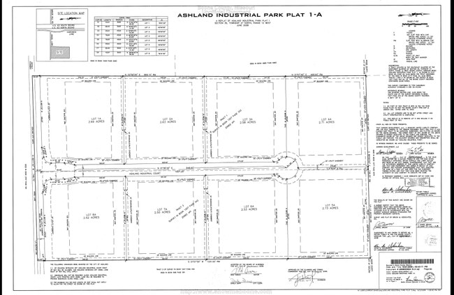
Ashland Industrial Park
21-900-00-02-006-00-01
ASHLAND INDUSTRIAL PARK PLAT 1A LOT 6A
Publicstorage
Boone
X
Missouri
29027C0275E
6a
2025
2.53 AC
2025
Columbia/Jefferson City
001703
Other Market Areas
5,900 SF
DEMOGRAPHICS near 11600 Ashland Industrial Ct
1 Mile
3 Mile
5 Mile
2024 Total Population
63
3,768
8,425
2029 Population
66
3,944
8,875
Pop Growth 2024-2029
+ 4.76%
+ 4.67%
+ 5.34%
Average Age
42
39
40
2024 Total Households
24
1,464
3,194
HH Growth 2024-2029
+ 4.17%
+ 4.85%
+ 5.48%
Median Household Inc
$96,874
$87,978
$89,967
Avg Household Size
2.70
2.60
2.60
2024 Avg HH Vehicles
2.00
2.00
2.00
Median Home Value
$374,999
$265,512
$297,520
Median Year Built
1987
1997
1994
Nearby Places
Map Layers
Map Styles
 Street
 Aerial
- Restaurants
- Banks
- Shops
- Fitness
- Groceries
PUBLIC TRANSPORTATION
AIRPORT
Columbia Regional
DRIVE
WALK
Distance
Columbia Regional
5 min
2.0 mi
SALE & LEASE HISTORY
LISTING DATE
SALE/LEASE

Sep 24, 2016
For Sale
Oct 31, 2017
For Sale
Jul 11, 2017
For Sale
Nearby Properties
Address
Land Use
TOTAL SIZE
Lot Size
Zoning
Address
Land Use
TOTAL SIZE
Lot Size
Zoning
55,927 SF
8.19 AC
Address
Land Use
TOTAL SIZE
Lot Size
Zoning
24,412 SF
2.73 AC
Address
Land Use
TOTAL SIZE
Lot Size
Zoning
36,000 SF
0.30 AC
Address
Land Use
TOTAL SIZE
Lot Size
Zoning
3,420 SF
70.12 AC
Address
Land Use
TOTAL SIZE
Lot Size
Zoning
19,049 SF
2.90 AC
R2
Address
Land Use
TOTAL SIZE
Lot Size
Zoning
10,120 SF
2.50 AC
R1
Address
Land Use
TOTAL SIZE
Lot Size
Zoning
18,843 SF
4.27 AC
RS
Address
Land Use
TOTAL SIZE
Lot Size
Zoning
4,365 SF
0.83 AC
CG
Address
Land Use
TOTAL SIZE
Lot Size
Zoning
29,500 SF
0.30 AC
A1
Address
Land Use
TOTAL SIZE
Lot Size
Zoning
6,680 SF
0.94 AC
Address
Land Use
TOTAL SIZE
Lot Size
Zoning
5,308 SF
1.41 AC
Address
Land Use
TOTAL SIZE
Lot Size
Zoning
8,959 SF
0.32 AC
Address
Land Use
TOTAL SIZE
Lot Size
Zoning
4,824 SF
1.20 AC
Address
Land Use
TOTAL SIZE
Lot Size
Zoning
9,900 SF
5 AC
Address
Land Use
TOTAL SIZE
Lot Size
Zoning
22,500 SF
4.60 AC
Address
Land Use
TOTAL SIZE
Lot Size
Zoning
19,507 SF
Address
Land Use
TOTAL SIZE
Lot Size
Zoning
4,480 SF
9.49 AC
IL
Address
Land Use
TOTAL SIZE
Lot Size
Zoning
1,680 SF
0.24 AC
CG
Address
Land Use
TOTAL SIZE
Lot Size
Zoning
7,225 SF
1.05 AC
Address
Land Use
TOTAL SIZE
Lot Size
Zoning
1,994 SF
1.35 AC
Address
Land Use
TOTAL SIZE
Lot Size
Zoning
2,200 SF
1.23 AC
Address
Land Use
TOTAL SIZE
Lot Size
Zoning
1,728 SF
34.95 AC
Address
Land Use
TOTAL SIZE
Lot Size
Zoning
4,950 SF
3.32 AC
R1
Address
Land Use
TOTAL SIZE
Lot Size
Zoning
6,668 SF
0.86 AC
Address
Land Use
TOTAL SIZE
Lot Size
Zoning
18,750 SF
0.30 AC
Address
Land Use
TOTAL SIZE
Lot Size
Zoning
9,100 SF
1.10 AC
Address
Land Use
TOTAL SIZE
Lot Size
Zoning
3,250 SF
0.25 AC
CG
Address
Land Use
TOTAL SIZE
Lot Size
Zoning
1,992 SF
0.31 AC
Address
Land Use
TOTAL SIZE
Lot Size
Zoning
5,996 SF
1.45 AC
LI
Address
Land Use
TOTAL SIZE
Lot Size
Zoning
5,031 SF
0.20 AC
CG
The World's #1 Commercial Real Estate Marketplace
Connect with us
© 2026 CoStar Group
The information above has been obtained from sources believed reliable. While we do not doubt its accuracy we have not verified it and make no guarantee, warranty or representation about it. It is your responsibility to independently confirm its accuracy and completeness. Any projections, opinions, assumptions, or estimates used are for example only and do not represent the current or future performance of the property. The value of this transaction to you depends on tax and other factors which should be evaluated by your tax, financial, and legal advisors. You and your advisors should conduct a careful, independent investigation of the property to determine to your satisfaction the suitability of the property for your needs.