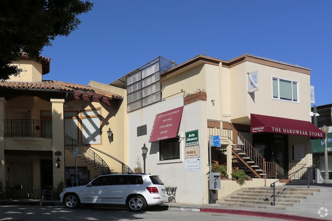
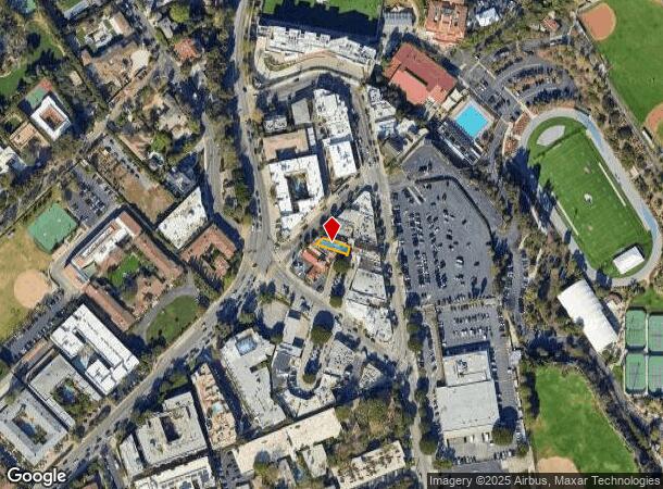
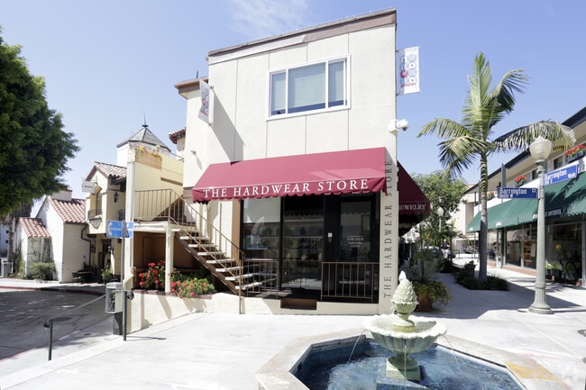
Property Record
11621 Barrington Ct, Los Angeles, CA 90049
NEARBY LISTINGS FOR SALE OR LEASE
Property Detail
11621 Barrington Ct
Los Angeles-Long Beach-Glendale, CA
9394
4401-006-003
TRACT # 9394 NE 25 FT MEASURED ON SE LINE OF LOT 2
Storesoffices
Los Angeles
X
California
06037C1580F
2
2024
0.05 AC
2025
Brentwood
264102
Los Angeles
3,828 SF
DEMOGRAPHICS near 11621 Barrington Ct
1 Mile
3 Mile
5 Mile
2024 Total Population
23,520
195,017
458,422
2029 Population
23,128
192,304
450,670
Pop Growth 2024-2029
(1.67%)
(1.39%)
(1.69%)
Average Age
39
39
41
2024 Total Households
10,691
82,850
205,063
HH Growth 2024-2029
(1.89%)
(1.62%)
(1.84%)
Median Household Inc
$127,106
$107,477
$108,210
Avg Household Size
2.10
2.10
2.10
2024 Avg HH Vehicles
2.00
2.00
2.00
Median Home Value
$1,111,518
$1,099,976
$1,116,507
Median Year Built
1969
1972
1969
Nearby Places
- Restaurants
- Banks
- Shops
- Fitness
- Groceries
PUBLIC TRANSPORTATION
AIRPORT
Los Angeles International
DRIVE
WALK
Distance
Los Angeles International
19 min
11.8 mi
Bob Hope
DRIVE
WALK
Distance
Bob Hope
27 min
17.0 mi
Long Beach (Daugherty Field)
DRIVE
WALK
Distance
Long Beach (Daugherty Field)
37 min
29.2 mi
Freight Ports
Port of Long Beach
DRIVE
WALK
Distance
Port of Long Beach
41 min
31.2 mi
Nearby Properties
Address
Land Use
TOTAL SIZE
Lot Size
Zoning
Address
Land Use
TOTAL SIZE
Lot Size
Zoning
1,436,724 SF
21.11 AC
LAC2
Address
Land Use
TOTAL SIZE
Lot Size
Zoning
486,993 SF
8.31 AC
SMCP3-CP5*
Address
Land Use
TOTAL SIZE
Lot Size
Zoning
45,135 SF
1.69 AC
LARE9
Address
Land Use
TOTAL SIZE
Lot Size
Zoning
1,509,050 SF
113.39 AC
LAA1
Address
Land Use
TOTAL SIZE
Lot Size
Zoning
3.47 AC
LARE15
Address
Land Use
TOTAL SIZE
Lot Size
Zoning
0.29 AC
LARE
Address
Land Use
TOTAL SIZE
Lot Size
Zoning
1,029,337 SF
3.34 AC
LAC4
Address
Land Use
TOTAL SIZE
Lot Size
Zoning
618,301 SF
1.99 AC
LAC4
Address
Land Use
TOTAL SIZE
Lot Size
Zoning
318,556 SF
3.19 AC
SMC5*
Address
Land Use
TOTAL SIZE
Lot Size
Zoning
636,436 SF
6.62 AC
LAC2
Address
Land Use
TOTAL SIZE
Lot Size
Zoning
500,629 SF
1.60 AC
LAC4
Address
Land Use
TOTAL SIZE
Lot Size
Zoning
366,614 SF
4.25 AC
LAC4
Address
Land Use
TOTAL SIZE
Lot Size
Zoning
858,380 SF
7.23 AC
SMC5*
Address
Land Use
TOTAL SIZE
Lot Size
Zoning
605,678 SF
LAC2
Address
Land Use
TOTAL SIZE
Lot Size
Zoning
35,635 SF
2.81 AC
LAC2
Address
Land Use
TOTAL SIZE
Lot Size
Zoning
483,875 SF
7.31 AC
SMC5*
Address
Land Use
TOTAL SIZE
Lot Size
Zoning
305,260 SF
1.36 AC
LAC4
Address
Land Use
TOTAL SIZE
Lot Size
Zoning
424,403 SF
1.76 AC
SMLMSD*
Address
Land Use
TOTAL SIZE
Lot Size
Zoning
208,783 SF
2.94 AC
SMLMSD*
Address
Land Use
TOTAL SIZE
Lot Size
Zoning
65,958 SF
6.79 AC
MOM*
Address
Land Use
TOTAL SIZE
Lot Size
Zoning
178,691 SF
3.42 AC
SMRMH*
Address
Land Use
TOTAL SIZE
Lot Size
Zoning
487,810 SF
2.21 AC
LAC2
Address
Land Use
TOTAL SIZE
Lot Size
Zoning
500,824 SF
3.59 AC
LAC2
Address
Land Use
TOTAL SIZE
Lot Size
Zoning
322,769 SF
3.61 AC
SMC5*
Address
Land Use
TOTAL SIZE
Lot Size
Zoning
350,132 SF
3.91 AC
SMC5*
Address
Land Use
TOTAL SIZE
Lot Size
Zoning
270,252 SF
14.99 AC
LARE40
Address
Land Use
TOTAL SIZE
Lot Size
Zoning
73,316 SF
2.07 AC
SMLMSD*
Address
Land Use
TOTAL SIZE
Lot Size
Zoning
355,770 SF
1.12 AC
LAC2
Address
Land Use
TOTAL SIZE
Lot Size
Zoning
293,240 SF
3.35 AC
SMC5*
Address
Land Use
TOTAL SIZE
Lot Size
Zoning
251,862 SF
1.15 AC
LAC4
The World's #1 Commercial Real Estate Marketplace
Connect with us
© 2025 CoStar Group
The information above has been obtained from sources believed reliable. While we do not doubt its accuracy we have not verified it and make no guarantee, warranty or representation about it. It is your responsibility to independently confirm its accuracy and completeness. Any projections, opinions, assumptions, or estimates used are for example only and do not represent the current or future performance of the property. The value of this transaction to you depends on tax and other factors which should be evaluated by your tax, financial, and legal advisors. You and your advisors should conduct a careful, independent investigation of the property to determine to your satisfaction the suitability of the property for your needs.