Property Record
11721 Reisterstown Rd, Reisterstown, MD 21136


NEARBY LISTINGS FOR SALE OR LEASE
Property Detail
11721 Reisterstown Rd
Baltimore-Columbia-Towson, MD
C H Michaels Pl
04-0413086520
LT 15 PT LT 14 C H MICHAELS PL
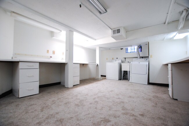
Officebuilding
Baltimore
X
Maryland
24013C0350D
14
2024
0.28 AC
2025
Reisterstown Rd Corridor
404502
Baltimore
990 SF
DEMOGRAPHICS near 11721 Reisterstown Rd
1 Mile
3 Mile
5 Mile
2024 Total Population
17,075
61,435
109,452
2029 Population
16,816
60,730
108,239
Pop Growth 2024-2029
(1.52%)
(1.15%)
(1.11%)
Average Age
38
39
40
2024 Total Households
6,472
23,634
42,415
HH Growth 2024-2029
(1.58%)
(1.18%)
(1.16%)
Median Household Inc
$69,087
$83,724
$91,410
Avg Household Size
2.50
2.50
2.50
2024 Avg HH Vehicles
2.00
2.00
2.00
Median Home Value
$293,491
$342,941
$334,208
Median Year Built
1976
1986
1989
Nearby Places
Map Layers
Map Styles
 Street
 Aerial
- Restaurants
- Banks
- Shops
- Fitness
- Groceries
PUBLIC TRANSPORTATION
AIRPORT
Baltimore/Washington International Thurgood Marshall
DRIVE
WALK
Distance
Baltimore/Washington International Thurgood Marshall
35 min
23.6 mi
Freight Ports
Port of Baltimore
DRIVE
WALK
Distance
Port of Baltimore
34 min
20.1 mi
SALE & LEASE HISTORY
LISTING DATE
SALE/LEASE

Jul 31, 2019
For Sale
Jul 15, 2019
For Sale
Jan 16, 2019
For Sale
Nearby Properties
Address
Land Use
TOTAL SIZE
Lot Size
Zoning
Address
Land Use
TOTAL SIZE
Lot Size
Zoning
Address
Land Use
TOTAL SIZE
Lot Size
Zoning
4.31 AC
BM-CT
Address
Land Use
TOTAL SIZE
Lot Size
Zoning
300,838 SF
33.27 AC
DR105
Address
Land Use
TOTAL SIZE
Lot Size
Zoning
159.90 AC
Address
Land Use
TOTAL SIZE
Lot Size
Zoning
464,593 SF
6.38 AC
BM
Address
Land Use
TOTAL SIZE
Lot Size
Zoning
333,600 SF
8.39 AC
ML
Address
Land Use
TOTAL SIZE
Lot Size
Zoning
589,225 SF
1.96 AC
Address
Land Use
TOTAL SIZE
Lot Size
Zoning
146,149 SF
1.08 AC
BM-CT
Address
Land Use
TOTAL SIZE
Lot Size
Zoning
285,044 SF
15.16 AC
MLIM
Address
Land Use
TOTAL SIZE
Lot Size
Zoning
18.87 AC
DR16
Address
Land Use
TOTAL SIZE
Lot Size
Zoning
151,140 SF
39.06 AC
Address
Land Use
TOTAL SIZE
Lot Size
Zoning
55,470 SF
9.69 AC
BM
Address
Land Use
TOTAL SIZE
Lot Size
Zoning
16.86 AC
Address
Land Use
TOTAL SIZE
Lot Size
Zoning
199,573 SF
6.35 AC
ML
Address
Land Use
TOTAL SIZE
Lot Size
Zoning
114,141 SF
54.89 AC
Address
Land Use
TOTAL SIZE
Lot Size
Zoning
164,453 SF
4.49 AC
ML
Address
Land Use
TOTAL SIZE
Lot Size
Zoning
271,013 SF
25.64 AC
Address
Land Use
TOTAL SIZE
Lot Size
Zoning
15.86 AC
DR16
Address
Land Use
TOTAL SIZE
Lot Size
Zoning
4,762 SF
15.93 AC
BMCCC
Address
Land Use
TOTAL SIZE
Lot Size
Zoning
125,171 SF
8.80 AC
Address
Land Use
TOTAL SIZE
Lot Size
Zoning
261,295 SF
8.62 AC
BM
Address
Land Use
TOTAL SIZE
Lot Size
Zoning
205,549 SF
7.32 AC
OT
Address
Land Use
TOTAL SIZE
Lot Size
Zoning
17.47 AC
DR16
Address
Land Use
TOTAL SIZE
Lot Size
Zoning
11.76 AC
DR3.5
Address
Land Use
TOTAL SIZE
Lot Size
Zoning
8.47 AC
DR16
Address
Land Use
TOTAL SIZE
Lot Size
Zoning
0.80 AC
BM-CT
Address
Land Use
TOTAL SIZE
Lot Size
Zoning
27,360 SF
12.67 AC
Address
Land Use
TOTAL SIZE
Lot Size
Zoning
8.70 AC
DR16
Address
Land Use
TOTAL SIZE
Lot Size
Zoning
7.75 AC
DR5.5
Address
Land Use
TOTAL SIZE
Lot Size
Zoning
174,647 SF
37.40 AC
RC3
The World's #1 Commercial Real Estate Marketplace
Connect with us
© 2026 CoStar Group
The information above has been obtained from sources believed reliable. While we do not doubt its accuracy we have not verified it and make no guarantee, warranty or representation about it. It is your responsibility to independently confirm its accuracy and completeness. Any projections, opinions, assumptions, or estimates used are for example only and do not represent the current or future performance of the property. The value of this transaction to you depends on tax and other factors which should be evaluated by your tax, financial, and legal advisors. You and your advisors should conduct a careful, independent investigation of the property to determine to your satisfaction the suitability of the property for your needs.