Property Record
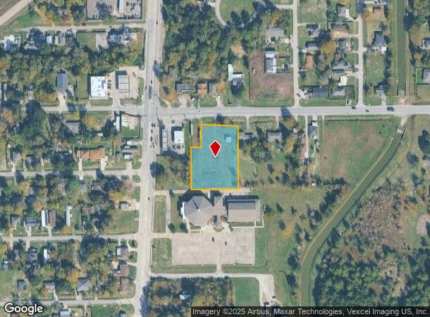
118 Fm 1942 Rd, Crosby, TX 77532


NEARBY LISTINGS FOR SALE OR LEASE
Property Detail
118 Fm 1942 Rd
0410400020065
Abst 84 R White
Commercialnec
TR 6M ABST 84 R WHITE
X
Harris
48291C0550C
Texas
2024
1.47 AC
2025
Northeast Outlier
252800
Houston
1,160 SF
Houston-The Woodlands-Sugar Land, TX
DEMOGRAPHICS near 118 Fm 1942 Rd
1 Mile
3 Mile
5 Mile
2024 Total Population
4,782
16,477
41,189
2029 Population
4,978
17,217
42,045
Pop Growth 2024-2029
+ 4.10%
+ 4.49%
+ 2.08%
Average Age
36
36
36
2024 Total Households
1,533
5,465
13,761
HH Growth 2024-2029
+ 4.04%
+ 4.37%
+ 1.87%
Median Household Inc
$59,760
$66,154
$68,727
Avg Household Size
3.10
3.00
3.00
2024 Avg HH Vehicles
2.00
2.00
2.00
Median Home Value
$206,414
$229,524
$223,798
Median Year Built
1989
1994
1991
Nearby Places
Map Layers
Map Styles
 Street
 Aerial
- Restaurants
- Banks
- Shops
- Fitness
- Groceries
PUBLIC TRANSPORTATION
AIRPORT
George Bush Intcntl/Houston
DRIVE
WALK
Distance
George Bush Intcntl/Houston
33 min
26.3 mi
William P Hobby
DRIVE
WALK
Distance
William P Hobby
42 min
26.9 mi
Freight Ports
Port of Houston
DRIVE
WALK
Distance
Port of Houston
28 min
18.8 mi
Nearby Properties
Address
Land Use
TOTAL SIZE
Lot Size
Zoning
Address
Land Use
TOTAL SIZE
Lot Size
Zoning
Address
Land Use
TOTAL SIZE
Lot Size
Zoning
5.68 AC
Address
Land Use
TOTAL SIZE
Lot Size
Zoning
634,459 SF
469.92 AC
Address
Land Use
TOTAL SIZE
Lot Size
Zoning
160,714 SF
19.36 AC
Address
Land Use
TOTAL SIZE
Lot Size
Zoning
252,516 SF
74.53 AC
Address
Land Use
TOTAL SIZE
Lot Size
Zoning
15,697 SF
14.02 AC
Address
Land Use
TOTAL SIZE
Lot Size
Zoning
58,521 SF
4.42 AC
Address
Land Use
TOTAL SIZE
Lot Size
Zoning
82,611 SF
5.06 AC
Address
Land Use
TOTAL SIZE
Lot Size
Zoning
10,672 SF
1.10 AC
Address
Land Use
TOTAL SIZE
Lot Size
Zoning
60,800 SF
24 AC
Address
Land Use
TOTAL SIZE
Lot Size
Zoning
28,050 SF
3.08 AC
Address
Land Use
TOTAL SIZE
Lot Size
Zoning
59,125 SF
6.72 AC
Address
Land Use
TOTAL SIZE
Lot Size
Zoning
65,124 SF
1.50 AC
Address
Land Use
TOTAL SIZE
Lot Size
Zoning
26,564 SF
4.20 AC
Address
Land Use
TOTAL SIZE
Lot Size
Zoning
21,370 SF
7.75 AC
Address
Land Use
TOTAL SIZE
Lot Size
Zoning
77,278 SF
3.89 AC
Address
Land Use
TOTAL SIZE
Lot Size
Zoning
195.12 AC
Address
Land Use
TOTAL SIZE
Lot Size
Zoning
34,004 SF
3.04 AC
Address
Land Use
TOTAL SIZE
Lot Size
Zoning
55,142 SF
3.94 AC
Address
Land Use
TOTAL SIZE
Lot Size
Zoning
49,048 SF
5.91 AC
Address
Land Use
TOTAL SIZE
Lot Size
Zoning
19,807 SF
3.91 AC
Address
Land Use
TOTAL SIZE
Lot Size
Zoning
17,034 SF
2.88 AC
Address
Land Use
TOTAL SIZE
Lot Size
Zoning
46,774 SF
6.73 AC
Address
Land Use
TOTAL SIZE
Lot Size
Zoning
14,290 SF
2.86 AC
Address
Land Use
TOTAL SIZE
Lot Size
Zoning
26,950 SF
6.07 AC
Address
Land Use
TOTAL SIZE
Lot Size
Zoning
88,057 SF
10 AC
Address
Land Use
TOTAL SIZE
Lot Size
Zoning
31,725 SF
4.81 AC
Address
Land Use
TOTAL SIZE
Lot Size
Zoning
28,100 SF
0.86 AC
Address
Land Use
TOTAL SIZE
Lot Size
Zoning
214.32 AC
Address
Land Use
TOTAL SIZE
Lot Size
Zoning
214.32 AC
The World's #1 Commercial Real Estate Marketplace
Connect with us
© 2025 CoStar Group
The information above has been obtained from sources believed reliable. While we do not doubt its accuracy we have not verified it and make no guarantee, warranty or representation about it. It is your responsibility to independently confirm its accuracy and completeness. Any projections, opinions, assumptions, or estimates used are for example only and do not represent the current or future performance of the property. The value of this transaction to you depends on tax and other factors which should be evaluated by your tax, financial, and legal advisors. You and your advisors should conduct a careful, independent investigation of the property to determine to your satisfaction the suitability of the property for your needs.