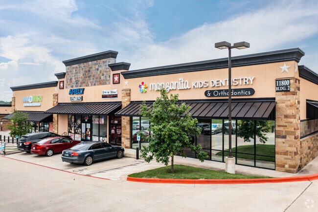
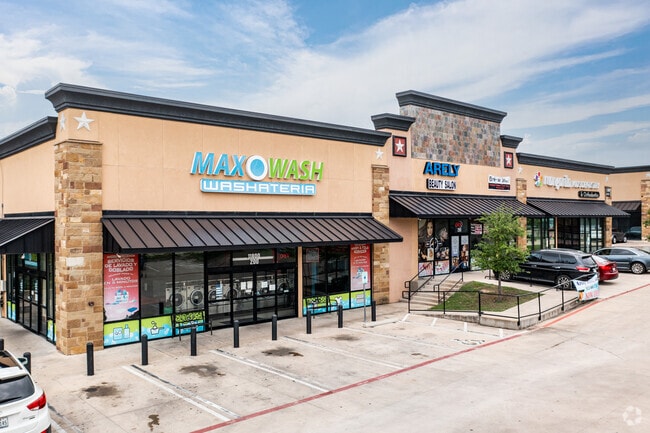
Property Record
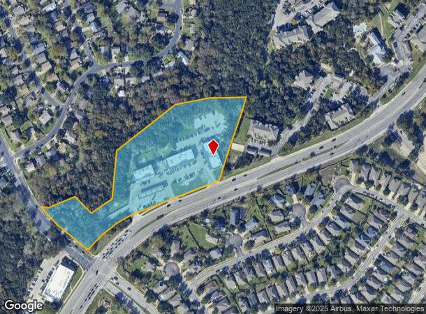
11800 Dessau Rd, Austin, TX 78754
NEARBY LISTINGS FOR SALE OR LEASE
Property Detail
11800 Dessau Rd
Austin-Round Rock, TX
Copperfield Sec 1 Phs G
254863
LOT 1 BLK A LESS S 3022 SQ FT COPPERFIELD SEC 1 PHS G
Storebuilding
Travis
X
Texas
48453C0270J
1
2024
6.80 AC
2025
Northeast
043800
Austin
19,290 SF
DEMOGRAPHICS near 11800 Dessau Rd
1 Mile
3 Mile
5 Mile
2024 Total Population
16,708
103,639
273,838
2029 Population
18,298
112,936
297,630
Pop Growth 2024-2029
+ 9.52%
+ 8.97%
+ 8.69%
Average Age
37
36
36
2024 Total Households
6,657
38,752
111,569
HH Growth 2024-2029
+ 10.41%
+ 9.65%
+ 9.39%
Median Household Inc
$72,950
$64,611
$67,677
Avg Household Size
2.40
2.60
2.40
2024 Avg HH Vehicles
2.00
2.00
2.00
Median Home Value
$283,591
$290,147
$321,968
Median Year Built
2002
1996
1994
Nearby Places
Map Layers
Map Styles
 Street
 Aerial
- Restaurants
- Banks
- Shops
- Fitness
- Groceries
PUBLIC TRANSPORTATION
AIRPORT
Austin-Bergstrom International
DRIVE
WALK
Distance
Austin-Bergstrom International
31 min
18.8 mi
Freight Ports
Calhoun Port
DRIVE
WALK
Distance
Calhoun Port
195 min
166.3 mi
SALE & LEASE HISTORY
LISTING DATE
SALE/LEASE

Sep 25, 2016
For Lease
Nearby Properties
Address
Land Use
TOTAL SIZE
Lot Size
Zoning
Address
Land Use
TOTAL SIZE
Lot Size
Zoning
368,100 SF
38.07 AC
Address
Land Use
TOTAL SIZE
Lot Size
Zoning
287,272 SF
17.68 AC
Address
Land Use
TOTAL SIZE
Lot Size
Zoning
348,496 SF
17.59 AC
Address
Land Use
TOTAL SIZE
Lot Size
Zoning
398,475 SF
35.14 AC
Address
Land Use
TOTAL SIZE
Lot Size
Zoning
379,500 SF
17.99 AC
Address
Land Use
TOTAL SIZE
Lot Size
Zoning
381,495 SF
13.54 AC
Address
Land Use
TOTAL SIZE
Lot Size
Zoning
6,498 SF
236.84 AC
Address
Land Use
TOTAL SIZE
Lot Size
Zoning
709,789 SF
52.90 AC
Address
Land Use
TOTAL SIZE
Lot Size
Zoning
307,036 SF
21.64 AC
Address
Land Use
TOTAL SIZE
Lot Size
Zoning
459,304 SF
28.36 AC
Address
Land Use
TOTAL SIZE
Lot Size
Zoning
752,804 SF
180.91 AC
Address
Land Use
TOTAL SIZE
Lot Size
Zoning
401,976 SF
38.07 AC
Address
Land Use
TOTAL SIZE
Lot Size
Zoning
311,850 SF
18.09 AC
Address
Land Use
TOTAL SIZE
Lot Size
Zoning
270,780 SF
18.17 AC
Address
Land Use
TOTAL SIZE
Lot Size
Zoning
237,600 SF
14.10 AC
Address
Land Use
TOTAL SIZE
Lot Size
Zoning
323,425 SF
14.20 AC
Address
Land Use
TOTAL SIZE
Lot Size
Zoning
384,776 SF
22.88 AC
Address
Land Use
TOTAL SIZE
Lot Size
Zoning
313,414 SF
37.71 AC
Address
Land Use
TOTAL SIZE
Lot Size
Zoning
264,401 SF
10.48 AC
Address
Land Use
TOTAL SIZE
Lot Size
Zoning
374,432 SF
14.28 AC
Address
Land Use
TOTAL SIZE
Lot Size
Zoning
439,312 SF
30.08 AC
Address
Land Use
TOTAL SIZE
Lot Size
Zoning
335,856 SF
18.55 AC
Address
Land Use
TOTAL SIZE
Lot Size
Zoning
277,987 SF
11.01 AC
Address
Land Use
TOTAL SIZE
Lot Size
Zoning
7,260 SF
93.05 AC
Address
Land Use
TOTAL SIZE
Lot Size
Zoning
297,000 SF
16.01 AC
Address
Land Use
TOTAL SIZE
Lot Size
Zoning
242,484 SF
15.50 AC
Address
Land Use
TOTAL SIZE
Lot Size
Zoning
330,841 SF
16.48 AC
Address
Land Use
TOTAL SIZE
Lot Size
Zoning
259,511 SF
13.65 AC
Address
Land Use
TOTAL SIZE
Lot Size
Zoning
400,630 SF
15.30 AC
Address
Land Use
TOTAL SIZE
Lot Size
Zoning
379,200 SF
19.79 AC
The World's #1 Commercial Real Estate Marketplace
Connect with us
© 2025 CoStar Group
The information above has been obtained from sources believed reliable. While we do not doubt its accuracy we have not verified it and make no guarantee, warranty or representation about it. It is your responsibility to independently confirm its accuracy and completeness. Any projections, opinions, assumptions, or estimates used are for example only and do not represent the current or future performance of the property. The value of this transaction to you depends on tax and other factors which should be evaluated by your tax, financial, and legal advisors. You and your advisors should conduct a careful, independent investigation of the property to determine to your satisfaction the suitability of the property for your needs.