Property Record
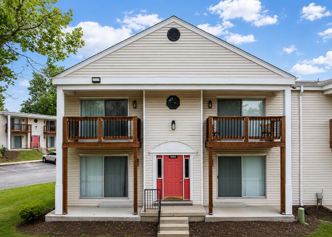
11811 E 83Rd St, Raytown, MO 64138


Property Detail
11811 E 83Rd St
51-320-02-03-00-0-00-000
SEC 22 TWP 48 RNG 32 BEG 320 E OF NW COR NW TH S 540 TH E 5 80 TH N 540 TH W 580 TO POB
Apartment
JACKSON
B and X Area of moderate flood hazard, usually the area between the limits of the 100-year and 500-year floods.
Missouri
2024
6.20 AC
2025
Raytown
012802
Kansas City
32,502 SF
Kansas City, MO-KS
NEARBY LISTINGS FOR SALE OR LEASE
DEMOGRAPHICS near 11811 E 83Rd St
1 mile
3 mile
5 mile
2025 Total Population
4,457
37,515
118,725
2030 Population
4,451
37,658
119,659
Pop Growth 2025-2030
(0.13%)
+ 0.38%
+ 0.79%
Average Age
44
41
41
2025 Total Households
1,879
15,181
48,569
HH Growth 2025-2030
(0.21%)
+ 0.38%
+ 0.83%
Median Household Inc
$66,992
$71,441
$71,427
Avg Household Size
2.30
2.40
2.40
2025 Avg HH Vehicles
2.00
2.00
2.00
Median Home Value
$217,930
$190,144
$209,284
Median Year Built
1974
1967
1971
Nearby Places
Map Layers
Map Styles
 Street
 Aerial
Layers
 Traffic
 Biking
Places
Listings with unknown addresses are not visible on the map
- Restaurants
- Banks
- Shops
- Fitness
- Groceries
PUBLIC TRANSPORTATION
COMMUTER RAIL
Lee's Summit Amtrak (Lincoln Service Missouri River Runner - Amtrak, Missouri River Runner - Amtrak)
Drive
Walk
Distance
Lee's Summit Amtrak (Lincoln Service Missouri River Runner - Amtrak, Missouri River Runner - Amtrak)
11 min
6.5 mi
AIRPORT
Kansas City International
Drive
Walk
Distance
Kansas City International
47 min
36.6 mi
Freight Ports
Tulsa Port Of Catoosa
Drive
Walk
Distance
Tulsa Port Of Catoosa
268 min
243.2 mi
Nearby Properties
Address
Land Use
TOTAL SIZE
Lot Size
Zoning
Address
Land Use
TOTAL SIZE
Lot Size
Zoning
523,783 SF
1.61 AC
Address
Land Use
TOTAL SIZE
Lot Size
Zoning
175,318 SF
26.37 AC
Address
Land Use
TOTAL SIZE
Lot Size
Zoning
82,704 SF
148.69 AC
Address
Land Use
TOTAL SIZE
Lot Size
Zoning
69,771 SF
83.01 AC
Address
Land Use
TOTAL SIZE
Lot Size
Zoning
168,184 SF
18.63 AC
Address
Land Use
TOTAL SIZE
Lot Size
Zoning
90,096 SF
Address
Land Use
TOTAL SIZE
Lot Size
Zoning
40,902 SF
8.69 AC
Address
Land Use
TOTAL SIZE
Lot Size
Zoning
173,321 SF
40 AC
Address
Land Use
TOTAL SIZE
Lot Size
Zoning
57,442 SF
59.91 AC
Address
Land Use
TOTAL SIZE
Lot Size
Zoning
58,140 SF
1.32 AC
Address
Land Use
TOTAL SIZE
Lot Size
Zoning
Address
Land Use
TOTAL SIZE
Lot Size
Zoning
47,537 SF
15.70 AC
Address
Land Use
TOTAL SIZE
Lot Size
Zoning
36,546 SF
23.46 AC
Address
Land Use
TOTAL SIZE
Lot Size
Zoning
43,200 SF
4.37 AC
Address
Land Use
TOTAL SIZE
Lot Size
Zoning
35,646 SF
3.25 AC
Address
Land Use
TOTAL SIZE
Lot Size
Zoning
67,570 SF
5.71 AC
Address
Land Use
TOTAL SIZE
Lot Size
Zoning
22,913 SF
151.50 AC
Address
Land Use
TOTAL SIZE
Lot Size
Zoning
37,401 SF
18.22 AC
Address
Land Use
TOTAL SIZE
Lot Size
Zoning
143,803 SF
9.17 AC
Address
Land Use
TOTAL SIZE
Lot Size
Zoning
36,873 SF
4.31 AC
Address
Land Use
TOTAL SIZE
Lot Size
Zoning
60,372 SF
12.37 AC
Address
Land Use
TOTAL SIZE
Lot Size
Zoning
9,627 SF
10.66 AC
Address
Land Use
TOTAL SIZE
Lot Size
Zoning
129,087 SF
19.85 AC
Address
Land Use
TOTAL SIZE
Lot Size
Zoning
86,614 SF
9.22 AC
Address
Land Use
TOTAL SIZE
Lot Size
Zoning
91,756 SF
8.48 AC
Address
Land Use
TOTAL SIZE
Lot Size
Zoning
34,344 SF
3.30 AC
Address
Land Use
TOTAL SIZE
Lot Size
Zoning
52,865 SF
5.98 AC
Address
Land Use
TOTAL SIZE
Lot Size
Zoning
86,522 SF
2.18 AC
Address
Land Use
TOTAL SIZE
Lot Size
Zoning
47,958 SF
2.61 AC
Address
Land Use
TOTAL SIZE
Lot Size
Zoning
83,340 SF
8.26 AC
The World's #1 Commercial Real Estate Marketplace
Connect with us
© 2026 CoStar Group
The information above has been obtained from sources believed reliable. While we do not doubt its accuracy we have not verified it and make no guarantee, warranty or representation about it. It is your responsibility to independently confirm its accuracy and completeness. Any projections, opinions, assumptions, or estimates used are for example only and do not represent the current or future performance of the property. The value of this transaction to you depends on tax and other factors which should be evaluated by your tax, financial, and legal advisors. You and your advisors should conduct a careful, independent investigation of the property to determine to your satisfaction the suitability of the property for your needs.