Property Record
11830 Ravenna Rd, Chardon, OH 44024


NEARBY LISTINGS FOR SALE OR LEASE
Property Detail
11830 Ravenna Rd
21-019200
LOT 6 TR 2 & LOTS 4 5 & 10 EAST DIVISION
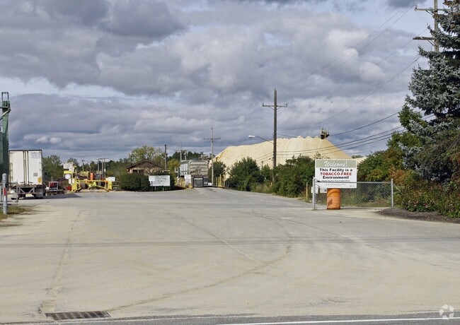
Minequarry
Geauga
X
Ohio
39055C0137D
6
2025
188.67 AC
2024
Geauga County
310800
Cleveland
240 SF
Cleveland-Elyria, OH
DEMOGRAPHICS near 11830 Ravenna Rd
1 mile
3 mile
5 mile
2024 Total Population
557
12,157
22,542
2029 Population
559
12,218
22,627
Pop Growth 2024-2029
+ 0.36%
+ 0.50%
+ 0.38%
Average Age
44
44
44
2024 Total Households
212
4,884
8,867
HH Growth 2024-2029
+ 0.47%
+ 0.49%
+ 0.32%
Median Household Inc
$111,328
$84,466
$90,511
Avg Household Size
2.40
2.40
2.40
2024 Avg HH Vehicles
2.00
2.00
2.00
Median Home Value
$269,791
$250,151
$267,030
Median Year Built
1993
1978
1977
Nearby Places
Map Layers
Map Styles
 Street
 Aerial
Transit
 Traffic
 Biking
Places
Listings with unknown addresses are not visible on the map
- Restaurants
- Banks
- Shops
- Fitness
- Groceries
Nearby Properties
Address
Land Use
TOTAL SIZE
Lot Size
Zoning
Address
Land Use
TOTAL SIZE
Lot Size
Zoning
219,567 SF
70.84 AC
INST
Address
Land Use
TOTAL SIZE
Lot Size
Zoning
116,208 SF
13.09 AC
INST
Address
Land Use
TOTAL SIZE
Lot Size
Zoning
188,150 SF
20.01 AC
C3
Address
Land Use
TOTAL SIZE
Lot Size
Zoning
70,289 SF
12.03 AC
PUD
Address
Land Use
TOTAL SIZE
Lot Size
Zoning
48,998 SF
8.10 AC
Address
Land Use
TOTAL SIZE
Lot Size
Zoning
98,228 SF
20 AC
S
Address
Land Use
TOTAL SIZE
Lot Size
Zoning
123,170 SF
7.50 AC
S
Address
Land Use
TOTAL SIZE
Lot Size
Zoning
50,048 SF
14.78 AC
C3
Address
Land Use
TOTAL SIZE
Lot Size
Zoning
960 SF
552.62 AC
Address
Land Use
TOTAL SIZE
Lot Size
Zoning
5,847 SF
14.15 AC
R2
Address
Land Use
TOTAL SIZE
Lot Size
Zoning
1,870 SF
102.70 AC
R1
Address
Land Use
TOTAL SIZE
Lot Size
Zoning
106,658 SF
14.40 AC
C3
Address
Land Use
TOTAL SIZE
Lot Size
Zoning
36,696 SF
10.30 AC
R3
Address
Land Use
TOTAL SIZE
Lot Size
Zoning
80,188 SF
5.83 AC
C3
Address
Land Use
TOTAL SIZE
Lot Size
Zoning
2,370 SF
43.96 AC
MHP
Address
Land Use
TOTAL SIZE
Lot Size
Zoning
3,024 SF
66.06 AC
Address
Land Use
TOTAL SIZE
Lot Size
Zoning
15,293 SF
19.32 AC
Address
Land Use
TOTAL SIZE
Lot Size
Zoning
35,159 SF
0.42 AC
R2
Address
Land Use
TOTAL SIZE
Lot Size
Zoning
55,768 SF
9.84 AC
C3
Address
Land Use
TOTAL SIZE
Lot Size
Zoning
66,551 SF
13.25 AC
PUD
Address
Land Use
TOTAL SIZE
Lot Size
Zoning
67,501 SF
6.59 AC
C3
Address
Land Use
TOTAL SIZE
Lot Size
Zoning
25,898 SF
2.26 AC
R2
Address
Land Use
TOTAL SIZE
Lot Size
Zoning
12,800 SF
7.50 AC
R4
Address
Land Use
TOTAL SIZE
Lot Size
Zoning
3,480 SF
9.30 AC
PUD
Address
Land Use
TOTAL SIZE
Lot Size
Zoning
68,539 SF
7.06 AC
IWTTO
Address
Land Use
TOTAL SIZE
Lot Size
Zoning
28,447 SF
7.70 AC
INST
Address
Land Use
TOTAL SIZE
Lot Size
Zoning
15,867 SF
8.12 AC
R2
Address
Land Use
TOTAL SIZE
Lot Size
Zoning
19,223 SF
20.05 AC
Address
Land Use
TOTAL SIZE
Lot Size
Zoning
28,432 SF
5.67 AC
The World's #1 Commercial Real Estate Marketplace
Connect with us
© 2026 CoStar Group
The information above has been obtained from sources believed reliable. While we do not doubt its accuracy we have not verified it and make no guarantee, warranty or representation about it. It is your responsibility to independently confirm its accuracy and completeness. Any projections, opinions, assumptions, or estimates used are for example only and do not represent the current or future performance of the property. The value of this transaction to you depends on tax and other factors which should be evaluated by your tax, financial, and legal advisors. You and your advisors should conduct a careful, independent investigation of the property to determine to your satisfaction the suitability of the property for your needs.